

How to get from Kannur International (airport) (Kerala) to Ottappālam (Kerala)
Calculate route from Kannur International (airport) (Kerala, India) to Ottappālam (Kerala, India).
The flight distance (as the crow flies) between Kannur International (airport) and Ottappālam is 156.0 km.
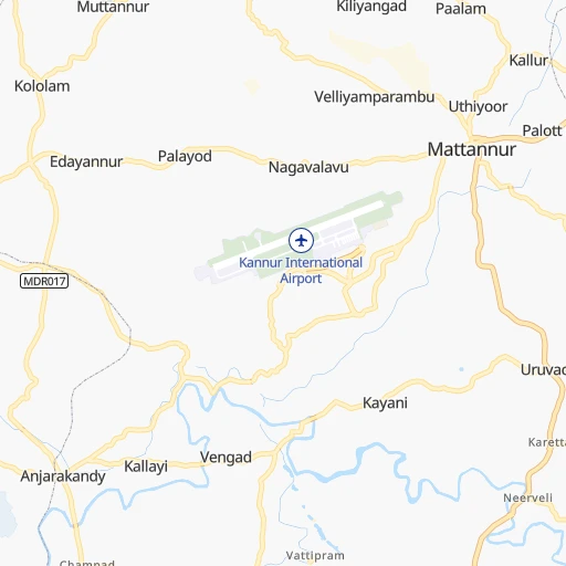
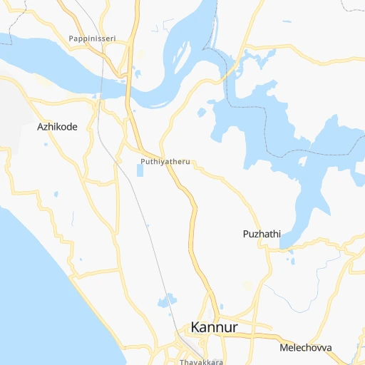
Roadmap (route) to go from Kannur International Airport to Ottappālam detailed above, you can also see the course layout on the map.
While doing trip Kannur International (airport) - Ottappālam by car, the calculated route ends at a distance , or more straight.
Distance and duration of the route between Kannur International (airport) and Ottappālam
An error occured: undefined - for url https://router.cartes.cc/route?point=11.91665%2C75.54663&point=10.7735%2C76.37758&vehicle=car&debug=false&data_type=application%2Fjson&locale=en&points_encoded=true&instructions=true&elevation=false&optimize=false&timeout=10000&skip.host=true&skip.basePath=true&graphhopper_maps_host=https%3A%2F%2Fgraphhopper.com%2Fmaps%2F%3F&turn_sign_map.0=continue&turn_sign_map.1=turn%20slight%20right&turn_sign_map.2=turn%20right&turn_sign_map.3=turn%20sharp%20right&turn_sign_map.4=finish&turn_sign_map.5=reached%20via%20point&turn_sign_map.6=enter%20roundabout&turn_sign_map.-6=leave%20roundabout&turn_sign_map.-3=turn%20sharp%20left&turn_sign_map.-2=turn%20left&turn_sign_map.-1=turn%20slight%20left&key=&position=topleft
Calculation of distance and route from Ottappālam to Kannur International (airport) :
156.0187.5 km3h4mn
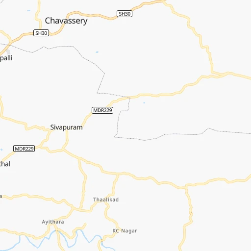
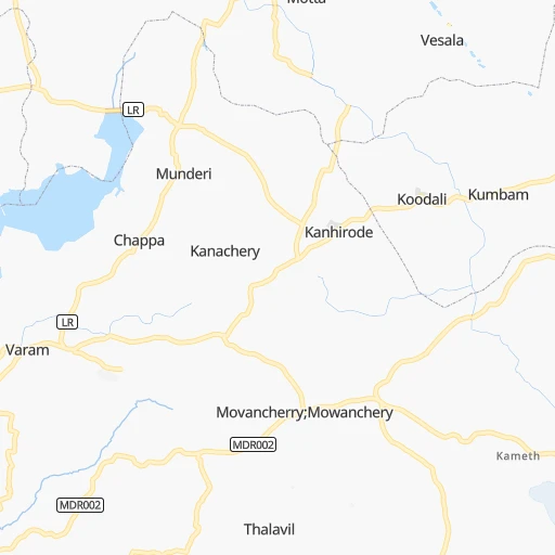
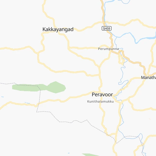
Continue onto Basement Road 0h1mn 463 mTurn right 0h0mn 358 mAt roundabout, take exit 1 onto Kannur airport - Chalode road 0h1mn 590 mAt roundabout, take exit 1 0h2mn 1.3 kmTurn right onto Chovva - Anjarakandy - Keezhallur Mattannur Road 0h1mn 1.0 kmTurn sharp left 0h1mn 263 mTurn right 0h0mn 129 mTurn right 0h1mn 431 mKeep right 0h1mn 575 mTurn slight right 0h0mn 97 mTurn left onto Kinavakkal - Vengad Road 0h6mn 6.4 kmTurn left onto Kannur-Kuthuparamba Road 0h0mn 572 mTurn right onto Kottayam Bazar Road 0h3mn 2.7 kmTurn right onto Thalassery - Mysore Road 0h3mn 2.7 kmTurn left onto Ponniam Road 0h2mn 2.5 kmTurn right 0h0mn 239 mTurn sharp right onto MDR 0h1mn 620 mTurn right onto Thalassery - Panoor Road 0h1mn 678 mTurn slight left 0h3mn 3.3 kmTurn left onto Thalassery-Kuttiyadi Road 0h0mn 336 mTurn right 0h1mn 1.1 kmTurn left 0h1mn 739 mTurn right 0h0mn 15 mTurn left onto NH66 1h54mn 59.1 kmTurn sharp right onto Providence College Road 0h0mn 115 mTurn sharp left onto Florican Hill Road 0h1mn 906 mTurn right onto Wayanad Road 0h0mn 23 mKeep left 0h0mn 104 mContinue onto NH66 0h8mn 8.8 kmAt roundabout, take exit 2 onto Kannur-Calicut-Valanchery Highway 0h6mn 6.6 kmAt roundabout, take exit 1 onto Calicut-Malappuram-Palakkad Highway NH 966 0h12mn 12.7 kmKeep left onto Kozhikkode - Palakkad Road 0h0mn 25 mContinue onto Calicut-Malappuram-Palakkad Highway NH 966 0h17mn 18.3 kmKeep left onto Malappuram Byepass Road 0h1mn 1.0 kmTurn right onto Tirur - Malappuram - Manjeri Road 0h2mn 2.1 kmTurn left onto Calicut-Malappuram-Perinthalmanna Highway 0h0mn 371 mKeep right onto Kootilangadi Old Road 0h1mn 673 mContinue onto Calicut-Malappuram-Palakkad Highway 0h5mn 5.7 kmTurn left onto Calicut-Malappuram-Palakkad Highway 0h8mn 9.6 kmTurn right 0h0mn 19 mTurn left onto Jubilee Road 0h2mn 1.8 kmTurn right onto Perumbilavu-Nilambur Road 0h0mn 399 mContinue onto Palakkad-Perintalmanna Road 0h5mn 4.8 kmKeep left 0h1mn 263 mTurn slight left onto Palakkad-Perintalmanna Road 0h1mn 860 mTurn left 0h4mn 3.2 kmTurn left onto Palakkad-Perintalmanna Road 0h5mn 5.5 kmTurn sharp right onto Cherpulassery-Pattambi-Koppam Road 0h0mn 409 mKeep left 0h1mn 661 mTurn left onto Ottappalam Cherpulassery Road 0h0mn 199 mTurn left 0h1mn 264 mTurn right 0h0mn 21 mTurn sharp left onto Ottappalam Cherpulassery Road 0h18mn 15.8 kmArrive at destination 0h0mn 0 m
Travel from Kannur International (airport) (Kerala) to a selection of major cities.
Distances from Kannur International Airport to biggest cities in Kerala
- Kannur,62,836 inhabitants.21 km
- Malappuram,61,743 inhabitants.114 km
- Kottayam,59,437 inhabitants.280 km
- Nedumangad,58,278 inhabitants.402 km
- Tiruvalla,57,223 inhabitants.304 km
- Tirur,54,934 inhabitants.119 km
- Kasaragod,53,309 inhabitants.89 km
- Changanacheri,51,430 inhabitants.296 km
- Mannarakkat,50,921 inhabitants.144 km
- Ottappalam,50,913 inhabitants.156 km
- Kizhake Chalakudi,49,330 inhabitants.200 km
- Punalur,47,263 inhabitants.356 km
- Cherthala,45,827 inhabitants.263 km
- Mattanur,45,521 inhabitants.3 km
- Shertallai,45,474 inhabitants.263 km
- Varkala,43,276 inhabitants.377 km
- Shoranur,42,694 inhabitants.151 km
- Nadapuram,39,512 inhabitants.28 km
- Aroor,39,214 inhabitants.243 km
- Paravur Tekkumbhagam,38,946 inhabitants.369 km
Other major cities in country :
- Vadodara [09], 1,409,476 inhabitants. 1,182 km
- Gorakhpur [10], 1,324,570 inhabitants. 1,952 km
- Nashik [16], 1,289,497 inhabitants. 919 km
- Pimpri [16], 1,284,606 inhabitants. 770 km
- Kalyan [16], 1,262,255 inhabitants. 856 km
- Thane [16], 1,261,517 inhabitants. 856 km
- Meerut [36], 1,223,184 inhabitants. 1,913 km
- Nowrangapur [21], 1,220,946 inhabitants. 1,107 km
- Faridabad [10], 1,220,229 inhabitants. 1,845 km
- Ghaziabad [36], 1,199,191 inhabitants. 1,875 km
- Dombivli [16], 1,193,000 inhabitants. 854 km
- Rajkot [09], 1,177,362 inhabitants. 1,260 km
- Varanasi [36], 1,164,404 inhabitants. 1,686 km
- Amritsar [23], 1,092,450 inhabitants. 2,195 km
- Allahabad [36], 1,073,438 inhabitants. 1,645 km
- Visakhapatnam [02], 1,063,178 inhabitants. 1,044 km
- Teni [25], 1,034,724 inhabitants. 299 km
- Jabalpur [35], 1,030,168 inhabitants. 1,336 km
- Haora [28], 1,027,672 inhabitants. 1,801 km
- Aurangabad [16], 1,016,441 inhabitants. 886 km
Route from Ottappālam to major cities (India).
- Distance Ottappālam Mumbai997 km
- Distance Ottappālam Delhi1,992 km
- Distance Ottappālam Bengaluru278 km
- Distance Ottappālam Kolkata1,830 km
- Distance Ottappālam Chennai497 km
- Distance Ottappālam Ahmedabad1,422 km
- Distance Ottappālam Hyderabad769 km
- Distance Ottappālam Pune904 km
- Distance Ottappālam Surat1,221 km
- Distance Ottappālam Kanpur1,796 km
- Distance Ottappālam Jaipur1,798 km
- Distance Ottappālam Navi Mumbai988 km
- Distance Ottappālam Lucknow1,851 km
- Distance Ottappālam Nagpur1,190 km
- Distance Ottappālam Indore1,331 km
- Distance Ottappālam Patna1,890 km
- Distance Ottappālam Bhopal1,394 km
- Distance Ottappālam Ludhiana2,242 km
- Distance Ottappālam Tirunelveli269 km
- Distance Ottappālam Agra1,835 km
Nearest cities to Kannur International (airport) :
- Bengaluru, 5,104,047 inhabitants. 252 km
- Teni, 1,034,724 inhabitants. 299 km
- Coimbatore, 959,823 inhabitants. 185 km
- Madurai, 909,908 inhabitants. 359 km
- Mysore, 868,313 inhabitants. 126 km
- Salem, 778,396 inhabitants. 286 km
- Cochin, 604,696 inhabitants. 233 km
- Kozhikode, 439,922 inhabitants. 79 km
- Davangere, 435,128 inhabitants. 287 km
- Mangalore, 417,387 inhabitants. 134 km
- Tiruppur, 397,521 inhabitants. 216 km
- Trichur, 325,110 inhabitants. 172 km
- Shimoga, 319,550 inhabitants. 224 km
- Tumkur, 307,359 inhabitants. 232 km
- Anantapur, 240,442 inhabitants. 380 km
- Dindigul, 200,797 inhabitants. 317 km
- Alleppey, 176,783 inhabitants. 283 km
- Udupi, 165,000 inhabitants. 180 km
- Bhadravati, 163,903 inhabitants. 216 km
- Erode, 147,270 inhabitants. 246 km
- Chitradurga, 138,587 inhabitants. 273 km
- Robertsonpet, 135,218 inhabitants. 318 km
- Mandya, 134,845 inhabitants. 162 km
- Hindupur, 133,298 inhabitants. 300 km
- Palghat, 132,728 inhabitants. 176 km
- Hassan, 128,531 inhabitants. 135 km
- Kolar, 126,441 inhabitants. 312 km
- Rajapalaiyam, 124,168 inhabitants. 351 km
- Chikmagalur, 121,484 inhabitants. 158 km
- Yelahanka, 116,447 inhabitants. 259 km
- Dharmavaram, 114,050 inhabitants. 364 km
- Madanapalle, 108,593 inhabitants. 369 km
- Ponnani, 105,512 inhabitants. 134 km
- Hosur, 103,724 inhabitants. 265 km
- Ranibennur, 99,105 inhabitants. 301 km
- Ooty, 98,238 inhabitants. 137 km
- Tellicherry, 97,201 inhabitants. 20 km
- Closepet, 93,528 inhabitants. 209 km
- Tadpatri, 93,044 inhabitants. 427 km
- Valparai, 90,353 inhabitants. 234 km
- Kovilpatti, 90,296 inhabitants. 397 km
- Manjeri, 89,201 inhabitants. 108 km
- Pollachi, 88,214 inhabitants. 212 km
- Tiruchengode, 87,123 inhabitants. 263 km
- Aruppukkottai, 85,369 inhabitants. 387 km
- Kadiri, 81,498 inhabitants. 374 km
- Dod Ballapur, 78,676 inhabitants. 265 km
- Harihar, 78,034 inhabitants. 290 km
- Kadayanallur, 77,772 inhabitants. 373 km
- Karur, 76,915 inhabitants. 296 km
Location Kannur International (airport) (Kerala) :
| Country flag |  |
| Location | Kannur International (airport) |
| State | Kerala |
| County | Kannur |
| Country | India |
| Country code / ISO 2 | IN |
| Latitude | 11.9166500 |
| Longitude | 75.5466300 |
| Altitude | 0 meters |
| Time zone | Asia/Kolkata |
Location Ottappālam (Kerala) :
| Country flag | |
| Location | Ottappālam |
| State | Kerala |
| County | Palakkad district |
| Country | India |
| Country code / ISO 2 | IN |
| Latitude | 10.7735000 |
| Longitude | 76.3775800 |
| Altitude | 0 meters |
| Time zone | Asia/Kolkata |


