

How to get from Jolarpettai (Tamil Nadu) to Mayiladuthurai (Tamil Nadu)
Calculate route from Jolarpettai (Tamil Nadu, India) to Mayiladuthurai (Tamil Nadu, India).
The flight distance (as the crow flies) between Jolarpettai and Mayiladuthurai is 199.9 km.
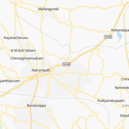
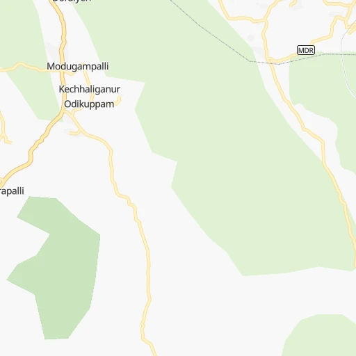
Roadmap (route) to go from Jolarpettai to Mayiladuthurai detailed above, you can also see the course layout on the map.
While doing trip Jolarpettai - Mayiladuthurai by car, the calculated route ends at a distance , or more straight.
Distance and duration of the route between Jolarpettai and Mayiladuthurai
An error occured: undefined - for url https://router.cartes.cc/route?point=12.56085%2C78.57782&point=11.10354%2C79.655&vehicle=car&debug=false&data_type=application%2Fjson&locale=en&points_encoded=true&instructions=true&elevation=false&optimize=false&timeout=10000&skip.host=true&skip.basePath=true&graphhopper_maps_host=https%3A%2F%2Fgraphhopper.com%2Fmaps%2F%3F&turn_sign_map.0=continue&turn_sign_map.1=turn%20slight%20right&turn_sign_map.2=turn%20right&turn_sign_map.3=turn%20sharp%20right&turn_sign_map.4=finish&turn_sign_map.5=reached%20via%20point&turn_sign_map.6=enter%20roundabout&turn_sign_map.-6=leave%20roundabout&turn_sign_map.-3=turn%20sharp%20left&turn_sign_map.-2=turn%20left&turn_sign_map.-1=turn%20slight%20left&key=&position=topleft
Calculation of distance and route from Mayiladuthurai to Jolarpettai :
199.9258.6 km4h54mn
Continue onto Railway station Road 0h0mn 82 mTurn right onto Salem - Thirupathur - Vaniyambadi Road 0h4mn 4.4 kmAt roundabout, take exit 1 onto Salem - Thirupathur - Vaniyambadi Road 0h3mn 3.2 kmTurn sharp left onto Tirupattur – Singarapet Road 0h27mn 29.9 kmTurn left onto NH77 0h12mn 17.0 kmKeep left onto Pondy - Krishnagiri Road (Old NH66) 0h26mn 35.6 kmAt roundabout, take exit 1 onto Thiruvannamalai Bypass 0h2mn 2.1 kmKeep left onto Thiruvannamalai Bypass 0h0mn 59 mAt roundabout, take exit 2 onto Thiruvannamalai Bypass 0h1mn 1.3 kmTurn left 0h0mn 49 mTurn left 0h26mn 29.1 kmKeep right onto Thirukoilur Bypass Road 0h4mn 4.2 kmTurn slight right onto Thirukoilur - Asanur Road 0h25mn 27.3 kmTurn slight left onto Salem Main Road 0h1mn 917 mKeep right onto Mangalampet - Elavanasurkottai Road 0h15mn 12.8 kmTurn right onto Virdhachalam - Ulundurpet - Villupuram Road 0h14mn 15.9 kmContinue onto Cuddalore - Vridhachalam - Salem Road 0h1mn 847 mTurn right onto Virudhachalam - Portonovo Road 0h23mn 25.2 kmTurn right onto NH36 0h3mn 3.1 kmTurn left onto Keerapalayam - Sethiyathope Road 0h1mn 618 mTurn right onto Veeranam Tank Bund Road 0h21mn 23.1 kmTurn left 0h5mn 5.2 kmTurn left 0h2mn 1.7 kmTurn left onto Vaitheeswarankoil - Lower Anaicut Road 0h0mn 162 mTurn right 0h0mn 165 mTurn right 0h0mn 77 mKeep right 0h3mn 1.7 kmKeep right 0h4mn 2.0 kmContinue 0h1mn 854 mTurn right onto Mayiladuthurai - Pattavarthi Road 0h1mn 543 mTurn left onto Mayiladuthurai - Pattavarthi Road 0h4mn 4.3 kmTurn left onto Mayiladuthurai - Pattavarthi Road 0h0mn 141 mTurn right onto Mayiladuthurai - Pattavarthi Road 0h3mn 2.9 kmTurn right onto Mayiladuthurai - Pattavarthi Road (Town Limit) 0h0mn 403 mContinue onto Grand Anaicut - Kaveripattinam Road 0h1mn 629 mTurn right onto Kumbakonam - Sirkali Road 0h0mn 430 mTurn left 0h1mn 322 mArrive at destination 0h0mn 0 m
Travel from Jolarpettai (Tamil Nadu) to a selection of major cities.
Distances from Jolarpettai to biggest cities in Tamil Nadu
- Alandur,153,775 inhabitants.183 km
- Erode,147,270 inhabitants.164 km
- Kumbakonam,139,264 inhabitants.199 km
- Tiruvannamalai,138,243 inhabitants.66 km
- Rajapalaiyam,124,168 inhabitants.364 km
- Pudukkottai,112,118 inhabitants.244 km
- Ambur,109,873 inhabitants.30 km
- Hosur,103,724 inhabitants.83 km
- Ooty,98,238 inhabitants.242 km
- Villupuram,97,380 inhabitants.121 km
- Negapatam,94,238 inhabitants.243 km
- Gudiyatham,93,973 inhabitants.54 km
- Karaikkudi,91,908 inhabitants.278 km
- Valparai,90,353 inhabitants.306 km
- Kovilpatti,90,296 inhabitants.385 km
- Vaniyambadi,90,288 inhabitants.14 km
- Pollachi,88,214 inhabitants.272 km
- Tiruchengode,87,123 inhabitants.151 km
- Mayiladuthurai,86,660 inhabitants.200 km
- Paramagudi,85,695 inhabitants.336 km
Other major cities in country :
- Nashik [16], 1,289,497 inhabitants. 973 km
- Pimpri [16], 1,284,606 inhabitants. 847 km
- Kalyan [16], 1,262,255 inhabitants. 945 km
- Thane [16], 1,261,517 inhabitants. 952 km
- Meerut [36], 1,223,184 inhabitants. 1,830 km
- Nowrangapur [21], 1,220,946 inhabitants. 855 km
- Faridabad [10], 1,220,229 inhabitants. 1,769 km
- Ghaziabad [36], 1,199,191 inhabitants. 1,797 km
- Dombivli [16], 1,193,000 inhabitants. 946 km
- Rajkot [09], 1,177,362 inhabitants. 1,362 km
- Varanasi [36], 1,164,404 inhabitants. 1,494 km
- Amritsar [23], 1,092,450 inhabitants. 2,156 km
- Allahabad [36], 1,073,438 inhabitants. 1,475 km
- Visakhapatnam [02], 1,063,178 inhabitants. 756 km
- Jabalpur [35], 1,030,168 inhabitants. 1,190 km
- Haora [28], 1,027,672 inhabitants. 1,519 km
- Aurangabad [16], 1,016,441 inhabitants. 885 km
- Shivaji Nagar [16], 1,000,000 inhabitants. 836 km
- Solapur [16], 997,281 inhabitants. 637 km
- Srinagar [12], 975,857 inhabitants. 2,426 km
Route from Mayiladuthurai to major cities (India).
- Distance Mayiladuthurai Mumbai1,147 km
- Distance Mayiladuthurai Delhi1,970 km
- Distance Mayiladuthurai Bengaluru306 km
- Distance Mayiladuthurai Kolkata1,576 km
- Distance Mayiladuthurai Ahmedabad1,525 km
- Distance Mayiladuthurai Hyderabad711 km
- Distance Mayiladuthurai Pune1,035 km
- Distance Mayiladuthurai Surat1,339 km
- Distance Mayiladuthurai Kanpur1,712 km
- Distance Mayiladuthurai Jaipur1,807 km
- Distance Mayiladuthurai Navi Mumbai1,135 km
- Distance Mayiladuthurai Lucknow1,757 km
- Distance Mayiladuthurai Nagpur1,120 km
- Distance Mayiladuthurai Indore1,355 km
- Distance Mayiladuthurai Patna1,713 km
- Distance Mayiladuthurai Bhopal1,374 km
- Distance Mayiladuthurai Ludhiana2,240 km
- Distance Mayiladuthurai Agra1,798 km
- Distance Mayiladuthurai Vadodara1,423 km
- Distance Mayiladuthurai Gorakhpur2,083 km
Nearest cities to Jolarpettai :
- Bengaluru, 5,104,047 inhabitants. 116 km
- Chennai, 4,328,063 inhabitants. 194 km
- Teni, 1,034,724 inhabitants. 308 km
- Coimbatore, 959,823 inhabitants. 247 km
- Madurai, 909,908 inhabitants. 298 km
- Mysore, 868,313 inhabitants. 213 km
- Salem, 778,396 inhabitants. 111 km
- Tiruchirappalli, 775,484 inhabitants. 195 km
- Cochin, 604,696 inhabitants. 386 km
- Kozhikode, 439,922 inhabitants. 338 km
- Davangere, 435,128 inhabitants. 357 km
- Nellore, 404,158 inhabitants. 260 km
- Tiruppur, 397,521 inhabitants. 209 km
- Ambattur, 341,049 inhabitants. 182 km
- Bellary, 336,681 inhabitants. 338 km
- Trichur, 325,110 inhabitants. 344 km
- Tumkur, 307,359 inhabitants. 182 km
- Tirupati, 250,821 inhabitants. 150 km
- Avadi, 250,044 inhabitants. 177 km
- Tiruvottiyur, 248,059 inhabitants. 199 km
- Anantapur, 240,442 inhabitants. 258 km
- Puducherry, 227,411 inhabitants. 153 km
- Tanjore, 219,571 inhabitants. 207 km
- Dindigul, 200,797 inhabitants. 253 km
- Hospet, 197,846 inhabitants. 383 km
- Proddatur, 177,797 inhabitants. 244 km
- Vellore, 177,081 inhabitants. 72 km
- Tambaram, 174,787 inhabitants. 173 km
- Ongole, 172,872 inhabitants. 364 km
- Gadag-Betageri, 172,813 inhabitants. 451 km
- Nandyal, 165,337 inhabitants. 325 km
- Bhadravati, 163,903 inhabitants. 343 km
- Gadag, 162,569 inhabitants. 451 km
- Cuddalore, 158,569 inhabitants. 157 km
- Pallavaram, 157,145 inhabitants. 177 km
- Kanchipuram, 155,029 inhabitants. 126 km
- Alandur, 153,775 inhabitants. 183 km
- Erode, 147,270 inhabitants. 164 km
- Kumbakonam, 139,264 inhabitants. 199 km
- Chitradurga, 138,587 inhabitants. 300 km
- Tiruvannamalai, 138,243 inhabitants. 66 km
- Robertsonpet, 135,218 inhabitants. 55 km
- Mandya, 134,845 inhabitants. 183 km
- Hindupur, 133,298 inhabitants. 184 km
- Palghat, 132,728 inhabitants. 289 km
- Hassan, 128,531 inhabitants. 274 km
- Cuddapah, 127,010 inhabitants. 215 km
- Kolar, 126,441 inhabitants. 81 km
- Chikmagalur, 121,484 inhabitants. 316 km
- Guntakal Junction, 120,964 inhabitants. 319 km
Location Jolarpettai (Tamil Nadu) :
| Country flag |  |
| Location | Jolarpettai |
| State | Tamil Nadu |
| County | Vellore |
| Country | India |
| Country code / ISO 2 | IN |
| Latitude | 12.5608500 |
| Longitude | 78.5778200 |
| Altitude | 0 meters |
| Time zone | Asia/Kolkata |
Location Mayiladuthurai (Tamil Nadu) :
| Country flag | |
| Location | Mayiladuthurai |
| State | Tamil Nadu |
| County | Nagapattinam |
| Country | India |
| Country code / ISO 2 | IN |
| Latitude | 11.1035400 |
| Longitude | 79.6550000 |
| Altitude | 0 meters |
| Time zone | Asia/Kolkata |
