
How to get from Kamareddi (Telangana) to Bhongīr (Telangana)
Calculate route from Kamareddi (Telangana, India) to Bhongīr (Telangana, India).
The flight distance (as the crow flies) between Kamareddi and Bhongīr is 107.2 km.
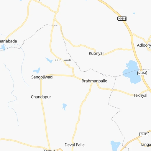
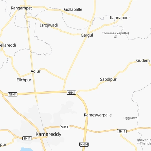
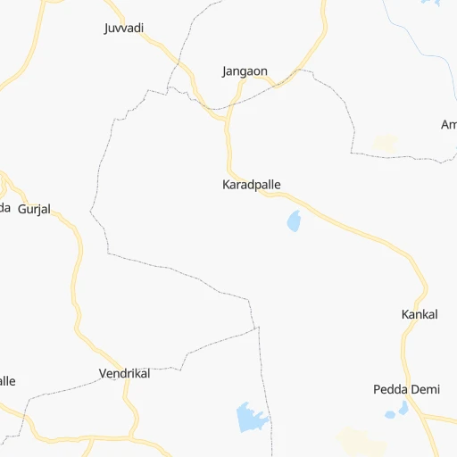
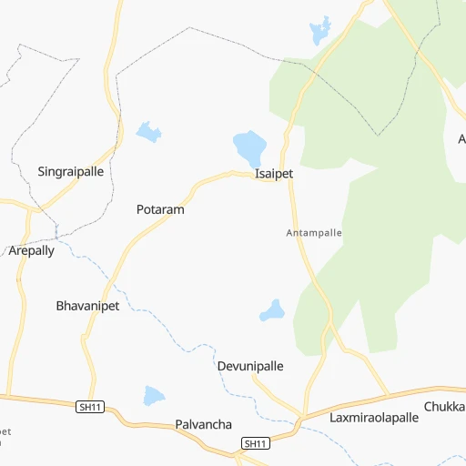
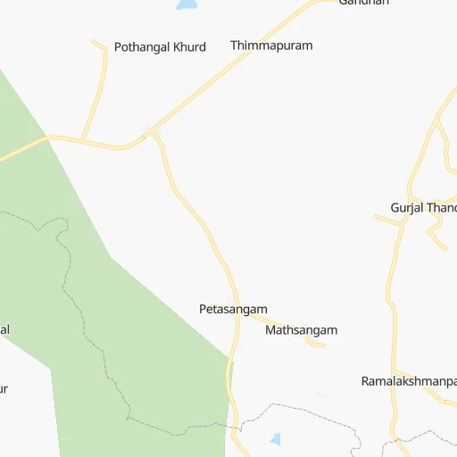
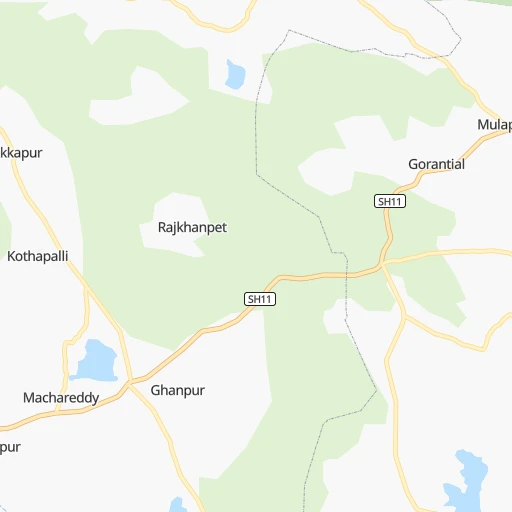
Roadmap (route) to go from Kamareddi to Bhongīr detailed above, you can also see the course layout on the map.
While doing trip Kamareddi - Bhongīr by car, the calculated route ends at a distance , or more straight.
Distance and duration of the route between Kamareddi and Bhongīr
An error occured: undefined - for url https://router.cartes.cc/route?point=18.32586%2C78.33586&point=17.51544%2C78.88563&vehicle=car&debug=false&data_type=application%2Fjson&locale=en&points_encoded=true&instructions=true&elevation=false&optimize=false&timeout=10000&skip.host=true&skip.basePath=true&graphhopper_maps_host=https%3A%2F%2Fgraphhopper.com%2Fmaps%2F%3F&turn_sign_map.0=continue&turn_sign_map.1=turn%20slight%20right&turn_sign_map.2=turn%20right&turn_sign_map.3=turn%20sharp%20right&turn_sign_map.4=finish&turn_sign_map.5=reached%20via%20point&turn_sign_map.6=enter%20roundabout&turn_sign_map.-6=leave%20roundabout&turn_sign_map.-3=turn%20sharp%20left&turn_sign_map.-2=turn%20left&turn_sign_map.-1=turn%20slight%20left&key=&position=topleft
Calculation of distance and route from Bhongīr to Kamareddi :
107.2120.4 km2h51mn
Continue 0h0mn 129 mTurn left 0h0mn 26 mTurn right 0h0mn 47 mTurn left 0h0mn 78 mTurn right 0h0mn 228 mTurn left onto Old NH7 0h21mn 24.3 kmKeep left onto Old NH7 0h2mn 2.1 kmKeep left onto SH15 0h1mn 1.5 kmKeep right 0h21mn 21.1 kmTurn left 0h0mn 178 mTurn right 0h13mn 13.3 kmTurn right 0h2mn 2.0 kmTurn slight right 0h4mn 4.1 kmAt roundabout, take exit 2 0h2mn 1.9 kmContinue 0h0mn 83 mTurn right 0h0mn 361 mTurn right 0h1mn 898 mTurn left onto NH161AA 0h0mn 275 mKeep left onto NH161AA 0h2mn 2.7 kmTurn left onto NH161AA 0h0mn 175 mTurn right onto NH161AA 0h1mn 1.3 kmTurn left onto NH161AA 1h37mn 43.1 kmTurn left onto Bhuvanagiri Main Road 0h0mn 383 mMake a U-turn onto Bhuvanagiri Main Road 0h0mn 218 mArrive at destination 0h0mn 0 m
Travel from Kamareddi (Telangana) to a selection of major cities.
Distances from Kamareddi to biggest cities in Telangana
- Nirmal,80,982 inhabitants.86 km
- Kottagudem,79,247 inhabitants.257 km
- Mancheral,77,998 inhabitants.130 km
- Paloncha,75,224 inhabitants.264 km
- Bodhan,73,938 inhabitants.60 km
- Sirsilla,71,499 inhabitants.51 km
- Kamareddi,71,042 inhabitants.1 km
- Palwancha,68,561 inhabitants.261 km
- Bellampalli,66,660 inhabitants.147 km
- Mandamarri,66,176 inhabitants.140 km
- Siddipet,64,562 inhabitants.60 km
- Tandur,63,239 inhabitants.144 km
- Koratla,60,231 inhabitants.68 km
- Sangareddi,59,199 inhabitants.82 km
- Kodar,59,170 inhabitants.227 km
- Gadwal,55,952 inhabitants.240 km
- Wanparti,55,182 inhabitants.220 km
- Gaddi Annaram,53,622 inhabitants.109 km
- Bhongir,50,094 inhabitants.107 km
- Jangaon,47,558 inhabitants.109 km
Other major cities in country :
- Gorakhpur [10], 1,324,570 inhabitants. 1,267 km
- Nashik [16], 1,289,497 inhabitants. 513 km
- Pimpri [16], 1,284,606 inhabitants. 479 km
- Kalyan [16], 1,262,255 inhabitants. 557 km
- Thane [16], 1,261,517 inhabitants. 574 km
- Meerut [36], 1,223,184 inhabitants. 1,188 km
- Nowrangapur [21], 1,220,946 inhabitants. 455 km
- Faridabad [10], 1,220,229 inhabitants. 1,128 km
- Ghaziabad [36], 1,199,191 inhabitants. 1,155 km
- Dombivli [16], 1,193,000 inhabitants. 562 km
- Rajkot [09], 1,177,362 inhabitants. 903 km
- Varanasi [36], 1,164,404 inhabitants. 916 km
- Amritsar [23], 1,092,450 inhabitants. 1,520 km
- Allahabad [36], 1,073,438 inhabitants. 871 km
- Visakhapatnam [02], 1,063,178 inhabitants. 520 km
- Teni [25], 1,034,724 inhabitants. 930 km
- Jabalpur [35], 1,030,168 inhabitants. 564 km
- Haora [28], 1,027,672 inhabitants. 1,143 km
- Aurangabad [16], 1,016,441 inhabitants. 359 km
- Shivaji Nagar [16], 1,000,000 inhabitants. 474 km
Route from Bhongīr to major cities (India).
- Distance Bhongīr Mumbai658 km
- Distance Bhongīr Delhi1,251 km
- Distance Bhongīr Bengaluru524 km
- Distance Bhongīr Kolkata1,139 km
- Distance Bhongīr Chennai515 km
- Distance Bhongīr Ahmedabad899 km
- Distance Bhongīr Pune544 km
- Distance Bhongīr Surat756 km
- Distance Bhongīr Kanpur1,008 km
- Distance Bhongīr Jaipur1,094 km
- Distance Bhongīr Navi Mumbai643 km
- Distance Bhongīr Lucknow1,059 km
- Distance Bhongīr Nagpur405 km
- Distance Bhongīr Indore661 km
- Distance Bhongīr Patna1,107 km
- Distance Bhongīr Bhopal657 km
- Distance Bhongīr Ludhiana1,523 km
- Distance Bhongīr Tirunelveli987 km
- Distance Bhongīr Agra1,080 km
- Distance Bhongīr Vadodara798 km
Nearest cities to Kamareddi :
- Hyderabad, 3,597,816 inhabitants. 106 km
- Nagpur, 2,228,018 inhabitants. 324 km
- Aurangabad, 1,016,441 inhabitants. 359 km
- Solapur, 997,281 inhabitants. 267 km
- Vijayawada, 874,587 inhabitants. 318 km
- Amravati, 603,837 inhabitants. 297 km
- Warangal, 557,802 inhabitants. 137 km
- Nanded, 550,564 inhabitants. 142 km
- Guntur, 530,577 inhabitants. 319 km
- Gulbarga, 483,615 inhabitants. 193 km
- Kurnool, 460,184 inhabitants. 280 km
- Ramgundam, 452,261 inhabitants. 129 km
- Jalgaon, 429,298 inhabitants. 416 km
- Akola, 428,857 inhabitants. 300 km
- Latur, 348,967 inhabitants. 187 km
- Kukatpalli, 341,709 inhabitants. 94 km
- Chanda, 328,351 inhabitants. 207 km
- Nizamabad, 305,438 inhabitants. 46 km
- Parbhani, 289,629 inhabitants. 195 km
- Bijapur, 271,064 inhabitants. 324 km
- Jalna, 262,034 inhabitants. 308 km
- Lal Bahadur Nagar, 261,987 inhabitants. 111 km
- Durg, 255,283 inhabitants. 443 km
- Ramagundam, 235,000 inhabitants. 129 km
- Karimnagar, 228,745 inhabitants. 85 km
- Raichur, 225,962 inhabitants. 258 km
- Quthbullapur, 225,816 inhabitants. 93 km
- Secunderabad, 204,182 inhabitants. 94 km
- Bidar, 204,071 inhabitants. 97 km
- Burhanpur, 202,695 inhabitants. 399 km
- Machilipatnam, 192,827 inhabitants. 381 km
- Ellore, 183,387 inhabitants. 344 km
- Bhusaval, 183,001 inhabitants. 404 km
- Ongole, 172,872 inhabitants. 363 km
- Gadag-Betageri, 172,813 inhabitants. 434 km
- Khammam, 170,503 inhabitants. 226 km
- Nandyal, 165,337 inhabitants. 317 km
- Adoni, 163,631 inhabitants. 321 km
- Gadag, 162,569 inhabitants. 432 km
- Raj-Nandgaon, 150,755 inhabitants. 418 km
- Serilingampalle, 150,525 inhabitants. 93 km
- Malkajgiri, 150,000 inhabitants. 100 km
- Mahbubnagar, 136,135 inhabitants. 180 km
- Yavatmal, 128,175 inhabitants. 231 km
- Nalgonda, 121,826 inhabitants. 173 km
- Adilabad, 118,526 inhabitants. 151 km
- Uppal Kalan, 118,259 inhabitants. 105 km
- Gudivada, 116,161 inhabitants. 352 km
- Wardha, 113,759 inhabitants. 270 km
- Suriapet, 111,729 inhabitants. 190 km
Location Kamareddi (Telangana) :
| Country flag |  |
| Location | Kamareddi |
| State | Telangana |
| County | Nizamabad |
| Country | India |
| Country code / ISO 2 | IN |
| Latitude | 18.3258600 |
| Longitude | 78.3358600 |
| Altitude | 0 meters |
| Time zone | Asia/Kolkata |
Location Bhongīr (Telangana) :
| Country flag | |
| Location | Bhongīr |
| State | Telangana |
| County | Yadadri Bhuvanagiri |
| Country | India |
| Country code / ISO 2 | IN |
| Latitude | 17.5154400 |
| Longitude | 78.8856300 |
| Altitude | 0 meters |
| Time zone | Asia/Kolkata |