
How to get from Dehare (Maharashtra) to Bilimora (Gujarat)
Calculate route from Dehare (Maharashtra, India) to Bilimora (Gujarat, India).
The flight distance (as the crow flies) between Dehare and Bilimora is 246.6 km.
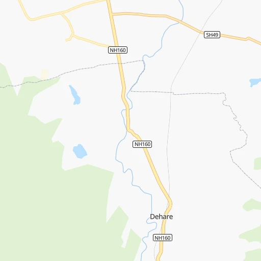
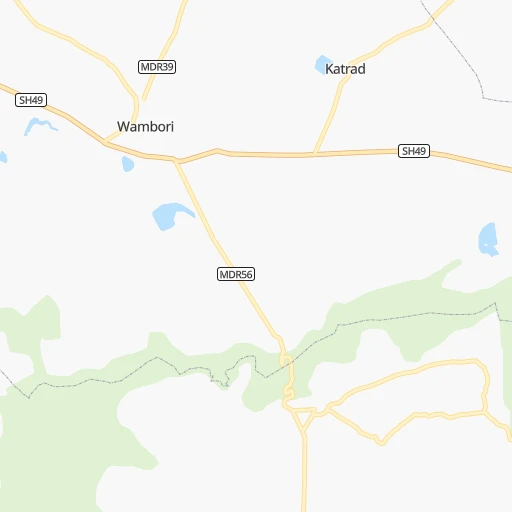
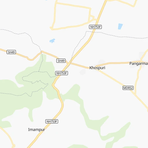
Roadmap (route) to go from Dehare to Bilimora detailed above, you can also see the course layout on the map.
While doing trip Dehare - Bilimora by car, the calculated route ends at a distance , or more straight.
Distance and duration of the route between Dehare and Bilimora
Calculation of distance and route from Bilimora to Dehare :
246.6298.4 km4h22mn
Continue 0h2mn 1.1 kmTurn left onto NH160 1h32mn 36.9 kmKeep left onto NH160D 0h7mn 7.8 kmTurn left 0h0mn 30 mTurn left onto NH160D 0h0mn 447 mTurn left 0h0mn 19 mTurn left onto NH160D 0h9mn 10.5 kmKeep right 0h25mn 29.5 kmTurn right onto Pune Nashik Road 0h2mn 1.7 kmKeep left onto NH60 0h12mn 14.3 kmTurn right 0h0mn 36 mTurn slight left 0h0mn 56 mTurn slight left onto Pune Nashik Road 0h8mn 9.0 kmKeep right 0h20mn 22.9 kmAt roundabout, take exit 4 onto Wazare Road 0h0mn 244 mTurn right 0h0mn 122 mTurn right onto Amardham Road 0h1mn 1.2 kmTurn sharp left 0h0mn 110 mTurn right 0h0mn 187 mTurn left 0h0mn 16 mTurn sharp right 0h0mn 104 mTurn left 0h0mn 15 mTurn right 0h0mn 145 mTurn left 0h0mn 293 mTurn left 0h0mn 40 mKeep right 0h0mn 69 mTurn left 0h0mn 287 mTurn right onto Old Agra Road 1h28mn 103.2 kmTurn left onto NH848 0h22mn 25.9 kmTurn right 0h1mn 592 mKeep right 0h1mn 809 mKeep right 0h16mn 18.9 kmTurn left 0h2mn 921 mTurn left onto SH6 0h1mn 914 mTurn right 0h0mn 413 mKeep right 0h8mn 7.0 kmTurn slight right onto SH6 0h1mn 1.2 kmKeep left onto SH6, 704 0h1mn 1.1 kmTurn right onto SH6, 704 0h0mn 251 mTurn left onto SH6, 704 0h0mn 68 mArrive at destination 0h0mn 0 m
Travel from Dehare (Gujarat) to a selection of major cities.
Distances from Dehare to biggest cities in Maharashtra
- Malegaon,435,362 inhabitants.146 km
- Jalgaon,429,298 inhabitants.217 km
- Akola,428,857 inhabitants.293 km
- Ahmadnagar,367,140 inhabitants.18 km
- Dhulia,366,980 inhabitants.185 km
- Latur,348,967 inhabitants.221 km
- Chanda,328,351 inhabitants.491 km
- Parbhani,289,629 inhabitants.220 km
- Ichalkaranji,274,383 inhabitants.285 km
- Jalna,262,034 inhabitants.144 km
- Amarnath,217,780 inhabitants.159 km
- Bhusaval,183,001 inhabitants.232 km
- Virar,150,357 inhabitants.197 km
- Yavatmal,128,175 inhabitants.384 km
- Panvel,128,046 inhabitants.167 km
- Gondia,124,897 inhabitants.627 km
- Wardha,113,759 inhabitants.443 km
- Satara,112,793 inhabitants.188 km
- Achalpur,111,278 inhabitants.371 km
- Barsi,110,983 inhabitants.155 km
Other major cities in country :
- Faridabad [10], 1,220,229 inhabitants. 1,055 km
- Ghaziabad [36], 1,199,191 inhabitants. 1,086 km
- Rajkot [09], 1,177,362 inhabitants. 528 km
- Varanasi [36], 1,164,404 inhabitants. 1,092 km
- Amritsar [23], 1,092,450 inhabitants. 1,378 km
- Allahabad [36], 1,073,438 inhabitants. 1,010 km
- Visakhapatnam [02], 1,063,178 inhabitants. 917 km
- Teni [25], 1,034,724 inhabitants. 1,071 km
- Jabalpur [35], 1,030,168 inhabitants. 700 km
- Haora [28], 1,027,672 inhabitants. 1,466 km
- Srinagar [12], 975,857 inhabitants. 1,652 km
- Chandigarh [05], 960,787 inhabitants. 1,297 km
- Coimbatore [25], 959,823 inhabitants. 949 km
- Jodhpur [24], 921,476 inhabitants. 801 km
- Madurai [25], 909,908 inhabitants. 1,102 km
- Guwahati [03], 899,094 inhabitants. 1,913 km
- Gwalior [35], 882,458 inhabitants. 857 km
- Vijayawada [02], 874,587 inhabitants. 702 km
- Mysore [19], 868,313 inhabitants. 801 km
- Ranchi [38], 846,454 inhabitants. 1,193 km
Route from Bilimora to major cities (India).
- Distance Bilimora Mumbai189 km
- Distance Bilimora Delhi978 km
- Distance Bilimora Bengaluru998 km
- Distance Bilimora Kolkata1,605 km
- Distance Bilimora Chennai1,156 km
- Distance Bilimora Hyderabad690 km
- Distance Bilimora Pune267 km
- Distance Bilimora Kanpur984 km
- Distance Bilimora Jaipur743 km
- Distance Bilimora Navi Mumbai193 km
- Distance Bilimora Lucknow1,055 km
- Distance Bilimora Nagpur638 km
- Distance Bilimora Indore368 km
- Distance Bilimora Patna1,356 km
- Distance Bilimora Bhopal535 km
- Distance Bilimora Ludhiana1,165 km
- Distance Bilimora Tirunelveli1,433 km
- Distance Bilimora Agra880 km
- Distance Bilimora Gorakhpur1,004 km
- Distance Bilimora Nashik122 km
Nearest cities to Dehare :
- Mumbai, 12,691,836 inhabitants. 189 km
- Pune, 2,935,744 inhabitants. 118 km
- Surat, 2,894,504 inhabitants. 291 km
- Navi Mumbai, 2,600,000 inhabitants. 176 km
- Nashik, 1,289,497 inhabitants. 125 km
- Pimpri, 1,284,606 inhabitants. 114 km
- Kalyan, 1,262,255 inhabitants. 162 km
- Thane, 1,261,517 inhabitants. 180 km
- Dombivli, 1,193,000 inhabitants. 167 km
- Aurangabad, 1,016,441 inhabitants. 100 km
- Shivaji Nagar, 1,000,000 inhabitants. 117 km
- Solapur, 997,281 inhabitants. 218 km
- Bhiwandi, 707,035 inhabitants. 170 km
- Borivli, 609,617 inhabitants. 191 km
- Sangli, 601,214 inhabitants. 266 km
- Bhavnagar, 554,978 inhabitants. 384 km
- Nanded, 550,564 inhabitants. 278 km
- Bhayandar, 520,301 inhabitants. 192 km
- Ulhasnagar, 516,584 inhabitants. 160 km
- Kolhapur, 516,142 inhabitants. 287 km
- Bilimora, 510,879 inhabitants. 247 km
- Gulbarga, 483,615 inhabitants. 312 km
- Malegaon, 435,362 inhabitants. 146 km
- Jalgaon, 429,298 inhabitants. 217 km
- Akola, 428,857 inhabitants. 293 km
- Ahmadnagar, 367,140 inhabitants. 18 km
- Dhulia, 366,980 inhabitants. 185 km
- Punasa, 350,000 inhabitants. 378 km
- Latur, 348,967 inhabitants. 221 km
- Parbhani, 289,629 inhabitants. 220 km
- Ichalkaranji, 274,383 inhabitants. 285 km
- Bijapur, 271,064 inhabitants. 291 km
- Jalna, 262,034 inhabitants. 144 km
- Amarnath, 217,780 inhabitants. 159 km
- Bidar, 204,071 inhabitants. 336 km
- Burhanpur, 202,695 inhabitants. 282 km
- Bhusaval, 183,001 inhabitants. 232 km
- Khandwa, 182,841 inhabitants. 336 km
- Bharuch, 153,528 inhabitants. 325 km
- Virar, 150,357 inhabitants. 197 km
- Panvel, 128,046 inhabitants. 167 km
- Satara, 112,793 inhabitants. 188 km
- Achalpur, 111,278 inhabitants. 371 km
- Barsi, 110,983 inhabitants. 155 km
- Badlapur, 104,636 inhabitants. 148 km
- Udgir, 101,064 inhabitants. 274 km
- Nandurbar, 100,703 inhabitants. 241 km
- Airoli, 100,000 inhabitants. 177 km
- Amalner, 97,369 inhabitants. 204 km
- Chalisgaon, 96,381 inhabitants. 140 km
Location Dehare (Maharashtra) :
| Country flag |  |
| Location | Dehare |
| State | Maharashtra |
| County | Ahmadnagar |
| Country | India |
| Country code / ISO 2 | IN |
| Latitude | 19.2418600 |
| Longitude | 74.6741600 |
| Altitude | 0 meters |
| Time zone | Asia/Kolkata |
Location Bilimora (Gujarat) :
| Country flag | |
| Location | Bilimora |
| State | Gujarat |
| County | Navsari |
| Country | India |
| Country code / ISO 2 | IN |
| Latitude | 20.7695700 |
| Longitude | 72.9613400 |
| Altitude | 0 meters |
| Time zone | Asia/Kolkata |