
How to get from Gulma Khola (West Bengal) to Jamālpur (Bihar)
Calculate route from Gulma Khola (West Bengal, India) to Jamālpur (Bihar, India).
The flight distance (as the crow flies) between Gulma Khola and Jamālpur is 258.0 km.
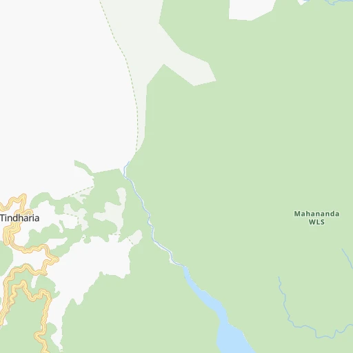
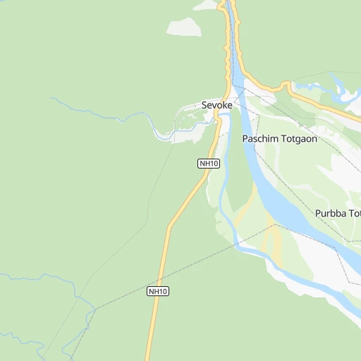
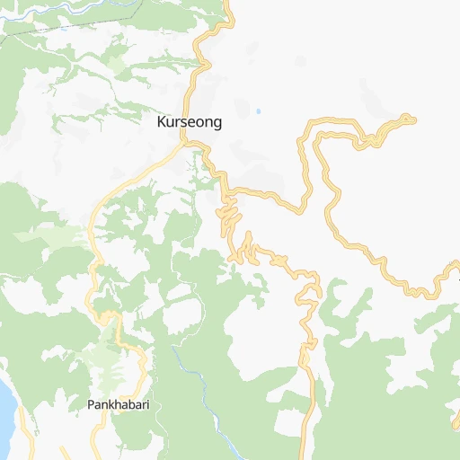
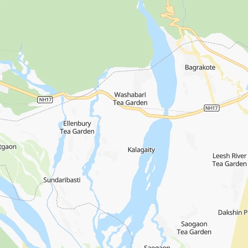
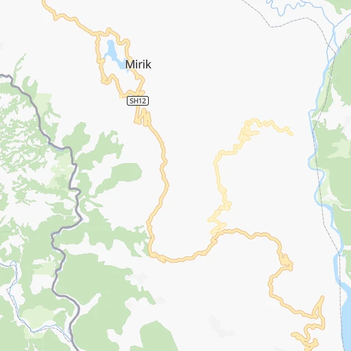
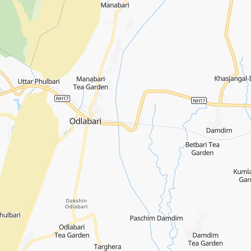
Roadmap (route) to go from Gulma Khola to Jamālpur detailed above, you can also see the course layout on the map.
While doing trip Gulma Khola - Jamālpur by car, the calculated route ends at a distance , or more straight.
Distance and duration of the route between Gulma Khola and Jamālpur
An error occured: undefined - for url https://router.cartes.cc/route?point=26.83822%2C88.43738&point=25.31258%2C86.48888&vehicle=car&debug=false&data_type=application%2Fjson&locale=en&points_encoded=true&instructions=true&elevation=false&optimize=false&timeout=10000&skip.host=true&skip.basePath=true&graphhopper_maps_host=https%3A%2F%2Fgraphhopper.com%2Fmaps%2F%3F&turn_sign_map.0=continue&turn_sign_map.1=turn%20slight%20right&turn_sign_map.2=turn%20right&turn_sign_map.3=turn%20sharp%20right&turn_sign_map.4=finish&turn_sign_map.5=reached%20via%20point&turn_sign_map.6=enter%20roundabout&turn_sign_map.-6=leave%20roundabout&turn_sign_map.-3=turn%20sharp%20left&turn_sign_map.-2=turn%20left&turn_sign_map.-1=turn%20slight%20left&key=&position=topleft
Calculation of distance and route from Jamālpur to Gulma Khola :
258.0328.2 km5h0mn
Continue 0h12mn 5.9 kmTurn sharp left 0h0mn 198 mKeep right 0h1mn 382 mContinue onto Champasari Road 0h8mn 7.6 kmTurn right onto NH10 0h4mn 5.1 kmKeep left 0h1mn 686 mTurn left onto NH27 0h2mn 2.5 kmAt roundabout, take exit 2 onto NH27 0h5mn 5.9 kmTurn right onto NH27 0h5mn 6.2 kmKeep left 0h1mn 886 mTurn left 0h3mn 1.9 kmKeep right 0h6mn 2.8 kmKeep left 0h7mn 7.2 kmTurn left 0h1mn 1.3 kmTurn sharp left 0h1mn 1.1 kmTurn right 0h3mn 3.0 kmTurn right 0h23mn 25.3 kmTurn right 0h0mn 72 mContinue onto NH27 0h7mn 7.7 kmTurn right onto Islampur Bypass 1h15mn 87.9 kmAt roundabout, take exit 1 onto NH231 0h5mn 5.9 kmKeep right onto NH231 1h55mn 64.5 kmTurn left onto MDR 0h1mn 694 mTurn right onto MDR 0h5mn 4.7 kmTurn left onto NH131B 0h11mn 13.1 kmKeep left 0h1mn 632 mTurn right onto NH33 0h3mn 3.5 kmKeep right 0h9mn 9.4 kmTurn slight left onto Sultanganj - Bhagalpur Road 0h15mn 18.0 kmAt roundabout, take exit 2 onto Bhagalpur - Munger Road 0h24mn 27.7 kmKeep left onto NH33 0h2mn 2.7 kmTurn left 0h3mn 3.3 kmTurn right 0h0mn 267 mTurn left 0h0mn 32 mArrive at destination 0h0mn 0 m
Travel from Gulma Khola (Bihar) to a selection of major cities.
Distances from Gulma Khola to biggest cities in West Bengal
- Kultali,187,942 inhabitants.550 km
- Chandannagar,180,623 inhabitants.443 km
- Baharampur,180,547 inhabitants.305 km
- Hugli,177,005 inhabitants.437 km
- Haldia,170,695 inhabitants.533 km
- Raiganj,170,252 inhabitants.140 km
- Ingraj Bazar,170,039 inhabitants.206 km
- Madhyamgram,161,126 inhabitants.462 km
- Jamuria,160,242 inhabitants.375 km
- Jaigaon,158,664 inhabitants.93 km
- Medinipur,153,349 inhabitants.504 km
- Shantipur,149,983 inhabitants.400 km
- Barakpur,148,174 inhabitants.453 km
- Krishnanagar,145,926 inhabitants.382 km
- Balurghat,141,404 inhabitants.183 km
- Habra,139,297 inhabitants.445 km
- Kanchrapara,136,954 inhabitants.432 km
- Bankura,133,966 inhabitants.424 km
- Raniganj,131,261 inhabitants.382 km
- Khardah,128,346 inhabitants.459 km
Other major cities in country :
- Gorakhpur [10], 1,324,570 inhabitants. 1,285 km
- Nashik [16], 1,289,497 inhabitants. 1,677 km
- Pimpri [16], 1,284,606 inhabitants. 1,756 km
- Kalyan [16], 1,262,255 inhabitants. 1,779 km
- Thane [16], 1,261,517 inhabitants. 1,797 km
- Meerut [36], 1,223,184 inhabitants. 1,082 km
- Nowrangapur [21], 1,220,946 inhabitants. 1,039 km
- Faridabad [10], 1,220,229 inhabitants. 1,111 km
- Ghaziabad [36], 1,199,191 inhabitants. 1,102 km
- Dombivli [16], 1,193,000 inhabitants. 1,785 km
- Rajkot [09], 1,177,362 inhabitants. 1,855 km
- Varanasi [36], 1,164,404 inhabitants. 568 km
- Amritsar [23], 1,092,450 inhabitants. 1,420 km
- Allahabad [36], 1,073,438 inhabitants. 677 km
- Visakhapatnam [02], 1,063,178 inhabitants. 1,153 km
- Teni [25], 1,034,724 inhabitants. 2,199 km
- Jabalpur [35], 1,030,168 inhabitants. 948 km
- Aurangabad [16], 1,016,441 inhabitants. 1,545 km
- Shivaji Nagar [16], 1,000,000 inhabitants. 1,758 km
- Solapur [16], 997,281 inhabitants. 1,643 km
Route from Jamālpur to major cities (India).
- Distance Jamālpur Mumbai1,564 km
- Distance Jamālpur Delhi990 km
- Distance Jamālpur Bengaluru1,661 km
- Distance Jamālpur Kolkata361 km
- Distance Jamālpur Chennai1,509 km
- Distance Jamālpur Ahmedabad1,434 km
- Distance Jamālpur Hyderabad1,213 km
- Distance Jamālpur Pune1,507 km
- Distance Jamālpur Surat1,469 km
- Distance Jamālpur Kanpur628 km
- Distance Jamālpur Jaipur1,084 km
- Distance Jamālpur Navi Mumbai1,553 km
- Distance Jamālpur Lucknow582 km
- Distance Jamālpur Nagpur888 km
- Distance Jamālpur Indore1,121 km
- Distance Jamālpur Bhopal950 km
- Distance Jamālpur Ludhiana1,215 km
- Distance Jamālpur Tirunelveli2,069 km
- Distance Jamālpur Agra871 km
- Distance Jamālpur Vadodara1,393 km
Nearest cities to Gulma Khola :
- Shiliguri, 515,574 inhabitants. 14 km
- Bhagalpur, 361,548 inhabitants. 230 km
- Darbhanga, 287,150 inhabitants. 264 km
- Bihar Sharif, 244,230 inhabitants. 344 km
- Monghyr, 203,163 inhabitants. 255 km
- Purnia, 198,453 inhabitants. 152 km
- Katihar, 192,555 inhabitants. 169 km
- Baharampur, 180,547 inhabitants. 305 km
- Raiganj, 170,252 inhabitants. 140 km
- Ingraj Bazar, 170,039 inhabitants. 206 km
- Jaigaon, 158,664 inhabitants. 93 km
- Saharsa, 145,764 inhabitants. 213 km
- Balurghat, 141,404 inhabitants. 183 km
- Darjiling, 123,797 inhabitants. 28 km
- Jalpaiguri, 107,832 inhabitants. 46 km
- Begusarai, 103,060 inhabitants. 279 km
- Jamalpur, 100,780 inhabitants. 258 km
- Nawada, 96,730 inhabitants. 362 km
- Sahibganj, 95,890 inhabitants. 195 km
- Kishanganj, 94,807 inhabitants. 95 km
- Luckeesarai, 89,500 inhabitants. 299 km
- Baruni, 84,888 inhabitants. 290 km
- Jangipur, 82,548 inhabitants. 266 km
- Koch Bihar, 78,737 inhabitants. 115 km
- Jamui, 78,181 inhabitants. 307 km
- Dhulian, 77,070 inhabitants. 245 km
- Jumri Tilaiya, 76,341 inhabitants. 396 km
- Madhubani, 71,582 inhabitants. 242 km
- Araria, 67,474 inhabitants. 120 km
- Goyerkata, 66,358 inhabitants. 60 km
- Gangarampur, 65,316 inhabitants. 160 km
- Alipur Duar, 65,232 inhabitants. 115 km
- Bongaigaon, 64,902 inhabitants. 215 km
- Siuri, 64,659 inhabitants. 339 km
- Tura, 63,645 inhabitants. 230 km
- Dhuburi, 62,525 inhabitants. 179 km
- Supaul, 60,020 inhabitants. 200 km
- Giridih, 60,000 inhabitants. 365 km
- Bangaon, 60,000 inhabitants. 220 km
- Samastipur, 57,575 inhabitants. 287 km
- Naksalbari, 57,283 inhabitants. 28 km
- Sitamarhi, 57,095 inhabitants. 294 km
- Islampur, 55,691 inhabitants. 68 km
- Mokameh, 55,203 inhabitants. 298 km
- Kandi, 54,848 inhabitants. 323 km
- Rampur Hat, 53,468 inhabitants. 303 km
- Kaliyaganj, 51,748 inhabitants. 134 km
- Goalpara, 50,759 inhabitants. 230 km
- Madhupur, 50,671 inhabitants. 338 km
- Madhipura, 50,570 inhabitants. 193 km
Location Gulma Khola (West Bengal) :
| Country flag |  |
| Location | Gulma Khola |
| State | West Bengal |
| County | Darjiling |
| Country | India |
| Country code / ISO 2 | IN |
| Latitude | 26.8382200 |
| Longitude | 88.4373800 |
| Altitude | 0 meters |
| Time zone | Asia/Kolkata |
Location Jamālpur (Bihar) :
| Country flag | |
| Location | Jamālpur |
| State | Bihar |
| County | Munger |
| Country | India |
| Country code / ISO 2 | IN |
| Latitude | 25.3125800 |
| Longitude | 86.4888800 |
| Altitude | 0 meters |
| Time zone | Asia/Kolkata |
