

How to get from Pimpla Chaure Halt (Maharashtra) to Malegaon (Maharashtra)
Calculate route from Pimpla Chaure Halt (Maharashtra, India) to Malegaon (Maharashtra, India).
The flight distance (as the crow flies) between Pimpla Chaure Halt and Malegaon is 305.6 km.
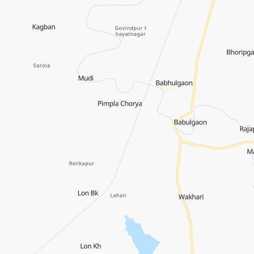
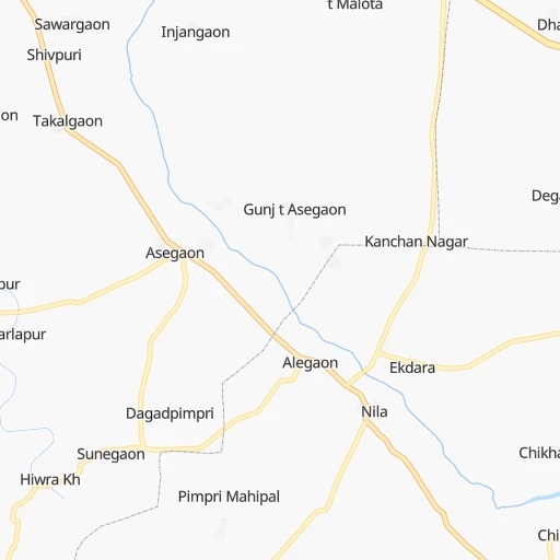
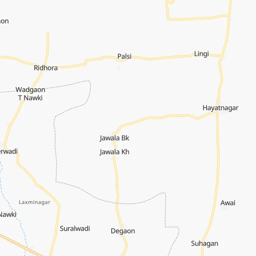
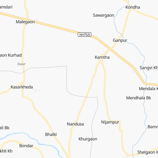
Roadmap (route) to go from Pimpla Chaure Halt to Malegaon detailed above, you can also see the course layout on the map.
While doing trip Pimpla Chaure Halt - Malegaon by car, the calculated route ends at a distance , or more straight.
Distance and duration of the route between Pimpla Chaure Halt and Malegaon
An error occured: undefined - for url https://router.cartes.cc/route?point=19.28645%2C77.13253&point=20.54966%2C74.53462&vehicle=car&debug=false&data_type=application%2Fjson&locale=en&points_encoded=true&instructions=true&elevation=false&optimize=false&timeout=10000&skip.host=true&skip.basePath=true&graphhopper_maps_host=https%3A%2F%2Fgraphhopper.com%2Fmaps%2F%3F&turn_sign_map.0=continue&turn_sign_map.1=turn%20slight%20right&turn_sign_map.2=turn%20right&turn_sign_map.3=turn%20sharp%20right&turn_sign_map.4=finish&turn_sign_map.5=reached%20via%20point&turn_sign_map.6=enter%20roundabout&turn_sign_map.-6=leave%20roundabout&turn_sign_map.-3=turn%20sharp%20left&turn_sign_map.-2=turn%20left&turn_sign_map.-1=turn%20slight%20left&key=&position=topleft
Calculation of distance and route from Malegaon to Pimpla Chaure Halt :
305.6357.4 km5h19mn
Continue 0h3mn 1.5 kmTurn left 0h4mn 4.3 kmTurn right 0h0mn 502 mTurn left 0h0mn 154 mTurn right 0h0mn 147 mTurn left 0h4mn 4.5 kmTurn left onto NH752I 0h9mn 10.1 kmTurn left onto NH752I 0h15mn 17.3 kmTurn sharp left onto NH752I 1h33mn 38.5 kmTurn right onto NH752I 0h1mn 984 mTurn sharp left onto NH752I 1h22mn 92.3 kmContinue onto SH181 0h1mn 1.6 kmAt roundabout, take exit 2 onto Aurangabad Road 0h1mn 1.1 kmAt roundabout, take exit 2 onto Aurangabad Road 0h1mn 1.1 kmAt roundabout, take exit 1 onto Aurangabad Road 0h2mn 2.1 kmContinue onto NH753H 1h51mn 58.9 kmAt roundabout, take exit 2 onto Chhatrapati Shivaji Highway 0h0mn 469 mKeep left onto NH753F 0h1mn 1.1 kmAt roundabout, take exit 4 onto Pdegone Road 0h7mn 8.1 kmKeep left onto NH752H 0h3mn 4.0 kmTurn right 0h8mn 9.0 kmKeep left onto NH752H 0h1mn 600 mTurn left onto NH752H 1h55mn 61.6 kmTurn slight left onto NH753J 0h3mn 3.7 kmTurn right onto NH753J 0h0mn 284 mTurn left onto NH753J 0h1mn 1.4 kmContinue onto State Highway 16 0h16mn 18.0 kmTurn right onto MDR23 0h8mn 8.4 kmTurn left onto MDR 90 0h2mn 2.3 kmTurn sharp right 0h1mn 878 mTurn left 0h2mn 1.5 kmContinue 0h0mn 204 mTurn sharp right 0h0mn 6 mTurn left 0h0mn 176 mContinue 0h0mn 3 mContinue 0h0mn 127 mContinue 0h0mn 5 mContinue 0h0mn 125 mTurn right 0h0mn 133 mTurn left 0h0mn 29 mArrive at destination 0h0mn 0 m
Travel from Pimpla Chaure Halt (Maharashtra) to a selection of major cities.
Distances from Pimpla Chaure Halt to biggest cities in Maharashtra
- Malegaon,435,362 inhabitants.306 km
- Jalgaon,429,298 inhabitants.252 km
- Akola,428,857 inhabitants.159 km
- Ahmadnagar,367,140 inhabitants.253 km
- Dhulia,366,980 inhabitants.305 km
- Latur,348,967 inhabitants.115 km
- Chanda,328,351 inhabitants.239 km
- Parbhani,289,629 inhabitants.38 km
- Ichalkaranji,274,383 inhabitants.404 km
- Jalna,262,034 inhabitants.145 km
- Amarnath,217,780 inhabitants.417 km
- Bhusaval,183,001 inhabitants.241 km
- Virar,150,357 inhabitants.454 km
- Yavatmal,128,175 inhabitants.162 km
- Panvel,128,046 inhabitants.424 km
- Gondia,124,897 inhabitants.401 km
- Wardha,113,759 inhabitants.223 km
- Satara,112,793 inhabitants.376 km
- Achalpur,111,278 inhabitants.223 km
- Barsi,110,983 inhabitants.192 km
Other major cities in country :
- Faridabad [10], 1,220,229 inhabitants. 1,016 km
- Ghaziabad [36], 1,199,191 inhabitants. 1,045 km
- Rajkot [09], 1,177,362 inhabitants. 740 km
- Varanasi [36], 1,164,404 inhabitants. 904 km
- Amritsar [23], 1,092,450 inhabitants. 1,392 km
- Allahabad [36], 1,073,438 inhabitants. 840 km
- Visakhapatnam [02], 1,063,178 inhabitants. 665 km
- Teni [25], 1,034,724 inhabitants. 1,033 km
- Jabalpur [35], 1,030,168 inhabitants. 522 km
- Haora [28], 1,027,672 inhabitants. 1,219 km
- Srinagar [12], 975,857 inhabitants. 1,663 km
- Chandigarh [05], 960,787 inhabitants. 1,275 km
- Coimbatore [25], 959,823 inhabitants. 922 km
- Jodhpur [24], 921,476 inhabitants. 885 km
- Madurai [25], 909,908 inhabitants. 1,048 km
- Guwahati [03], 899,094 inhabitants. 1,684 km
- Gwalior [35], 882,458 inhabitants. 780 km
- Vijayawada [02], 874,587 inhabitants. 484 km
- Mysore [19], 868,313 inhabitants. 780 km
- Ranchi [38], 846,454 inhabitants. 960 km
Route from Malegaon to major cities (India).
- Distance Malegaon Delhi942 km
- Distance Malegaon Bengaluru904 km
- Distance Malegaon Kolkata1,449 km
- Distance Malegaon Chennai1,031 km
- Distance Malegaon Ahmedabad341 km
- Distance Malegaon Hyderabad543 km
- Distance Malegaon Surat191 km
- Distance Malegaon Kanpur886 km
- Distance Malegaon Jaipur720 km
- Distance Malegaon Lucknow956 km
- Distance Malegaon Indore276 km
- Distance Malegaon Patna1,222 km
- Distance Malegaon Bhopal422 km
- Distance Malegaon Ludhiana1,161 km
- Distance Malegaon Tirunelveli1,359 km
- Distance Malegaon Agra819 km
- Distance Malegaon Vadodara238 km
- Distance Malegaon Gorakhpur997 km
- Distance Malegaon Meerut992 km
- Distance Malegaon Nowrangapur851 km
Nearest cities to Pimpla Chaure Halt :
- Hyderabad, 3,597,816 inhabitants. 254 km
- Nagpur, 2,228,018 inhabitants. 291 km
- Aurangabad, 1,016,441 inhabitants. 199 km
- Solapur, 997,281 inhabitants. 221 km
- Amravati, 603,837 inhabitants. 194 km
- Sangli, 601,214 inhabitants. 384 km
- Warangal, 557,802 inhabitants. 296 km
- Nanded, 550,564 inhabitants. 24 km
- Kolhapur, 516,142 inhabitants. 421 km
- Gulbarga, 483,615 inhabitants. 219 km
- Ramgundam, 452,261 inhabitants. 250 km
- Malegaon, 435,362 inhabitants. 306 km
- Jalgaon, 429,298 inhabitants. 252 km
- Akola, 428,857 inhabitants. 159 km
- Ahmadnagar, 367,140 inhabitants. 253 km
- Dhulia, 366,980 inhabitants. 305 km
- Punasa, 350,000 inhabitants. 337 km
- Latur, 348,967 inhabitants. 115 km
- Kukatpalli, 341,709 inhabitants. 242 km
- Chanda, 328,351 inhabitants. 239 km
- Nizamabad, 305,438 inhabitants. 123 km
- Parbhani, 289,629 inhabitants. 38 km
- Ichalkaranji, 274,383 inhabitants. 404 km
- Bijapur, 271,064 inhabitants. 312 km
- Jalna, 262,034 inhabitants. 145 km
- Lal Bahadur Nagar, 261,987 inhabitants. 263 km
- Ramagundam, 235,000 inhabitants. 253 km
- Karimnagar, 228,745 inhabitants. 230 km
- Quthbullapur, 225,816 inhabitants. 243 km
- Secunderabad, 204,182 inhabitants. 248 km
- Bidar, 204,071 inhabitants. 159 km
- Burhanpur, 202,695 inhabitants. 244 km
- Bhusaval, 183,001 inhabitants. 241 km
- Khandwa, 182,841 inhabitants. 294 km
- Serilingampalle, 150,525 inhabitants. 235 km
- Malkajgiri, 150,000 inhabitants. 252 km
- Mahbubnagar, 136,135 inhabitants. 297 km
- Chhindwara, 134,847 inhabitants. 361 km
- Yavatmal, 128,175 inhabitants. 162 km
- Nalgonda, 121,826 inhabitants. 336 km
- Adilabad, 118,526 inhabitants. 153 km
- Uppal Kalan, 118,259 inhabitants. 258 km
- Wardha, 113,759 inhabitants. 223 km
- Suriapet, 111,729 inhabitants. 355 km
- Achalpur, 111,278 inhabitants. 223 km
- Barsi, 110,983 inhabitants. 192 km
- Seoni, 101,379 inhabitants. 401 km
- Mirialguda, 101,234 inhabitants. 372 km
- Udgir, 101,064 inhabitants. 100 km
- Nandurbar, 100,703 inhabitants. 380 km
Location Pimpla Chaure Halt (Maharashtra) :
| Country flag |  |
| Location | Pimpla Chaure Halt |
| State | Maharashtra |
| County | Hingoli |
| Country | India |
| Country code / ISO 2 | IN |
| Latitude | 19.2864500 |
| Longitude | 77.1325300 |
| Altitude | 0 meters |
| Time zone | Asia/Kolkata |
Location Malegaon (Maharashtra) :
| Country flag | |
| Location | Malegaon |
| State | Maharashtra |
| County | Nashik Division |
| Country | India |
| Country code / ISO 2 | IN |
| Latitude | 20.5496600 |
| Longitude | 74.5346200 |
| Altitude | 0 meters |
| Time zone | Asia/Kolkata |

