
How to get from Ambari Falakata (West Bengal) to Koch Bihār (West Bengal)
Calculate route from Ambari Falakata (West Bengal, India) to Koch Bihār (West Bengal, India).
The flight distance (as the crow flies) between Ambari Falakata and Koch Bihār is 99.4 km.
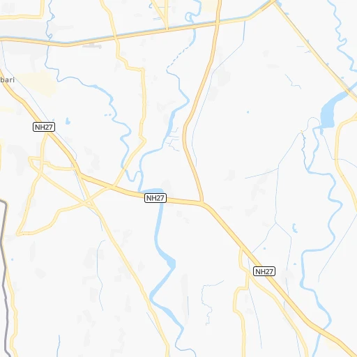
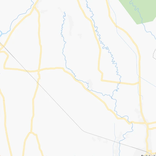
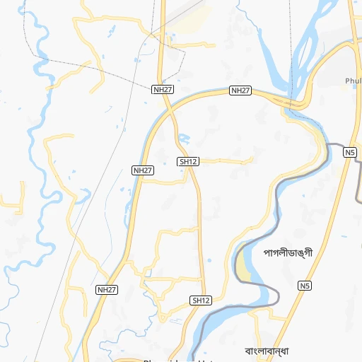
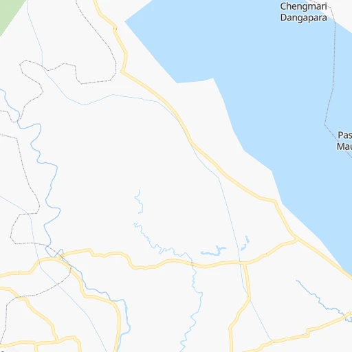
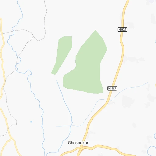
Roadmap (route) to go from Ambari Falakata to Koch Bihār detailed above, you can also see the course layout on the map.
While doing trip Ambari Falakata - Koch Bihār by car, the calculated route ends at a distance , or more straight.
Distance and duration of the route between Ambari Falakata and Koch Bihār
An error occured: undefined - for url https://router.cartes.cc/route?point=26.64155%2C88.51059&point=26.32539%2C89.44508&vehicle=car&debug=false&data_type=application%2Fjson&locale=en&points_encoded=true&instructions=true&elevation=false&optimize=false&timeout=10000&skip.host=true&skip.basePath=true&graphhopper_maps_host=https%3A%2F%2Fgraphhopper.com%2Fmaps%2F%3F&turn_sign_map.0=continue&turn_sign_map.1=turn%20slight%20right&turn_sign_map.2=turn%20right&turn_sign_map.3=turn%20sharp%20right&turn_sign_map.4=finish&turn_sign_map.5=reached%20via%20point&turn_sign_map.6=enter%20roundabout&turn_sign_map.-6=leave%20roundabout&turn_sign_map.-3=turn%20sharp%20left&turn_sign_map.-2=turn%20left&turn_sign_map.-1=turn%20slight%20left&key=&position=topleft
Calculation of distance and route from Koch Bihār to Ambari Falakata :
99.4122.7 km2h55mn
Continue 0h2mn 980 mTurn right 0h2mn 986 mTurn right 0h0mn 147 mTurn sharp left 0h2mn 908 mTurn slight right 0h3mn 2.8 kmTurn left 0h0mn 140 mTurn right 0h3mn 2.7 kmTurn right 0h1mn 976 mTurn left onto NH27 0h16mn 18.4 kmKeep right onto NH27 0h8mn 8.9 kmTurn left 0h5mn 3.8 kmTurn left 0h0mn 209 mAt roundabout, take exit 2 0h2mn 1.7 kmKeep left 0h15mn 17.8 kmTurn right onto NH27 0h18mn 20.7 kmTurn right 0h3mn 2.6 kmTurn right 0h23mn 25.7 kmTurn right onto NH17 0h9mn 10.5 kmKeep right 0h0mn 85 mContinue onto SH12A 0h2mn 2.1 kmTurn left onto Nripendra Narayan Road 0h0mn 319 mTurn right onto Biswa Singha Road 0h0mn 123 mTurn right 0h0mn 21 mArrive at destination 0h0mn 0 m
Travel from Ambari Falakata (West Bengal) to a selection of major cities.
Distances from Ambari Falakata to biggest cities in West Bengal
- Kultali,187,942 inhabitants.528 km
- Chandannagar,180,623 inhabitants.421 km
- Baharampur,180,547 inhabitants.284 km
- Hugli,177,005 inhabitants.416 km
- Haldia,170,695 inhabitants.512 km
- Raiganj,170,252 inhabitants.121 km
- Ingraj Bazar,170,039 inhabitants.186 km
- Madhyamgram,161,126 inhabitants.440 km
- Jamuria,160,242 inhabitants.357 km
- Jaigaon,158,664 inhabitants.89 km
- Medinipur,153,349 inhabitants.485 km
- Shantipur,149,983 inhabitants.378 km
- Barakpur,148,174 inhabitants.432 km
- Krishnanagar,145,926 inhabitants.360 km
- Balurghat,141,404 inhabitants.160 km
- Habra,139,297 inhabitants.423 km
- Kanchrapara,136,954 inhabitants.410 km
- Bankura,133,966 inhabitants.406 km
- Raniganj,131,261 inhabitants.364 km
- Khardah,128,346 inhabitants.437 km
Other major cities in country :
- Gorakhpur [10], 1,324,570 inhabitants. 1,299 km
- Nashik [16], 1,289,497 inhabitants. 1,675 km
- Pimpri [16], 1,284,606 inhabitants. 1,753 km
- Kalyan [16], 1,262,255 inhabitants. 1,776 km
- Thane [16], 1,261,517 inhabitants. 1,794 km
- Meerut [36], 1,223,184 inhabitants. 1,095 km
- Nowrangapur [21], 1,220,946 inhabitants. 1,026 km
- Faridabad [10], 1,220,229 inhabitants. 1,122 km
- Ghaziabad [36], 1,199,191 inhabitants. 1,114 km
- Dombivli [16], 1,193,000 inhabitants. 1,782 km
- Rajkot [09], 1,177,362 inhabitants. 1,857 km
- Varanasi [36], 1,164,404 inhabitants. 570 km
- Amritsar [23], 1,092,450 inhabitants. 1,436 km
- Allahabad [36], 1,073,438 inhabitants. 680 km
- Visakhapatnam [02], 1,063,178 inhabitants. 1,137 km
- Teni [25], 1,034,724 inhabitants. 2,185 km
- Jabalpur [35], 1,030,168 inhabitants. 947 km
- Aurangabad [16], 1,016,441 inhabitants. 1,541 km
- Shivaji Nagar [16], 1,000,000 inhabitants. 1,754 km
- Solapur [16], 997,281 inhabitants. 1,637 km
Route from Koch Bihār to major cities (India).
- Distance Koch Bihār Mumbai1,880 km
- Distance Koch Bihār Delhi1,233 km
- Distance Koch Bihār Bengaluru1,935 km
- Distance Koch Bihār Chennai1,757 km
- Distance Koch Bihār Ahmedabad1,743 km
- Distance Koch Bihār Hyderabad1,508 km
- Distance Koch Bihār Pune1,822 km
- Distance Koch Bihār Surat1,785 km
- Distance Koch Bihār Kanpur907 km
- Distance Koch Bihār Jaipur1,360 km
- Distance Koch Bihār Navi Mumbai1,870 km
- Distance Koch Bihār Lucknow850 km
- Distance Koch Bihār Nagpur1,202 km
- Distance Koch Bihār Indore1,435 km
- Distance Koch Bihār Patna439 km
- Distance Koch Bihār Bhopal1,263 km
- Distance Koch Bihār Ludhiana1,422 km
- Distance Koch Bihār Tirunelveli2,319 km
- Distance Koch Bihār Agra1,140 km
- Distance Koch Bihār Vadodara1,706 km
Nearest cities to Ambari Falakata :
- Shiliguri, 515,574 inhabitants. 11 km
- Asansol, 504,271 inhabitants. 363 km
- Bokaro, 418,533 inhabitants. 409 km
- Bhagalpur, 361,548 inhabitants. 219 km
- Kulti, 305,405 inhabitants. 365 km
- Darbhanga, 287,150 inhabitants. 266 km
- Bihar Sharif, 244,230 inhabitants. 339 km
- Dhanbad, 219,636 inhabitants. 378 km
- Agartala, 203,264 inhabitants. 419 km
- Monghyr, 203,163 inhabitants. 248 km
- Purnia, 198,453 inhabitants. 141 km
- Katihar, 192,555 inhabitants. 155 km
- Baharampur, 180,547 inhabitants. 284 km
- Raiganj, 170,252 inhabitants. 121 km
- Ingraj Bazar, 170,039 inhabitants. 186 km
- Jamuria, 160,242 inhabitants. 357 km
- Jaigaon, 158,664 inhabitants. 89 km
- Saharsa, 145,764 inhabitants. 209 km
- Balurghat, 141,404 inhabitants. 160 km
- Darjiling, 123,797 inhabitants. 50 km
- Jalpaiguri, 107,832 inhabitants. 26 km
- Begusarai, 103,060 inhabitants. 274 km
- Jamalpur, 100,780 inhabitants. 251 km
- Nawada, 96,730 inhabitants. 356 km
- Sahibganj, 95,890 inhabitants. 179 km
- Kishanganj, 94,807 inhabitants. 82 km
- Luckeesarai, 89,500 inhabitants. 292 km
- Jharia, 86,938 inhabitants. 386 km
- Baruni, 84,888 inhabitants. 285 km
- Jangipur, 82,548 inhabitants. 246 km
- Koch Bihar, 78,737 inhabitants. 100 km
- Katoya, 78,408 inhabitants. 336 km
- Jamui, 78,181 inhabitants. 298 km
- Dhulian, 77,070 inhabitants. 225 km
- Jumri Tilaiya, 76,341 inhabitants. 387 km
- Madhubani, 71,582 inhabitants. 245 km
- Bolpur, 70,998 inhabitants. 342 km
- Araria, 67,474 inhabitants. 114 km
- Goyerkata, 66,358 inhabitants. 52 km
- Gangarampur, 65,316 inhabitants. 138 km
- Alipur Duar, 65,232 inhabitants. 102 km
- Bongaigaon, 64,902 inhabitants. 205 km
- Siuri, 64,659 inhabitants. 320 km
- Tura, 63,645 inhabitants. 211 km
- Dhuburi, 62,525 inhabitants. 163 km
- Supaul, 60,020 inhabitants. 200 km
- Giridih, 60,000 inhabitants. 352 km
- Bangaon, 60,000 inhabitants. 217 km
- Samastipur, 57,575 inhabitants. 286 km
- Katras, 57,349 inhabitants. 387 km
Location Ambari Falakata (West Bengal) :
| Country flag |  |
| Location | Ambari Falakata |
| State | West Bengal |
| County | Jalpāiguri |
| Country | India |
| Country code / ISO 2 | IN |
| Latitude | 26.6415500 |
| Longitude | 88.5105900 |
| Altitude | 0 meters |
| Time zone | Asia/Kolkata |
Location Koch Bihār (West Bengal) :
| Country flag | |
| Location | Koch Bihār |
| State | West Bengal |
| County | Koch Bihār |
| Country | India |
| Country code / ISO 2 | IN |
| Latitude | 26.3253900 |
| Longitude | 89.4450800 |
| Altitude | 0 meters |
| Time zone | Asia/Kolkata |

