

How to get from Jarapada (Odisha) to Arāmbāgh (West Bengal)
Calculate route from Jarapada (Odisha, India) to Arāmbāgh (West Bengal, India).
The flight distance (as the crow flies) between Jarapada and Arāmbāgh is 372.1 km.
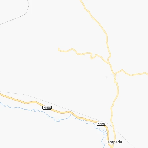
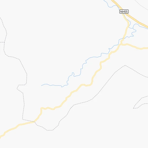
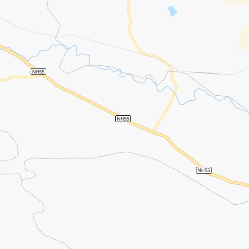
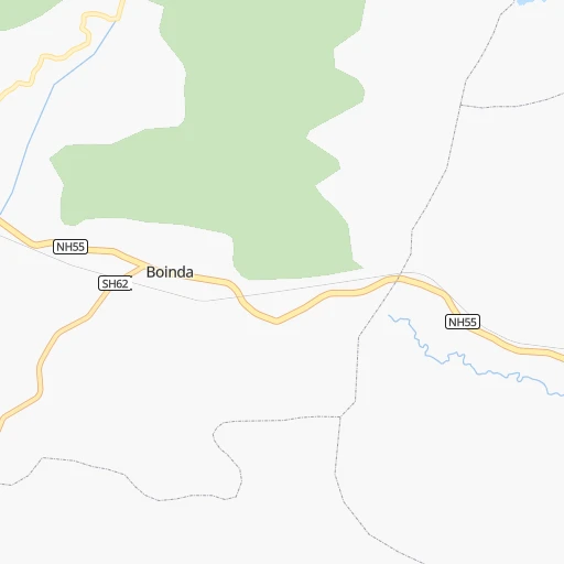
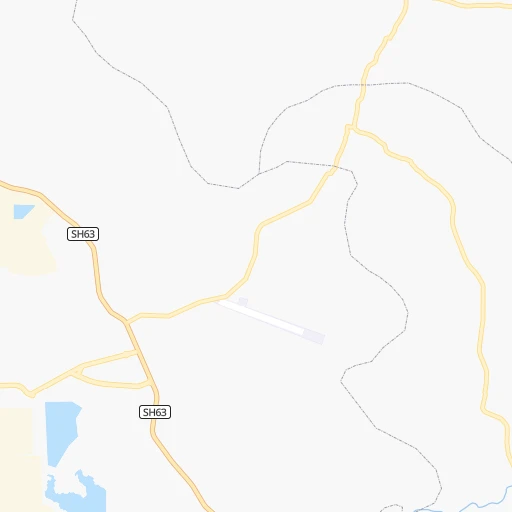
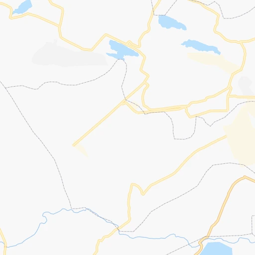
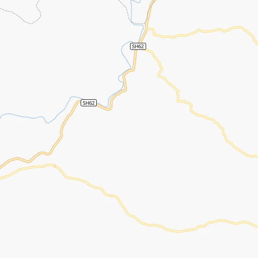
Roadmap (route) to go from Jarapada to Arāmbāgh detailed above, you can also see the course layout on the map.
While doing trip Jarapada - Arāmbāgh by car, the calculated route ends at a distance , or more straight.
Distance and duration of the route between Jarapada and Arāmbāgh
Calculation of distance and route from Arāmbāgh to Jarapada :
372.1482.4 km7h19mn
Continue 0h1mn 721 mTurn left onto NH55 1h33mn 38.8 kmTurn left onto NH149 0h8mn 8.9 kmTurn right onto NH53 0h30mn 34.9 kmTurn sharp right onto NH53 0h0mn 373 mTurn sharp left 0h2mn 2.2 kmKeep left 0h3mn 2.9 kmTurn left onto NH53 0h0mn 14 mTurn right onto NH53 1h45mn 52.4 kmKeep right onto NH53 0h0mn 46 mKeep left onto SH20 0h4mn 4.5 kmKeep left onto SH20 0h5mn 6.0 kmKeep right 0h0mn 31 mKeep left 0h4mn 4.9 kmKeep right 0h2mn 1.6 kmContinue 0h3mn 2.9 kmTurn right onto NH20 0h6mn 6.8 kmTurn left onto NH20 0h3mn 3.4 kmKeep right onto NH16 0h29mn 33.2 kmKeep left 2h14mn 150.1 kmTurn left 0h2mn 2.1 kmTurn slight left onto SH5 0h1mn 562 mContinue 0h1mn 1.1 kmTurn left onto NH16 0h6mn 6.5 kmKeep left 0h5mn 5.2 kmTurn left onto NH16 0h4mn 4.5 kmKeep left 0h0mn 294 mTurn slight left 0h13mn 14.7 kmAt roundabout, take exit 2 onto Kharagpur City Road 0h0mn 194 mTurn slight left onto Kharagpur City Road 0h3mn 3.3 kmAt roundabout, take exit 2 onto NH14 0h5mn 6.4 kmAt roundabout, take exit 3 onto NH116A 1h35mn 40.5 kmTurn right 0h2mn 991 mTurn slight right onto SH4 0h0mn 28 mTurn left 0h2mn 960 mTurn right 0h0mn 10 mTurn left 0h9mn 4.7 kmTurn sharp right 0h12mn 5.9 kmTurn left onto NH116A 0h7mn 8.0 kmTurn left onto NH116A 0h7mn 7.8 kmTurn right onto NH116A 0h11mn 13.0 kmKeep right onto NH116A 0h0mn 447 mTurn right 0h1mn 440 mArrive at destination 0h0mn 0 m
Travel from Jarapada (West Bengal) to a selection of major cities.
Distances from Jarapada to biggest cities in Odisha
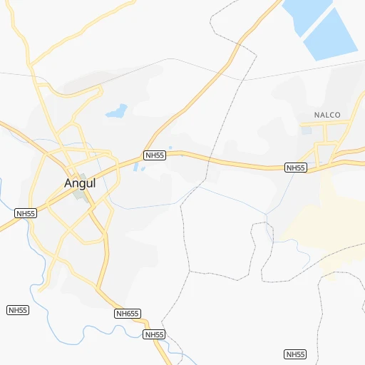
- Angul,44,386 inhabitants.23 km
- Kendraparha,43,843 inhabitants.165 km
- Khurda,42,526 inhabitants.109 km
- Jajpur,42,157 inhabitants.151 km
- Sundargarh,41,705 inhabitants.163 km
- Koraput,41,170 inhabitants.324 km
- Burla,40,816 inhabitants.126 km
- Talcher,38,436 inhabitants.37 km
- Phulbani,36,613 inhabitants.82 km
- Patamundai,34,400 inhabitants.178 km
- Jagatsinghapur,32,945 inhabitants.151 km
- Basudebpur,31,827 inhabitants.193 km
- Remuna,30,319 inhabitants.218 km
- Soro,29,797 inhabitants.192 km
- Titlagarh,28,405 inhabitants.193 km
- Birmitrapur,27,879 inhabitants.169 km
- Hirakud,27,277 inhabitants.127 km
- Malakanagiri,25,054 inhabitants.421 km
- Jaleshwar,23,280 inhabitants.263 km
- Kuchaiburi,23,072 inhabitants.203 km
Other major cities in country :
- Vadodara [09], 1,409,476 inhabitants. 1,219 km
- Gorakhpur [10], 1,324,570 inhabitants. 1,330 km
- Nashik [16], 1,289,497 inhabitants. 1,161 km
- Pimpri [16], 1,284,606 inhabitants. 1,188 km
- Kalyan [16], 1,262,255 inhabitants. 1,242 km
- Thane [16], 1,261,517 inhabitants. 1,261 km
- Meerut [36], 1,223,184 inhabitants. 1,156 km
- Faridabad [10], 1,220,229 inhabitants. 1,135 km
- Ghaziabad [36], 1,199,191 inhabitants. 1,147 km
- Dombivli [16], 1,193,000 inhabitants. 1,248 km
- Rajkot [09], 1,177,362 inhabitants. 1,467 km
- Varanasi [36], 1,164,404 inhabitants. 529 km
- Amritsar [23], 1,092,450 inhabitants. 1,556 km
- Allahabad [36], 1,073,438 inhabitants. 596 km
- Visakhapatnam [02], 1,063,178 inhabitants. 398 km
- Teni [25], 1,034,724 inhabitants. 1,447 km
- Jabalpur [35], 1,030,168 inhabitants. 569 km
- Haora [28], 1,027,672 inhabitants. 402 km
- Aurangabad [16], 1,016,441 inhabitants. 1,002 km
- Shivaji Nagar [16], 1,000,000 inhabitants. 1,185 km
Route from Arāmbāgh to major cities (India).
- Distance Arāmbāgh Mumbai1,605 km
- Distance Arāmbāgh Delhi1,237 km
- Distance Arāmbāgh Bengaluru1,542 km
- Distance Arāmbāgh Chennai1,348 km
- Distance Arāmbāgh Ahmedabad1,557 km
- Distance Arāmbāgh Hyderabad1,151 km
- Distance Arāmbāgh Pune1,529 km
- Distance Arāmbāgh Surat1,554 km
- Distance Arāmbāgh Kanpur851 km
- Distance Arāmbāgh Jaipur1,291 km
- Distance Arāmbāgh Navi Mumbai1,593 km
- Distance Arāmbāgh Lucknow821 km
- Distance Arāmbāgh Nagpur918 km
- Distance Arāmbāgh Indore1,226 km
- Distance Arāmbāgh Patna404 km
- Distance Arāmbāgh Bhopal1,064 km
- Distance Arāmbāgh Ludhiana1,482 km
- Distance Arāmbāgh Tirunelveli1,909 km
- Distance Arāmbāgh Agra1,095 km
- Distance Arāmbāgh Vadodara1,499 km
Nearest cities to Jarapada :
- Nowrangapur, 1,220,946 inhabitants. 306 km
- Ranchi, 846,454 inhabitants. 277 km
- Bhubaneshwar, 762,243 inhabitants. 120 km
- Jamshedpur, 616,338 inhabitants. 252 km
- Cuttack, 580,000 inhabitants. 113 km
- Raurkela, 536,450 inhabitants. 149 km
- Durgapur, 518,872 inhabitants. 385 km
- Asansol, 504,271 inhabitants. 379 km
- Korba, 419,146 inhabitants. 279 km
- Bokaro, 418,533 inhabitants. 341 km
- Brahmapur, 324,726 inhabitants. 175 km
- Kulti, 305,405 inhabitants. 375 km
- Barddhaman, 301,725 inhabitants. 404 km
- Bilaspur, 282,705 inhabitants. 313 km
- Kharagpur, 219,665 inhabitants. 300 km
- Dhanbad, 219,636 inhabitants. 362 km
- Vizianagaram, 179,358 inhabitants. 345 km
- Puri, 170,841 inhabitants. 156 km
- Sambalpur, 162,887 inhabitants. 115 km
- Jamuria, 160,242 inhabitants. 387 km
- Medinipur, 153,349 inhabitants. 304 km
- Bankura, 133,966 inhabitants. 345 km
- Raniganj, 131,261 inhabitants. 382 km
- Puruliya, 122,533 inhabitants. 312 km
- Raigarh, 121,278 inhabitants. 191 km
- Chicacole, 118,299 inhabitants. 306 km
- Balasore, 114,321 inhabitants. 223 km
- Chas, 112,141 inhabitants. 333 km
- Bhadrakh, 98,648 inhabitants. 170 km
- Balangir, 91,241 inhabitants. 147 km
- Contai, 88,702 inhabitants. 313 km
- Jharia, 86,938 inhabitants. 355 km
- Paradip Garh, 85,868 inhabitants. 190 km
- Ramgarh, 83,833 inhabitants. 312 km
- Jeypore, 80,837 inhabitants. 331 km
- Jharsugra, 79,492 inhabitants. 141 km
- Brajarajnagar, 79,421 inhabitants. 145 km
- Jagdalpur, 76,465 inhabitants. 361 km
- Ambikapur, 72,821 inhabitants. 304 km
- Bolpur, 70,998 inhabitants. 423 km
- Bargarh, 68,670 inhabitants. 141 km
- Chaibasa, 66,252 inhabitants. 208 km
- Palasa, 65,833 inhabitants. 240 km
- Bhawanipatna, 64,468 inhabitants. 210 km
- Bishnupur, 64,041 inhabitants. 350 km
- Dhenkanal, 62,230 inhabitants. 78 km
- Arambagh, 60,639 inhabitants. 373 km
- Jhargram, 57,796 inhabitants. 279 km
- Katras, 57,349 inhabitants. 355 km
- Bada Barabil, 56,870 inhabitants. 146 km
Location Jarapada (Odisha) :
| Country flag |  |
| Location | Jarapada |
| State | Odisha |
| County | Angul District |
| Country | India |
| Country code / ISO 2 | IN |
| Latitude | 20.8850900 |
| Longitude | 84.8876000 |
| Altitude | 0 meters |
| Time zone | Asia/Kolkata |
Location Arāmbāgh (West Bengal) :
| Country flag | |
| Location | Arāmbāgh |
| State | West Bengal |
| County | Hugli |
| Country | India |
| Country code / ISO 2 | IN |
| Latitude | 22.8833300 |
| Longitude | 87.7833300 |
| Altitude | 0 meters |
| Time zone | Asia/Kolkata |