
How to get from Naqadeh (Āz̄ārbāyjān-e Gharbī) to Ahar (East Azerbaijan)
Calculate route from Naqadeh (Āz̄ārbāyjān-e Gharbī, Iran) to Ahar (East Azerbaijan, Iran).
The flight distance (as the crow flies) between Naqadeh and Ahar is 224.6 km.
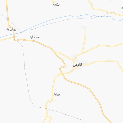
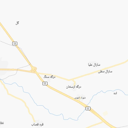
Roadmap (route) to go from Naqadeh to Ahar detailed above, you can also see the course layout on the map.
While doing trip Naqadeh - Ahar by car, the calculated route ends at a distance , or more straight.
Distance and duration of the route between Naqadeh and Ahar
An error occured: undefined - for url https://router.cartes.cc/route?point=36.9553%2C45.388&point=38.4774%2C47.0699&vehicle=car&debug=false&data_type=application%2Fjson&locale=en&points_encoded=true&instructions=true&elevation=false&optimize=false&timeout=10000&skip.host=true&skip.basePath=true&graphhopper_maps_host=https%3A%2F%2Fgraphhopper.com%2Fmaps%2F%3F&turn_sign_map.0=continue&turn_sign_map.1=turn%20slight%20right&turn_sign_map.2=turn%20right&turn_sign_map.3=turn%20sharp%20right&turn_sign_map.4=finish&turn_sign_map.5=reached%20via%20point&turn_sign_map.6=enter%20roundabout&turn_sign_map.-6=leave%20roundabout&turn_sign_map.-3=turn%20sharp%20left&turn_sign_map.-2=turn%20left&turn_sign_map.-1=turn%20slight%20left&key=&position=topleft
Calculation of distance and route from Ahar to Naqadeh :
224.6334.6 km4h50mn
Continue onto قالا باشی 0h0mn 344 mTurn sharp left 0h0mn 87 mContinue onto کوچه شهید احمد علی زینالی 0h0mn 40 mTurn slight left onto مسافری 0h0mn 151 mTurn right onto خیابان امام خمینی 0h1mn 428 mAt roundabout, take exit 2 onto شهدا ۱ 0h1mn 767 mAt roundabout, take exit 2 onto شهدا ۲ 0h1mn 876 mAt roundabout, take exit 1 onto بلوار حسنی 0h14mn 18.5 kmTurn left onto ارومیه - مهاباد 1h43mn 60.8 kmKeep right onto کنارگذر بزرگراه خاتم الانبیا 0h5mn 5.8 kmKeep right 0h0mn 362 mKeep right onto شهید کلانتری toward 16 0h24mn 39.9 kmContinue onto شهید کلانتری 1h43mn 65.1 kmAt roundabout, take exit 2 onto امام خمینی 0h0mn 494 mAt roundabout, take exit 2 onto امام خمینی 0h1mn 741 mAt roundabout, take exit 2 onto بزرگراه شهید شفیع زاده 0h16mn 24.4 kmKeep right 0h12mn 16.3 kmKeep right onto بزرگراه شهید کسایی 0h1mn 1.9 kmKeep right onto 16 0h0mn 277 mKeep right onto 16 0h4mn 4.9 kmKeep right onto 14 0h0mn 210 mKeep left onto 14 1h59mn 89.6 kmAt roundabout, take exit 2 onto بلوار جمهوری اسلامی 0h1mn 1.2 kmAt roundabout, take exit 1 onto خیابان رجایی 0h0mn 286 mKeep left 0h0mn 196 mAt roundabout, take exit 1 onto شیخ شهاب الدین 0h0mn 205 mTurn right onto راسته مسجد سفید غربی 0h1mn 386 mTurn right onto خیابان حزب الله 0h0mn 133 mTurn left onto حزب الله۳ 0h0mn 79 mTurn left onto حزب الله۳ 0h0mn 40 mTurn left 0h0mn 8 mArrive at destination 0h0mn 0 m
Travel from Naqadeh (East Azerbaijan) to a selection of major cities.
Distances from Naqadeh to biggest cities in Āz̄ārbāyjān-e Gharbī
Other major cities in country :
- Zanjan [36], 357,471 inhabitants. 279 km
- Bandar Abbas [11], 352,173 inhabitants. 1,494 km
- Sanandaj [16], 349,176 inhabitants. 233 km
- Qazvin [38], 333,635 inhabitants. 419 km
- Khorramshahr [15], 330,606 inhabitants. 770 km
- Khorramabad [23], 329,825 inhabitants. 471 km
- Khomeyni Shahr [28], 277,334 inhabitants. 736 km
- Sari [35], 255,396 inhabitants. 685 km
- Borujerd [23], 251,958 inhabitants. 457 km
- Qarchak [26], 251,834 inhabitants. 581 km
- Gorgan [37], 244,937 inhabitants. 806 km
- Sabzevar [42], 226,183 inhabitants. 1,101 km
- Najafabad [28], 223,450 inhabitants. 728 km
- Neyshabur [42], 220,929 inhabitants. 1,200 km
- Nazarabad [44], 213,388 inhabitants. 480 km
- Sirjan [29], 207,645 inhabitants. 1,270 km
- Babol [35], 202,796 inhabitants. 652 km
- Amol [35], 199,382 inhabitants. 624 km
- Birjand [41], 196,982 inhabitants. 1,341 km
- Bojnurd [43], 192,041 inhabitants. 1,059 km
Route from Ahar to major cities (Iran).
- Distance Ahar Tehran495 km
- Distance Ahar Mashhad1,130 km
- Distance Ahar Isfahan771 km
- Distance Ahar Karaj456 km
- Distance Ahar Shiraz1,108 km
- Distance Ahar Qom546 km
- Distance Ahar Ahvaz810 km
- Distance Ahar Pasragad Branch430 km
- Distance Ahar Kahriz456 km
- Distance Ahar Kermanshah463 km
- Distance Ahar Rasht259 km
- Distance Ahar Kerman1,294 km
- Distance Ahar Orumiyeh203 km
- Distance Ahar Zahedan1,616 km
- Distance Ahar Hamadan429 km
- Distance Ahar Azadshahr432 km
- Distance Ahar Arak542 km
- Distance Ahar Yazd988 km
- Distance Ahar Ardabil110 km
- Distance Ahar Abadan913 km
Nearest cities to Naqadeh :
- Tabriz, 1,424,641 inhabitants. 148 km
- Kahriz, 766,706 inhabitants. 324 km
- Kermanshah, 621,100 inhabitants. 331 km
- Orumiyeh, 577,307 inhabitants. 72 km
- Ardabil, 410,753 inhabitants. 294 km
- Sanandaj, 349,176 inhabitants. 233 km
- Bukan, 213,331 inhabitants. 88 km
- Khowy, 175,370 inhabitants. 182 km
- Mahabad, 162,434 inhabitants. 37 km
- Saqqez, 151,237 inhabitants. 111 km
- Miandoab, 132,819 inhabitants. 64 km
- Marand, 124,191 inhabitants. 168 km
- Baneh, 104,799 inhabitants. 116 km
- Parsabad, 101,661 inhabitants. 372 km
- Ahar, 94,348 inhabitants. 225 km
- Marivan, 91,664 inhabitants. 175 km
- Qorveh, 87,953 inhabitants. 295 km
- Salmas, 81,606 inhabitants. 149 km
- Bonab, 80,359 inhabitants. 73 km
- Nahavand, 76,250 inhabitants. 410 km
- Nurabad, 73,528 inhabitants. 397 km
- Naqadeh, 73,528 inhabitants. 0 km
- Piranshahr, 61,973 inhabitants. 36 km
- Kamyaran, 61,642 inhabitants. 278 km
- Asadabad, 59,617 inhabitants. 345 km
- Harsin, 57,647 inhabitants. 359 km
- Bijar, 53,871 inhabitants. 233 km
- Kangavar, 53,414 inhabitants. 359 km
- Sarpol-e Zahab, 51,611 inhabitants. 281 km
- Takab, 51,541 inhabitants. 166 km
- Oshnaviyeh, 50,661 inhabitants. 27 km
- Sonqor, 43,174 inhabitants. 314 km
- Shahin Dezh, 41,442 inhabitants. 109 km
- Javanrud, 38,657 inhabitants. 261 km
- Qarah Zia' od Din, 31,947 inhabitants. 218 km
- `Ajab Shir, 29,675 inhabitants. 73 km
- Paveh, 17,779 inhabitants. 230 km
- Hashtrud, 16,888 inhabitants. 158 km
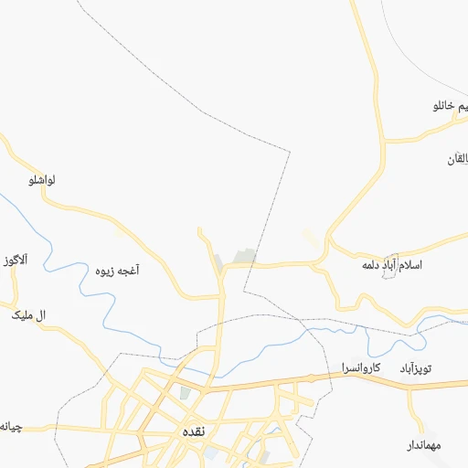
Location Naqadeh (Āz̄ārbāyjān-e Gharbī) :
| Country flag |  |
| Location | Naqadeh |
| State | Āz̄ārbāyjān-e Gharbī |
| County | |
| Country | Iran |
| Country code / ISO 2 | IR |
| Latitude | 36.9553000 |
| Longitude | 45.3880000 |
| Altitude | 0 meters |
| Time zone | Asia/Tehran |
Location Ahar (East Azerbaijan) :
| Country flag | |
| Location | Ahar |
| State | East Azerbaijan |
| County | |
| Country | Iran |
| Country code / ISO 2 | IR |
| Latitude | 38.4774000 |
| Longitude | 47.0699000 |
| Altitude | 0 meters |
| Time zone | Asia/Tehran |