
How to get from Madanapalle Road (Andhra Pradesh) to Narasaraopet (Andhra Pradesh)
Calculate route from Madanapalle Road (Andhra Pradesh, India) to Narasaraopet (Andhra Pradesh, India).
The flight distance (as the crow flies) between Madanapalle Road and Narasaraopet is 329.4 km.
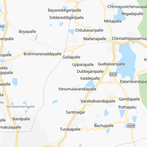
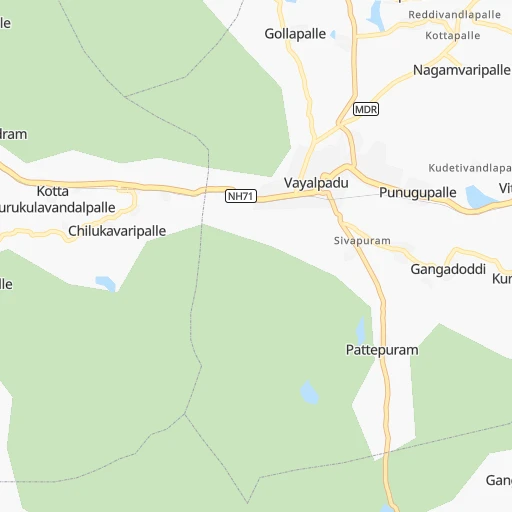
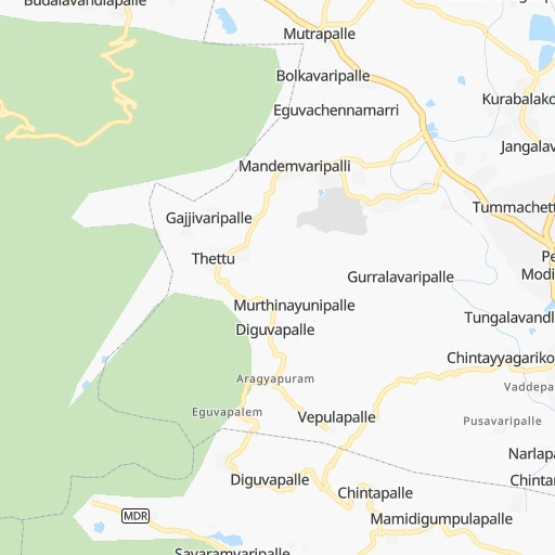
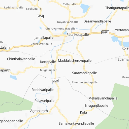
Roadmap (route) to go from Madanapalle Road to Narasaraopet detailed above, you can also see the course layout on the map.
While doing trip Madanapalle Road - Narasaraopet by car, the calculated route ends at a distance , or more straight.
Distance and duration of the route between Madanapalle Road and Narasaraopet
An error occured: undefined - for url https://router.cartes.cc/route?point=13.64516%2C78.55573&point=16.23488%2C80.04927&vehicle=car&debug=false&data_type=application%2Fjson&locale=en&points_encoded=true&instructions=true&elevation=false&optimize=false&timeout=10000&skip.host=true&skip.basePath=true&graphhopper_maps_host=https%3A%2F%2Fgraphhopper.com%2Fmaps%2F%3F&turn_sign_map.0=continue&turn_sign_map.1=turn%20slight%20right&turn_sign_map.2=turn%20right&turn_sign_map.3=turn%20sharp%20right&turn_sign_map.4=finish&turn_sign_map.5=reached%20via%20point&turn_sign_map.6=enter%20roundabout&turn_sign_map.-6=leave%20roundabout&turn_sign_map.-3=turn%20sharp%20left&turn_sign_map.-2=turn%20left&turn_sign_map.-1=turn%20slight%20left&key=&position=topleft
Calculation of distance and route from Narasaraopet to Madanapalle Road :
329.4407.8 km6h60mn
Continue 0h0mn 48 mTurn slight left 0h1mn 493 mTurn slight left 0h0mn 109 mTurn left 0h0mn 25 mTurn slight left onto MDR 0h0mn 423 mTurn left onto NH71 0h7mn 8.0 kmTurn left 0h7mn 6.6 kmKeep right onto MDR 0h5mn 5.5 kmKeep right onto MDR 0h12mn 12.2 kmTurn left onto Kalakada - Kalikiri - Somala Road 0h4mn 4.7 kmTurn slight left onto NH40 0h23mn 27.3 kmAt roundabout, take exit 2 0h6mn 6.8 kmTurn slight left 0h0mn 25 mKeep left onto NH40 1h37mn 43.3 kmAt roundabout, take exit 1 onto NH40 0h4mn 5.1 kmAt roundabout, take exit 2 onto NH40 0h3mn 3.0 kmTurn right onto NH716, NH544F 0h0mn 119 mAt roundabout, take exit 1 onto NH40, NH544F 0h13mn 15.7 kmTurn left 0h1mn 1.1 kmKeep right 0h0mn 54 mContinue onto Khajipeta - Nagasanipalli Road 0h0mn 410 mTurn left 0h6mn 6.8 kmTurn right onto Mydukuru Main Road 0h0mn 16 mTurn slight left onto Mydukuru Main Road 0h2mn 2.7 kmTurn sharp right onto BADVEL ROAD 0h0mn 401 mTurn left onto PORUMAMILLA ROAD 1h38mn 44.3 kmTurn slight left onto Mydukuru - Thaticherla Road 0h4mn 4.2 kmTurn right onto Mydukuru - Thaticherla Road 1h38mn 41.7 kmTurn right onto NH544D, NH544F 1h45mn 52.8 kmKeep right onto NH544D, NH544F 0h2mn 2.3 kmKeep left onto NH565, NH544D, NH544F 0h9mn 10.0 kmTurn right 0h0mn 388 mTurn left 0h4mn 3.0 kmContinue 0h0mn 100 mTurn right onto NH565, NH544D, NH544F 0h0mn 314 mKeep left onto NH565, NH544D, NH544F 1h47mn 54.6 kmTurn right onto Guntur-Vinukonda 1h34mn 39.3 kmKeep left onto MDR 0h3mn 3.0 kmKeep left 0h0mn 11 mTurn left 0h0mn 125 mTurn right 0h0mn 75 mContinue 0h0mn 171 mTurn slight left 0h0mn 215 mTurn slight left 0h0mn 8 mKeep left 0h0mn 232 mArrive at destination 0h0mn 0 m
Travel from Madanapalle Road (Andhra Pradesh) to a selection of major cities.
Distances from Madanapalle Road to biggest cities in Andhra Pradesh
- Guntakal Junction,120,964 inhabitants.213 km
- Chicacole,118,299 inhabitants.771 km
- Gudivada,116,161 inhabitants.407 km
- Dharmavaram,114,050 inhabitants.124 km
- Madanapalle,108,593 inhabitants.12 km
- Tadepallegudem,108,167 inhabitants.476 km
- Narasaraopet,97,194 inhabitants.330 km
- Chilakalurupet,94,011 inhabitants.323 km
- Tadpatri,93,044 inhabitants.152 km
- Chirala,87,001 inhabitants.310 km
- Anakapalle,84,357 inhabitants.656 km
- Kavali,83,352 inhabitants.210 km
- Kadiri,81,498 inhabitants.67 km
- Rayachoti,81,433 inhabitants.50 km
- Emmiganur,80,933 inhabitants.263 km
- Gudur,74,851 inhabitants.151 km
- Bapatla,70,117 inhabitants.325 km
- Tanuku,68,290 inhabitants.482 km
- Attili,68,196 inhabitants.472 km
- Palasa,65,833 inhabitants.847 km
Other major cities in country :
- Vadodara [09], 1,409,476 inhabitants. 1,117 km
- Gorakhpur [10], 1,324,570 inhabitants. 1,784 km
- Nashik [16], 1,289,497 inhabitants. 870 km
- Pimpri [16], 1,284,606 inhabitants. 751 km
- Kalyan [16], 1,262,255 inhabitants. 850 km
- Thane [16], 1,261,517 inhabitants. 859 km
- Meerut [36], 1,223,184 inhabitants. 1,709 km
- Nowrangapur [21], 1,220,946 inhabitants. 754 km
- Faridabad [10], 1,220,229 inhabitants. 1,649 km
- Ghaziabad [36], 1,199,191 inhabitants. 1,676 km
- Dombivli [16], 1,193,000 inhabitants. 852 km
- Rajkot [09], 1,177,362 inhabitants. 1,265 km
- Varanasi [36], 1,164,404 inhabitants. 1,380 km
- Amritsar [23], 1,092,450 inhabitants. 2,036 km
- Allahabad [36], 1,073,438 inhabitants. 1,358 km
- Teni [25], 1,034,724 inhabitants. 421 km
- Jabalpur [35], 1,030,168 inhabitants. 1,070 km
- Haora [28], 1,027,672 inhabitants. 1,433 km
- Aurangabad [16], 1,016,441 inhabitants. 774 km
- Shivaji Nagar [16], 1,000,000 inhabitants. 741 km
Route from Narasaraopet to major cities (India).
- Distance Narasaraopet Mumbai823 km
- Distance Narasaraopet Delhi1,412 km
- Distance Narasaraopet Bengaluru449 km
- Distance Narasaraopet Kolkata1,121 km
- Distance Narasaraopet Chennai351 km
- Distance Narasaraopet Ahmedabad1,087 km
- Distance Narasaraopet Hyderabad213 km
- Distance Narasaraopet Pune705 km
- Distance Narasaraopet Surat940 km
- Distance Narasaraopet Kanpur1,139 km
- Distance Narasaraopet Jaipur1,268 km
- Distance Narasaraopet Navi Mumbai809 km
- Distance Narasaraopet Lucknow1,184 km
- Distance Narasaraopet Nagpur556 km
- Distance Narasaraopet Indore846 km
- Distance Narasaraopet Patna1,168 km
- Distance Narasaraopet Bhopal829 km
- Distance Narasaraopet Ludhiana1,689 km
- Distance Narasaraopet Tirunelveli874 km
- Distance Narasaraopet Agra1,237 km
Nearest cities to Madanapalle Road :
- Bengaluru, 5,104,047 inhabitants. 128 km
- Chennai, 4,328,063 inhabitants. 197 km
- Coimbatore, 959,823 inhabitants. 341 km
- Vijayawada, 874,587 inhabitants. 390 km
- Mysore, 868,313 inhabitants. 256 km
- Salem, 778,396 inhabitants. 226 km
- Tiruchirappalli, 775,484 inhabitants. 315 km
- Guntur, 530,577 inhabitants. 359 km
- Kurnool, 460,184 inhabitants. 249 km
- Kozhikode, 439,922 inhabitants. 403 km
- Davangere, 435,128 inhabitants. 298 km
- Nellore, 404,158 inhabitants. 179 km
- Tiruppur, 397,521 inhabitants. 310 km
- Ambattur, 341,049 inhabitants. 184 km
- Bellary, 336,681 inhabitants. 242 km
- Shimoga, 319,550 inhabitants. 325 km
- Tumkur, 307,359 inhabitants. 161 km
- Tirupati, 250,821 inhabitants. 93 km
- Avadi, 250,044 inhabitants. 178 km
- Tiruvottiyur, 248,059 inhabitants. 197 km
- Anantapur, 240,442 inhabitants. 154 km
- Puducherry, 227,411 inhabitants. 235 km
- Raichur, 225,962 inhabitants. 313 km
- Tanjore, 219,571 inhabitants. 325 km
- Hospet, 197,846 inhabitants. 296 km
- Machilipatnam, 192,827 inhabitants. 397 km
- Proddatur, 177,797 inhabitants. 123 km
- Vellore, 177,081 inhabitants. 102 km
- Tambaram, 174,787 inhabitants. 188 km
- Ongole, 172,872 inhabitants. 262 km
- Gadag-Betageri, 172,813 inhabitants. 373 km
- Nandyal, 165,337 inhabitants. 204 km
- Bhadravati, 163,903 inhabitants. 309 km
- Adoni, 163,631 inhabitants. 260 km
- Gadag, 162,569 inhabitants. 373 km
- Cuddalore, 158,569 inhabitants. 248 km
- Pallavaram, 157,145 inhabitants. 188 km
- Kanchipuram, 155,029 inhabitants. 153 km
- Alandur, 153,775 inhabitants. 193 km
- Erode, 147,270 inhabitants. 272 km
- Bhimavaram, 142,967 inhabitants. 453 km
- Kumbakonam, 139,264 inhabitants. 312 km
- Chitradurga, 138,587 inhabitants. 242 km
- Tiruvannamalai, 138,243 inhabitants. 168 km
- Robertsonpet, 135,218 inhabitants. 82 km
- Mandya, 134,845 inhabitants. 219 km
- Hindupur, 133,298 inhabitants. 117 km
- Palghat, 132,728 inhabitants. 381 km
- Hassan, 128,531 inhabitants. 276 km
- Cuddapah, 127,010 inhabitants. 97 km
Location Madanapalle Road (Andhra Pradesh) :
| Country flag |  |
| Location | Madanapalle Road |
| State | Andhra Pradesh |
| County | Chittoor |
| Country | India |
| Country code / ISO 2 | IN |
| Latitude | 13.6451600 |
| Longitude | 78.5557300 |
| Altitude | 0 meters |
| Time zone | Asia/Kolkata |
Location Narasaraopet (Andhra Pradesh) :
| Country flag | |
| Location | Narasaraopet |
| State | Andhra Pradesh |
| County | Guntūr |
| Country | India |
| Country code / ISO 2 | IN |
| Latitude | 16.2348800 |
| Longitude | 80.0492700 |
| Altitude | 0 meters |
| Time zone | Asia/Kolkata |