
How to get from Bania Sanda Dhora (Rajasthan) to Dahegām (Gujarat)
Calculate route from Bania Sanda Dhora (Rajasthan, India) to Dahegām (Gujarat, India).
The flight distance (as the crow flies) between Bania Sanda Dhora and Dahegām is 321.1 km.
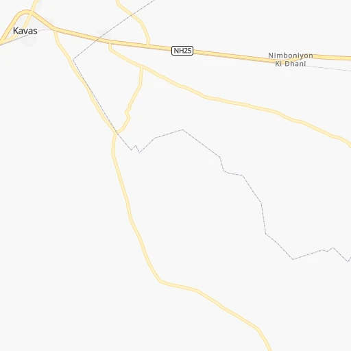
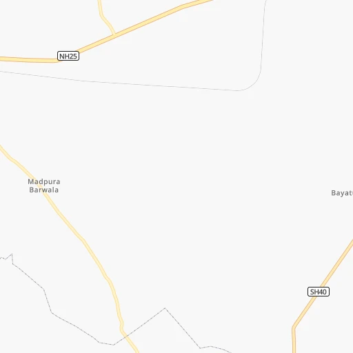
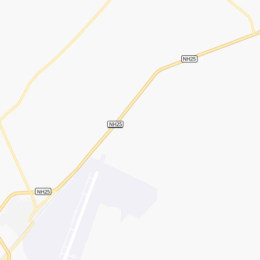
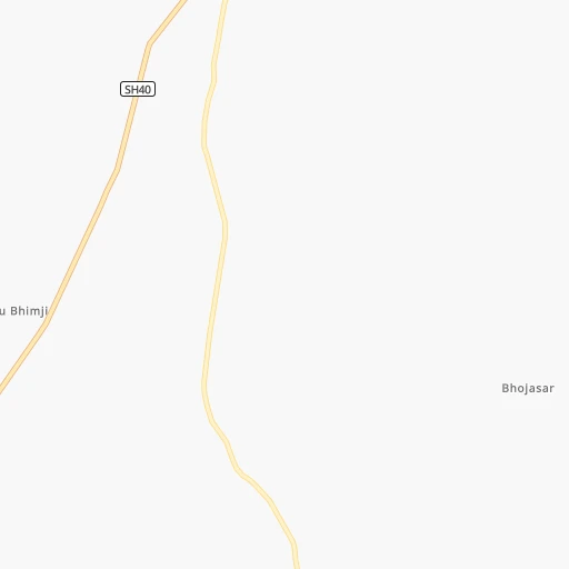
Roadmap (route) to go from Bania Sanda Dhora to Dahegām detailed above, you can also see the course layout on the map.
While doing trip Bania Sanda Dhora - Dahegām by car, the calculated route ends at a distance , or more straight.
Distance and duration of the route between Bania Sanda Dhora and Dahegām
An error occured: undefined - for url https://router.cartes.cc/route?point=25.86001%2C71.66505&point=23.16903%2C72.82161&vehicle=car&debug=false&data_type=application%2Fjson&locale=en&points_encoded=true&instructions=true&elevation=false&optimize=false&timeout=10000&skip.host=true&skip.basePath=true&graphhopper_maps_host=https%3A%2F%2Fgraphhopper.com%2Fmaps%2F%3F&turn_sign_map.0=continue&turn_sign_map.1=turn%20slight%20right&turn_sign_map.2=turn%20right&turn_sign_map.3=turn%20sharp%20right&turn_sign_map.4=finish&turn_sign_map.5=reached%20via%20point&turn_sign_map.6=enter%20roundabout&turn_sign_map.-6=leave%20roundabout&turn_sign_map.-3=turn%20sharp%20left&turn_sign_map.-2=turn%20left&turn_sign_map.-1=turn%20slight%20left&key=&position=topleft
Calculation of distance and route from Dahegām to Bania Sanda Dhora :
321.1394.6 km6h24mn
Continue 0h19mn 9.4 kmTurn sharp right 0h14mn 11.4 kmKeep left 0h1mn 515 mKeep left onto SH40 0h7mn 7.8 kmTurn left onto SH40 0h0mn 296 mTurn sharp right 0h9mn 7.4 kmTurn sharp left onto SH16 0h29mn 31.8 kmTurn right onto SH16A 0h25mn 27.5 kmTurn left onto SH16A 1h36mn 39.3 kmTurn right onto MDR174 0h0mn 45 mTurn left 0h1mn 404 mTurn left 0h0mn 248 mTurn slight right 0h0mn 145 mTurn right onto SH31, 16A 1h30mn 33.2 kmKeep left 0h1mn 320 mKeep right 0h1mn 640 mContinue 0h0mn 166 mTurn left onto SH11 0h27mn 29.8 kmTurn right onto NH168 0h11mn 12.7 kmContinue onto SH7 0h16mn 18.1 kmTurn right onto SH_ 0h10mn 11.5 kmTurn left 0h1mn 567 mTurn right 0h6mn 5.3 kmTurn left onto NH27 0h7mn 8.3 kmAt roundabout, take exit 2 0h1mn 1.6 kmTurn right 0h0mn 349 mAt roundabout, take exit 2 onto Suresh Mehta Chok 0h0mn 315 mTurn sharp left onto SH712 0h9mn 9.9 kmTurn right onto SH132 0h14mn 15.2 kmTurn right 0h28mn 22.9 kmTurn sharp right onto SH215 0h7mn 8.2 kmTurn slight right onto NH168G 0h1mn 1.6 kmTurn sharp left 0h1mn 994 mTurn right 0h0mn 428 mTurn left 0h0mn 388 mTurn left onto SH130 0h0mn 176 mKeep left onto SH130 0h1mn 562 mTurn right onto SH71, SH218 0h1mn 821 mKeep left onto SH71, SH218 0h14mn 15.0 kmTurn left 0h7mn 8.0 kmContinue onto NH68 0h0mn 335 mTurn left onto Gozariya circle 0h0mn 14 mKeep right onto Gozariya circle 0h0mn 22 mKeep left onto SH71 0h16mn 17.5 kmAt roundabout, take exit 3 onto SH71 0h10mn 10.5 kmTurn left onto Road 7 0h1mn 792 mAt roundabout, take exit 2 onto Road 7 0h1mn 1.6 kmAt roundabout, take exit 2 onto Road 7 0h1mn 1.6 kmAt roundabout, take exit 1 onto NH147 0h5mn 6.4 kmAt roundabout, take exit 3 onto Chiloda Circle 0h11mn 11.9 kmTurn left onto Ahmedabad-Modasa Highway 0h0mn 322 mTurn sharp right 0h0mn 103 mTurn left 0h0mn 93 mTurn right 0h0mn 54 mArrive at destination 0h0mn 0 m
Travel from Bania Sanda Dhora (Gujarat) to a selection of major cities.
Distances from Bania Sanda Dhora to biggest cities in Rajasthan
- Chittaurgarh,106,710 inhabitants.317 km
- Churu,103,533 inhabitants.426 km
- Dhaulpur,102,462 inhabitants.627 km
- Bundi,98,569 inhabitants.401 km
- Nagaur,96,847 inhabitants.255 km
- Hindaun,95,593 inhabitants.545 km
- Makrana,93,904 inhabitants.332 km
- Banswara,93,648 inhabitants.381 km
- Barmer,89,487 inhabitants.30 km
- Baran,87,478 inhabitants.495 km
- Sardarshahr,86,672 inhabitants.401 km
- Fatehpur,83,170 inhabitants.404 km
- Karauli,73,717 inhabitants.540 km
- Dausa,73,034 inhabitants.480 km
- Balotra,68,120 inhabitants.58 km
- Jaisalmer,67,604 inhabitants.140 km
- Ratangarh,66,625 inhabitants.383 km
- Rajsamand,63,414 inhabitants.239 km
- Suratgarh,63,153 inhabitants.444 km
- Ladnun,60,490 inhabitants.337 km
Other major cities in country :
- Gorakhpur [10], 1,324,570 inhabitants. 562 km
- Nashik [16], 1,289,497 inhabitants. 688 km
- Pimpri [16], 1,284,606 inhabitants. 835 km
- Kalyan [16], 1,262,255 inhabitants. 752 km
- Thane [16], 1,261,517 inhabitants. 754 km
- Meerut [36], 1,223,184 inhabitants. 690 km
- Nowrangapur [21], 1,220,946 inhabitants. 1,339 km
- Faridabad [10], 1,220,229 inhabitants. 627 km
- Ghaziabad [36], 1,199,191 inhabitants. 651 km
- Dombivli [16], 1,193,000 inhabitants. 754 km
- Rajkot [09], 1,177,362 inhabitants. 407 km
- Varanasi [36], 1,164,404 inhabitants. 1,140 km
- Amritsar [23], 1,092,450 inhabitants. 714 km
- Allahabad [36], 1,073,438 inhabitants. 1,022 km
- Visakhapatnam [02], 1,063,178 inhabitants. 1,499 km
- Teni [25], 1,034,724 inhabitants. 1,868 km
- Jabalpur [35], 1,030,168 inhabitants. 891 km
- Haora [28], 1,027,672 inhabitants. 1,728 km
- Aurangabad [16], 1,016,441 inhabitants. 765 km
- Shivaji Nagar [16], 1,000,000 inhabitants. 846 km
Route from Dahegām to major cities (India).
- Distance Dahegām Mumbai456 km
- Distance Dahegām Delhi753 km
- Distance Dahegām Bengaluru1,242 km
- Distance Dahegām Kolkata1,595 km
- Distance Dahegām Chennai1,371 km
- Distance Dahegām Hyderabad872 km
- Distance Dahegām Pune529 km
- Distance Dahegām Kanpur844 km
- Distance Dahegām Jaipur514 km
- Distance Dahegām Navi Mumbai460 km
- Distance Dahegām Lucknow913 km
- Distance Dahegām Nagpur684 km
- Distance Dahegām Indore313 km
- Distance Dahegām Patna1,277 km
- Distance Dahegām Bhopal469 km
- Distance Dahegām Ludhiana913 km
- Distance Dahegām Tirunelveli1,689 km
- Distance Dahegām Agra688 km
- Distance Dahegām Gorakhpur755 km
- Distance Dahegām Nashik367 km
Nearest cities to Bania Sanda Dhora :
- Ahmedabad, 3,719,710 inhabitants. 329 km
- Jodhpur, 921,476 inhabitants. 142 km
- Bikaner, 576,015 inhabitants. 291 km
- Ajmer, 517,911 inhabitants. 304 km
- Udaipur, 422,784 inhabitants. 250 km
- Bhilwara, 326,431 inhabitants. 304 km
- Pali, 210,103 inhabitants. 166 km
- Gandhinagar, 195,985 inhabitants. 312 km
- Sujangarh, 183,808 inhabitants. 346 km
- Gandhidham, 166,388 inhabitants. 346 km
- Bhuj, 133,459 inhabitants. 354 km
- Beawar, 130,777 inhabitants. 267 km
- Palanpur, 123,294 inhabitants. 204 km
- Patan, 117,863 inhabitants. 229 km
- Chittaurgarh, 106,710 inhabitants. 317 km
- Nagaur, 96,847 inhabitants. 255 km
- Banswara, 93,648 inhabitants. 381 km
- Disa, 92,224 inhabitants. 186 km
- Barmer, 89,487 inhabitants. 30 km
- Sardarshahr, 86,672 inhabitants. 401 km
- Dhrangadhra, 75,578 inhabitants. 320 km
- Visnagar, 68,619 inhabitants. 257 km
- Balotra, 68,120 inhabitants. 58 km
- Jaisalmer, 67,604 inhabitants. 140 km
- Anjar, 66,888 inhabitants. 348 km
- Ratangarh, 66,625 inhabitants. 383 km
- Rajsamand, 63,414 inhabitants. 239 km
- Himatnagar, 60,634 inhabitants. 284 km
- Ladnun, 60,490 inhabitants. 337 km
- Modasa, 58,970 inhabitants. 314 km
- Kadi, 58,066 inhabitants. 293 km
- Nokha, 55,911 inhabitants. 261 km
- Unjha, 54,620 inhabitants. 240 km
- Siddhapur, 54,313 inhabitants. 228 km
- Abu Road, 50,262 inhabitants. 190 km
- Didwana, 49,852 inhabitants. 337 km
- Jalor, 49,682 inhabitants. 111 km
- Sri Dungargarh, 48,036 inhabitants. 341 km
- Phalodi, 46,788 inhabitants. 158 km
- Dungarpur, 45,195 inhabitants. 305 km
- Kapadvanj, 44,764 inhabitants. 346 km
- Merta, 43,758 inhabitants. 252 km
- Bhinmal, 42,863 inhabitants. 114 km
- Sojat, 42,556 inhabitants. 201 km
- Bilara, 41,710 inhabitants. 207 km
- Dahegam, 40,671 inhabitants. 322 km
- Nathdwara, 39,426 inhabitants. 240 km
- Sirohi, 38,610 inhabitants. 161 km
- Radhanpur, 35,457 inhabitants. 226 km
- Lunavada, 35,431 inhabitants. 362 km
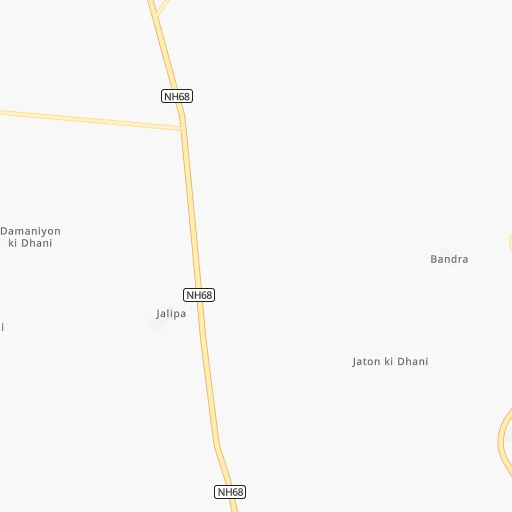
Location Bania Sanda Dhora (Rajasthan) :
| Country flag |  |
| Location | Bania Sanda Dhora |
| State | Rajasthan |
| County | Bārmer |
| Country | India |
| Country code / ISO 2 | IN |
| Latitude | 25.8600100 |
| Longitude | 71.6650500 |
| Altitude | 0 meters |
| Time zone | Asia/Kolkata |
Location Dahegām (Gujarat) :
| Country flag | |
| Location | Dahegām |
| State | Gujarat |
| County | Gāndhīnagar |
| Country | India |
| Country code / ISO 2 | IN |
| Latitude | 23.1690300 |
| Longitude | 72.8216100 |
| Altitude | 0 meters |
| Time zone | Asia/Kolkata |
