
How to get from Magugpo Poblacion (Davao) to Budta (Autonomous Region in Muslim Mindanao)
Calculate route from Magugpo Poblacion (Davao, Philippines) to Budta (Autonomous Region in Muslim Mindanao, Philippines).
The flight distance (as the crow flies) between Magugpo Poblacion and Budta is 152.8 km.
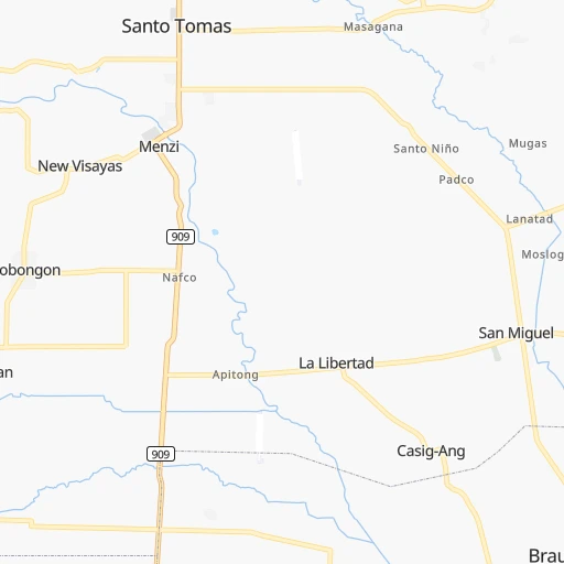
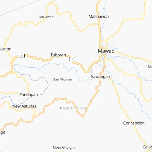
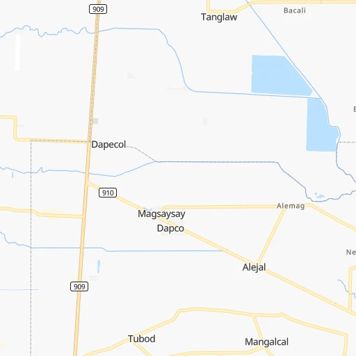
Roadmap (route) to go from Magugpo Poblacion to Budta detailed above, you can also see the course layout on the map.
While doing trip Magugpo Poblacion - Budta by car, the calculated route ends at a distance , or more straight.
Distance and duration of the route between Magugpo Poblacion and Budta
An error occured: undefined - for url https://router.cartes.cc/route?point=7.4475%2C125.8046&point=7.20417%2C124.43972&vehicle=car&debug=false&data_type=application%2Fjson&locale=en&points_encoded=true&instructions=true&elevation=false&optimize=false&timeout=10000&skip.host=true&skip.basePath=true&graphhopper_maps_host=https%3A%2F%2Fgraphhopper.com%2Fmaps%2F%3F&turn_sign_map.0=continue&turn_sign_map.1=turn%20slight%20right&turn_sign_map.2=turn%20right&turn_sign_map.3=turn%20sharp%20right&turn_sign_map.4=finish&turn_sign_map.5=reached%20via%20point&turn_sign_map.6=enter%20roundabout&turn_sign_map.-6=leave%20roundabout&turn_sign_map.-3=turn%20sharp%20left&turn_sign_map.-2=turn%20left&turn_sign_map.-1=turn%20slight%20left&key=&position=topleft
Calculation of distance and route from Budta to Magugpo Poblacion :
152.8223.8 km4h6mn
Continue onto Osmeña Street 0h0mn 161 mTurn right onto Lapu-Lapu Street 0h0mn 229 mTurn left onto Sobrecarey Street 0h1mn 857 mTurn right onto Davao-Agusan National Highway 0h17mn 20.5 kmContinue onto Davao-Agusan National Highway 0h10mn 10.0 kmTurn sharp right onto Villarosa Street 0h0mn 211 mTurn left onto Cabantian-Bunawan Road 0h4mn 3.4 kmTurn right onto Santa Cruz-Mahayag Road 0h6mn 3.7 kmTurn right onto Gatungan-Callawa Road 0h5mn 4.5 kmTurn right onto Mandug-Callawa Road 0h2mn 2.3 kmContinue 0h3mn 1.4 kmContinue 0h2mn 1.1 kmTurn right 0h1mn 492 mTurn left 0h7mn 4.8 kmContinue 0h2mn 1.1 kmTurn right 0h0mn 272 mTurn left 0h1mn 899 mTurn right onto Calinan-Talandang Road 0h3mn 2.4 kmTurn right onto Davao-Bukidnon Road 0h25mn 22.7 kmTurn left onto Arakan-Lumondao Road 0h4mn 4.0 kmTurn slight left onto Masawang-Ballah Road 0h1mn 1.3 kmTurn right 0h1mn 546 mTurn right 0h1mn 716 mTurn left 0h1mn 345 mTurn left onto Arakan-Lumondao Road 0h17mn 19.4 kmTurn left onto Meocan-Malibatuan Road 0h2mn 2.1 kmTurn sharp left onto Malibatuan-Mahongcog Road 0h3mn 3.3 kmTurn right onto Anuling Road 0h3mn 3.9 kmTurn left onto Magpet-Arakan Road 0h1mn 1.2 kmTurn sharp right 0h5mn 4.6 kmTurn left 0h2mn 1.5 kmTurn left 0h8mn 6.7 kmTurn left 0h0mn 414 mTurn right onto Antipas-Magpet Road 0h1mn 306 mTurn slight right onto Kidapawan-Arakan Road 0h0mn 45 mTurn left 0h12mn 10.3 kmContinue onto Matalam Antipas Road 0h10mn 10.2 kmTurn right 0h3mn 1.6 kmTurn left 0h0mn 113 mTurn right 0h1mn 507 mTurn left 0h0mn 137 mTurn right 0h4mn 3.1 kmTurn left 0h3mn 2.9 kmTurn left 0h11mn 8.6 kmTurn right onto Rizal Avenue 0h2mn 1.9 kmKeep left onto Davao-Cotabato National Highway 1h36mn 41.5 kmTurn left onto Sergio Osmena Street 0h5mn 3.8 kmKeep left 0h1mn 325 mTurn right 0h0mn 5 mTurn sharp left 0h4mn 3.3 kmTurn sharp right 0h0mn 154 mTurn sharp left 0h2mn 820 mContinue 0h2mn 810 mContinue 0h9mn 2.4 kmArrive at destination 0h0mn 0 m
Travel from Magugpo Poblacion (Autonomous Region in Muslim Mindanao) to a selection of major cities.
Distances from Magugpo Poblacion to biggest cities in Davao
Other major cities in country :
- Bacoor [40], 356,974 inhabitants. 945 km
- Lapu-Lapu City [07], 350,467 inhabitants. 378 km
- Iligan [10], 342,618 inhabitants. 193 km
- Mandaue City [07], 331,320 inhabitants. 381 km
- Calamba [40], 316,612 inhabitants. 908 km
- Iligan City [12], 312,323 inhabitants. 179 km
- Butuan [13], 309,709 inhabitants. 170 km
- Cabuyao [40], 308,745 inhabitants. 916 km
- Mandaluyong City [NCR], 305,576 inhabitants. 949 km
- Binan [40], 300,000 inhabitants. 925 km
- Angeles City [03], 299,391 inhabitants. 1,029 km
- Santol [03], 298,976 inhabitants. 1,031 km
- Cainta [40], 283,172 inhabitants. 944 km
- Baguio [15], 272,714 inhabitants. 1,148 km
- San Pedro [40], 270,216 inhabitants. 928 km
- Mantampay [10], 265,032 inhabitants. 193 km
- San Fernando [03], 251,248 inhabitants. 1,013 km
- Libertad [13], 250,353 inhabitants. 170 km
- Navotas [NCR], 249,463 inhabitants. 963 km
- Tacloban [08], 242,089 inhabitants. 432 km
Route from Budta to major cities (Philippines).
- Distance Budta Quezon City908 km
- Distance Budta Manila906 km
- Distance Budta Caloocan City911 km
- Distance Budta Davao130 km
- Distance Budta Malingao6 km
- Distance Budta Cebu City352 km
- Distance Budta General Santos146 km
- Distance Budta Taguig894 km
- Distance Budta Pasig City901 km
- Distance Budta Las Pinas891 km
- Distance Budta Antipolo902 km
- Distance Budta Makati City898 km
- Distance Budta Zamboanga263 km
- Distance Budta Bacolod City419 km
- Distance Budta Mansilingan414 km
- Distance Budta Cagayan de Oro144 km
- Distance Budta Dasmarinas881 km
- Distance Budta Pasay899 km
- Distance Budta Iloilo440 km
- Distance Budta San Jose del Monte925 km
Nearest cities to Magugpo Poblacion :
- Budta, 1,273,715 inhabitants. 153 km
- Davao, 1,212,504 inhabitants. 47 km
- Malingao, 1,121,974 inhabitants. 150 km
- Cebu City, 798,634 inhabitants. 383 km
- General Santos, 679,588 inhabitants. 164 km
- Cagayan de Oro, 445,103 inhabitants. 172 km
- Lapu-Lapu City, 350,467 inhabitants. 378 km
- Iligan, 342,618 inhabitants. 193 km
- Mandaue City, 331,320 inhabitants. 381 km
- Iligan City, 312,323 inhabitants. 179 km
- Butuan, 309,709 inhabitants. 170 km
- Mantampay, 265,032 inhabitants. 193 km
- Libertad, 250,353 inhabitants. 170 km
- Magugpo Poblacion, 233,254 inhabitants. 0 km
- Pagadian, 186,852 inhabitants. 265 km
- Cotabato, 179,433 inhabitants. 174 km
- Toledo, 156,916 inhabitants. 404 km
- Marawi City, 143,627 inhabitants. 179 km
- Kabankalan, 136,483 inhabitants. 434 km
- Talisay, 133,148 inhabitants. 378 km
- Muricay, 132,094 inhabitants. 260 km
- Koronadal, 125,502 inhabitants. 149 km
- Digos, 116,122 inhabitants. 92 km
- Dumaguete, 113,541 inhabitants. 345 km
- Mati, 105,908 inhabitants. 71 km
- Dipolog, 93,549 inhabitants. 299 km
- Ozamiz City, 93,082 inhabitants. 230 km
- Surigao, 87,832 inhabitants. 263 km
- Tagbilaran City, 86,411 inhabitants. 327 km
- Panabo, 84,749 inhabitants. 20 km
- NIA Valencia, 83,591 inhabitants. 94 km
- Kidapawan, 79,652 inhabitants. 93 km
- Mariano, 70,516 inhabitants. 172 km
- Bislig, 67,567 inhabitants. 102 km
- Bais, 65,594 inhabitants. 380 km
- Polomolok, 63,987 inhabitants. 159 km
- Minglanilla, 62,058 inhabitants. 382 km
- Malaybalay, 61,524 inhabitants. 109 km
- Banga, 58,855 inhabitants. 161 km
- Tacurong, 54,648 inhabitants. 150 km
- Malungun, 52,248 inhabitants. 142 km
- Monkayo, 51,393 inhabitants. 49 km
- Dapitan, 50,514 inhabitants. 295 km
- Liloan, 49,198 inhabitants. 384 km
- Consolacion, 48,638 inhabitants. 384 km
- Bugo, 45,787 inhabitants. 165 km
- Parang, 44,930 inhabitants. 170 km
- Canlaon, 44,851 inhabitants. 433 km
- Samal, 43,526 inhabitants. 43 km
- Alabel, 43,312 inhabitants. 160 km
Location Magugpo Poblacion (Davao) :
| Country flag |  |
| Location | Magugpo Poblacion |
| State | Davao |
| County | Province of Davao del Norte |
| Country | Philippines |
| Country code / ISO 2 | PH |
| Latitude | 7.4475000 |
| Longitude | 125.8046000 |
| Altitude | 0 meters |
| Time zone | Asia/Manila |
Location Budta (Autonomous Region in Muslim Mindanao) :
| Country flag | |
| Location | Budta |
| State | Autonomous Region in Muslim Mindanao |
| County | Province of Maguindanao |
| Country | Philippines |
| Country code / ISO 2 | PH |
| Latitude | 7.2041700 |
| Longitude | 124.4397200 |
| Altitude | 0 meters |
| Time zone | Asia/Manila |