
How to get from Galanta (Trnavský) to Rimavská Sobota (Banskobystrický)
Calculate route from Galanta (Trnavský, Slovakia) to Rimavská Sobota (Banskobystrický, Slovakia).
The flight distance (as the crow flies) between Galanta and Rimavská Sobota is 171.0 km.
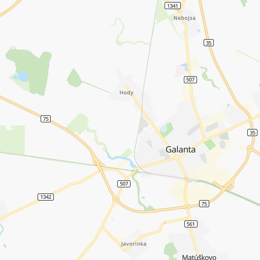
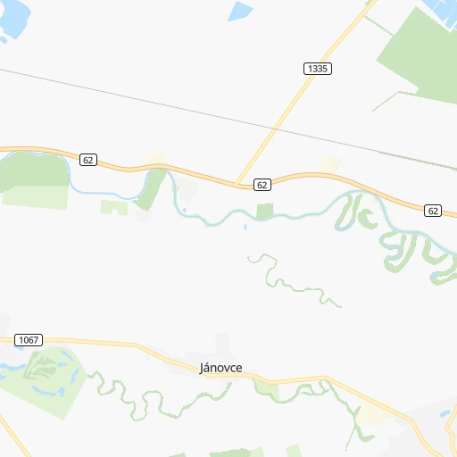
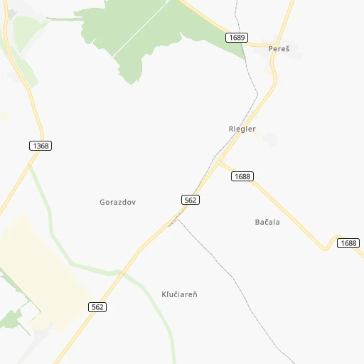
Roadmap (route) to go from Galanta to Rimavská Sobota detailed above, you can also see the course layout on the map.
While doing trip Galanta - Rimavská Sobota by car, the calculated route ends at a distance , or more straight.
Distance and duration of the route between Galanta and Rimavská Sobota
An error occured: undefined - for url https://router.cartes.cc/route?point=48.19001%2C17.72747&point=48.38284%2C20.02239&vehicle=car&debug=false&data_type=application%2Fjson&locale=en&points_encoded=true&instructions=true&elevation=false&optimize=false&timeout=10000&skip.host=true&skip.basePath=true&graphhopper_maps_host=https%3A%2F%2Fgraphhopper.com%2Fmaps%2F%3F&turn_sign_map.0=continue&turn_sign_map.1=turn%20slight%20right&turn_sign_map.2=turn%20right&turn_sign_map.3=turn%20sharp%20right&turn_sign_map.4=finish&turn_sign_map.5=reached%20via%20point&turn_sign_map.6=enter%20roundabout&turn_sign_map.-6=leave%20roundabout&turn_sign_map.-3=turn%20sharp%20left&turn_sign_map.-2=turn%20left&turn_sign_map.-1=turn%20slight%20left&key=&position=topleft
Calculation of distance and route from Rimavská Sobota to Galanta :
171.0222.3 km2h21mn
Continue 0h0mn 58 mTurn right onto Námestie detí 0h0mn 62 mTurn left onto Námestie detí 0h0mn 66 mTurn right onto Revolučná štvrť 0h1mn 289 mContinue onto Štvrť SNP 0h1mn 315 mTurn left onto Esterházyovcov 0h4mn 4.0 kmAt roundabout, take exit 3 onto 35 0h3mn 3.5 kmKeep right and take R1 toward Nitra 1h4mn 125.5 kmKeep right and take R2 toward Košice, Šahy, Zvolen 0h9mn 10.6 kmContinue onto Osloboditeľov 0h2mn 3.1 kmAt roundabout, take exit 2 0h11mn 19.2 kmAt roundabout, take exit 3 onto 16 0h10mn 8.5 kmKeep left onto 16 0h7mn 13.2 kmContinue onto 16 0h5mn 6.1 kmKeep left onto 16 0h19mn 24.8 kmKeep right onto Košická cesta and take 16, 531 toward Košice, Rožňava, Jesenské, Centrum 0h0mn 41 mAt roundabout, take exit 1 onto Cukrovarská 0h1mn 772 mAt roundabout, take exit 2 onto Cukrovarská 0h1mn 821 mAt roundabout, take exit 1 onto Malohontská 0h0mn 324 mAt roundabout, take exit 2 onto Malohontská 0h0mn 414 mAt roundabout, take exit 1 onto B. Bartóka 0h0mn 246 mTurn left onto Šrobárova 0h0mn 117 mTurn left onto Francisciho 0h0mn 63 mTurn right 0h0mn 74 mArrive at destination 0h0mn 0 m
Travel from Galanta (Banskobystrický) to a selection of major cities.
Distances from Galanta to biggest cities in Trnavský
Other major cities in country :
Route from Rimavská Sobota to major cities (Slovakia).
- Distance Rimavská Sobota Bratislava218 km
- Distance Rimavská Sobota Kosice98 km
- Distance Rimavská Sobota Presov112 km
- Distance Rimavská Sobota Nitra144 km
- Distance Rimavská Sobota Zilina133 km
- Distance Rimavská Sobota Trnava180 km
- Distance Rimavská Sobota Martin111 km
- Distance Rimavská Sobota Trencin156 km
- Distance Rimavská Sobota Poprad78 km
- Distance Rimavská Sobota Prievidza112 km
Nearest cities to Galanta :
- Bratislava, 423,737 inhabitants. 46 km
- Nitra, 86,329 inhabitants. 30 km
- Zilina, 85,985 inhabitants. 137 km
- Banska Bystrica, 82,336 inhabitants. 122 km
- Trnava, 69,785 inhabitants. 23 km
- Martin, 60,817 inhabitants. 131 km
- Trencin, 58,278 inhabitants. 82 km
- Poprad, 57,431 inhabitants. 213 km
- Prievidza, 52,987 inhabitants. 93 km
- Zvolen, 44,502 inhabitants. 114 km
- Povazska Bystrica, 43,936 inhabitants. 116 km
- Nove Zamky, 42,044 inhabitants. 40 km
- Spisska Nova Ves, 39,195 inhabitants. 225 km
- Levice, 37,574 inhabitants. 65 km
- Komarno, 36,279 inhabitants. 56 km
- Liptovsky Mikulas, 33,509 inhabitants. 171 km
- Ruzomberok, 30,806 inhabitants. 152 km
- Piestany, 30,000 inhabitants. 46 km
- Lucenec, 28,159 inhabitants. 145 km
- Dubnica nad Vahom, 26,617 inhabitants. 92 km
- Rimavska Sobota, 25,235 inhabitants. 171 km
- Cadca, 24,670 inhabitants. 159 km
- Sellye, 24,513 inhabitants. 12 km
- Partizanske, 24,370 inhabitants. 69 km
- Hlohovec, 23,930 inhabitants. 27 km
- Dunajska Streda, 23,639 inhabitants. 24 km
- Senica, 21,741 inhabitants. 61 km
- Nove Mesto nad Vahom, 21,527 inhabitants. 64 km
- Kezmarok, 21,391 inhabitants. 225 km
- Pezinok, 21,343 inhabitants. 36 km
- Brezno, 21,331 inhabitants. 157 km
- Ziar nad Hronom, 19,392 inhabitants. 94 km
- Roznava, 19,261 inhabitants. 214 km
- Dolny Kubin, 18,995 inhabitants. 162 km
- Banovce nad Bebravou, 18,933 inhabitants. 71 km
- Puchov, 18,833 inhabitants. 113 km
- Handlova, 18,018 inhabitants. 97 km
- Malacky, 17,773 inhabitants. 59 km
- Kysucke Nove Mesto, 16,558 inhabitants. 146 km
- Galanta, 16,365 inhabitants. 0 km
- Stara L'ubovna, 16,000 inhabitants. 250 km
- Zlate Moravce, 15,618 inhabitants. 54 km
- Detva, 15,020 inhabitants. 132 km
- Skalica, 15,013 inhabitants. 82 km
- Senec, 14,673 inhabitants. 24 km
- Levoca, 14,511 inhabitants. 230 km
- Revuca, 13,466 inhabitants. 185 km
- Myjava, 13,142 inhabitants. 64 km
- Velky Krtis, 12,608 inhabitants. 120 km
- Nova Dubnica, 12,358 inhabitants. 88 km
Location Galanta (Trnavský) :
| Country flag |  |
| Location | Galanta |
| State | Trnavský |
| County | Okres Galanta |
| Country | Slovakia |
| Country code / ISO 2 | SK |
| Latitude | 48.1900100 |
| Longitude | 17.7274700 |
| Altitude | 0 meters |
| Time zone | Europe/Bratislava |
Location Rimavská Sobota (Banskobystrický) :
| Country flag | |
| Location | Rimavská Sobota |
| State | Banskobystrický |
| County | |
| Country | Slovakia |
| Country code / ISO 2 | SK |
| Latitude | 48.3828400 |
| Longitude | 20.0223900 |
| Altitude | 0 meters |
| Time zone | Europe/Bratislava |
