
How to get from Karviná (Moravskoslezský) to Hranice (Olomoucký)
Calculate route from Karviná (Moravskoslezský, Czech Republic) to Hranice (Olomoucký, Czech Republic).
The flight distance (as the crow flies) between Karviná and Hranice is 67.2 km.
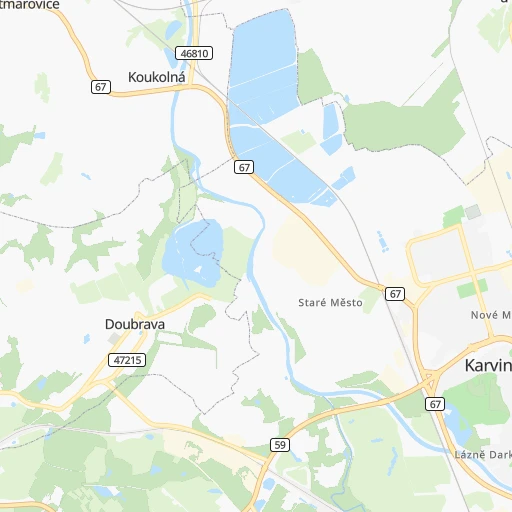
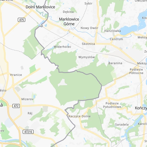
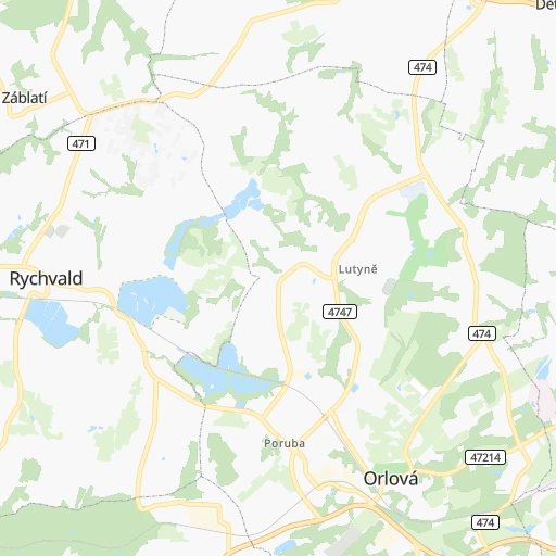
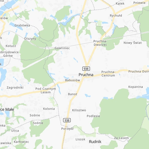
Roadmap (route) to go from Karviná to Hranice detailed above, you can also see the course layout on the map.
While doing trip Karviná - Hranice by car, the calculated route ends at a distance , or more straight.
Distance and duration of the route between Karviná and Hranice
An error occured: undefined - for url https://router.cartes.cc/route?point=49.854%2C18.54169&point=49.54796%2C17.73469&vehicle=car&debug=false&data_type=application%2Fjson&locale=en&points_encoded=true&instructions=true&elevation=false&optimize=false&timeout=10000&skip.host=true&skip.basePath=true&graphhopper_maps_host=https%3A%2F%2Fgraphhopper.com%2Fmaps%2F%3F&turn_sign_map.0=continue&turn_sign_map.1=turn%20slight%20right&turn_sign_map.2=turn%20right&turn_sign_map.3=turn%20sharp%20right&turn_sign_map.4=finish&turn_sign_map.5=reached%20via%20point&turn_sign_map.6=enter%20roundabout&turn_sign_map.-6=leave%20roundabout&turn_sign_map.-3=turn%20sharp%20left&turn_sign_map.-2=turn%20left&turn_sign_map.-1=turn%20slight%20left&key=&position=topleft
Calculation of distance and route from Hranice to Karviná :
67.279.5 km1h1mn
Continue onto Masarykovo nám. 0h0mn 79 mTurn right onto Masarykovo nám. 0h0mn 94 mTurn left onto Masarykovo nám. 0h0mn 140 mAt roundabout, take exit 2 onto Karola Śliwky 0h0mn 118 mContinue onto Karola Śliwky 0h0mn 57 mTurn left onto Ostravská 0h6mn 5.6 kmAt roundabout, take exit 2 onto Ostravská 0h8mn 7.1 kmAt roundabout, take exit 2 onto Ostravská 0h3mn 2.2 kmKeep left onto 59 and drive toward Šenov, Frýdek-Místek 0h0mn 101 mTurn right onto 59 and drive toward Ostrava 0h2mn 2.3 kmAt roundabout, take exit 2 onto Fryštátská 0h0mn 522 mKeep right onto 11 and drive toward Opava, Frýdek-místek, Brno 0h1mn 782 mContinue onto Rudná 0h9mn 8.7 kmKeep right 0h1mn 568 mAt roundabout, take exit 4 0h25mn 46.5 kmKeep right and take 440 toward Potštát, Hranice 0h1mn 595 mKeep right 0h0mn 92 mTurn slight right onto 440 0h2mn 2.3 kmAt roundabout, take exit 1 onto Tř. 1. máje 0h1mn 624 mContinue onto Komenského 0h0mn 160 mContinue onto Komenského 0h1mn 506 mTurn right onto Svatoplukova 0h0mn 179 mTurn left onto Svatoplukova 0h0mn 18 mKeep right onto Masarykovo náměstí 0h0mn 127 mTurn left onto Masarykovo náměstí 0h0mn 44 mTurn left onto Masarykovo náměstí 0h0mn 68 mArrive at destination 0h0mn 0 m
Travel from Karviná (Olomoucký) to a selection of major cities.
Distances from Karviná to biggest cities in Moravskoslezský
Other major cities in country :
Route from Hranice to major cities (Czech Republic).
- Distance Hranice Prague245 km
- Distance Hranice Brno91 km
- Distance Hranice Ostrava51 km
- Distance Hranice Pilsen315 km
- Distance Hranice Liberec234 km
- Distance Hranice Ceske Budejovice245 km
- Distance Hranice Hradec Kralove155 km
- Distance Hranice Usti nad Labem292 km
- Distance Hranice Pardubice151 km
- Distance Hranice Havirov57 km
- Distance Hranice Zlin36 km
- Distance Hranice Kladno269 km
- Distance Hranice Most312 km
- Distance Hranice Karvina67 km
- Distance Hranice Opava45 km
- Distance Hranice Frydek-Mistek47 km
- Distance Hranice Decin286 km
- Distance Hranice Karlovy Vary357 km
- Distance Hranice Teplice305 km
- Distance Hranice Chomutov325 km
Nearest cities to Karviná :
- Brno, 369,559 inhabitants. 158 km
- Ostrava, 313,088 inhabitants. 19 km
- Olomouc, 101,268 inhabitants. 97 km
- Hradec Kralove, 95,195 inhabitants. 198 km
- Pardubice, 88,741 inhabitants. 199 km
- Havirov, 82,768 inhabitants. 11 km
- Zlin, 78,759 inhabitants. 94 km
- Karvina, 63,677 inhabitants. 0 km
- Opava, 60,252 inhabitants. 47 km
- Frydek-Mistek, 59,416 inhabitants. 23 km
- Jihlava, 50,100 inhabitants. 219 km
- Prostejov, 47,374 inhabitants. 111 km
- Prerov, 47,311 inhabitants. 90 km
- Trebic, 38,785 inhabitants. 205 km
- Trinec, 38,415 inhabitants. 22 km
- Znojmo, 35,280 inhabitants. 212 km
- Orlova, 34,282 inhabitants. 8 km
- Trutnov, 31,398 inhabitants. 203 km
- Kromeriz, 29,126 inhabitants. 103 km
- Sumperk, 28,768 inhabitants. 113 km
- Vsetin, 28,575 inhabitants. 70 km
- Valasske Mezirici, 27,481 inhabitants. 59 km
- Novy Jicin, 26,547 inhabitants. 48 km
- Uherske Hradiste, 26,421 inhabitants. 117 km
- Hodonin, 26,345 inhabitants. 152 km
- Breclav, 25,789 inhabitants. 171 km
- Cesky Tesin, 25,750 inhabitants. 13 km
- Krnov, 25,547 inhabitants. 65 km
- Havlickuv Brod, 24,356 inhabitants. 215 km
- Zd'ar nad Sazavou, 24,030 inhabitants. 190 km
- Zd'ar nad Sazavou Druhy, 23,996 inhabitants. 190 km
- Chrudim, 23,630 inhabitants. 197 km
- Koprivnice, 23,424 inhabitants. 40 km
- Bohumin, 23,075 inhabitants. 14 km
- Stary Bohumin, 23,034 inhabitants. 16 km
- Vyskov, 22,265 inhabitants. 129 km
- Nachod, 21,263 inhabitants. 181 km
- Blansko, 20,384 inhabitants. 147 km
- Hranice, 19,582 inhabitants. 67 km
- Otrokovice, 18,857 inhabitants. 102 km
- Bruntal, 17,686 inhabitants. 79 km
- Uhersky Brod, 17,508 inhabitants. 113 km
- Svitavy, 17,427 inhabitants. 149 km
- Roznov pod Radhostem, 17,238 inhabitants. 53 km
- Ceska Trebova, 16,655 inhabitants. 151 km
- Dvur Kralove nad Labem, 16,150 inhabitants. 205 km
- Usti nad Orlici, 15,151 inhabitants. 155 km
- Zabreh, 14,360 inhabitants. 120 km
- Hlucin, 14,228 inhabitants. 26 km
- Sternberk, 13,967 inhabitants. 90 km
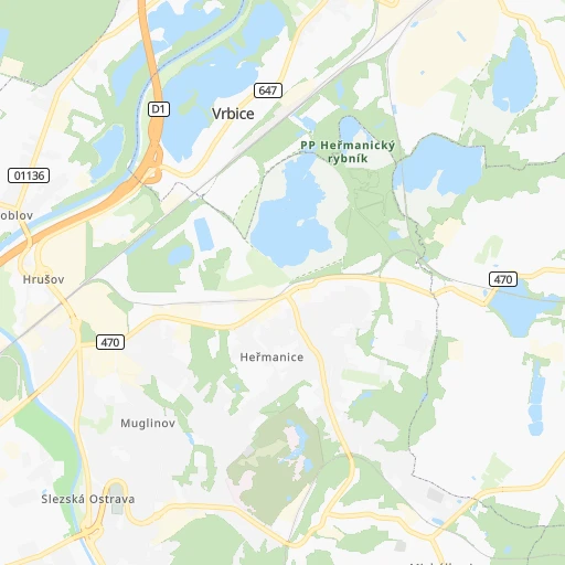
Location Karviná (Moravskoslezský) :
| Country flag |  |
| Location | Karviná |
| State | Moravskoslezský |
| County | Okres Karviná |
| Country | Czech Republic |
| Country code / ISO 2 | CZ |
| Latitude | 49.8540000 |
| Longitude | 18.5416900 |
| Altitude | 0 meters |
| Time zone | Europe/Prague |
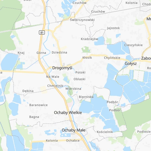
Location Hranice (Olomoucký) :
| Country flag | |
| Location | Hranice |
| State | Olomoucký |
| County | Okres Přerov |
| Country | Czech Republic |
| Country code / ISO 2 | CZ |
| Latitude | 49.5479600 |
| Longitude | 17.7346900 |
| Altitude | 0 meters |
| Time zone | Europe/Prague |


