
How to get from Vennesla (Vest-Agder) to Gjøvik (Oppland)
Calculate route from Vennesla (Vest-Agder, Norway) to Gjøvik (Oppland, Norway).
The flight distance (as the crow flies) between Vennesla and Gjøvik is 319.8 km.
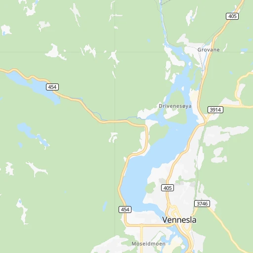
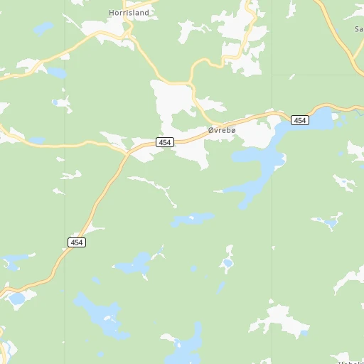
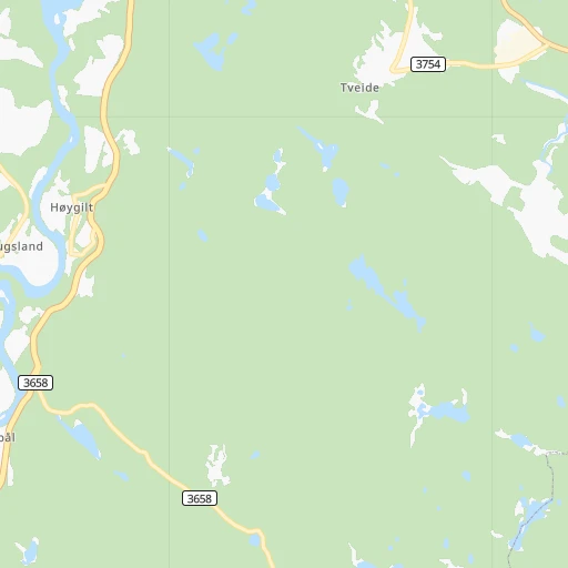
Roadmap (route) to go from Vennesla to Gjøvik detailed above, you can also see the course layout on the map.
While doing trip Vennesla - Gjøvik by car, the calculated route ends at a distance , or more straight.
Distance and duration of the route between Vennesla and Gjøvik
An error occured: undefined - for url https://router.cartes.cc/route?point=58.26856%2C7.97314&point=60.79574%2C10.69155&vehicle=car&debug=false&data_type=application%2Fjson&locale=en&points_encoded=true&instructions=true&elevation=false&optimize=false&timeout=10000&skip.host=true&skip.basePath=true&graphhopper_maps_host=https%3A%2F%2Fgraphhopper.com%2Fmaps%2F%3F&turn_sign_map.0=continue&turn_sign_map.1=turn%20slight%20right&turn_sign_map.2=turn%20right&turn_sign_map.3=turn%20sharp%20right&turn_sign_map.4=finish&turn_sign_map.5=reached%20via%20point&turn_sign_map.6=enter%20roundabout&turn_sign_map.-6=leave%20roundabout&turn_sign_map.-3=turn%20sharp%20left&turn_sign_map.-2=turn%20left&turn_sign_map.-1=turn%20slight%20left&key=&position=topleft
Calculation of distance and route from Gjøvik to Vennesla :
319.8429.3 km6h38mn
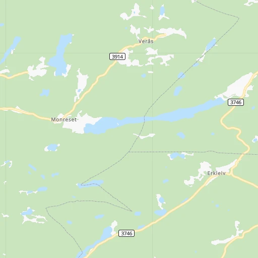
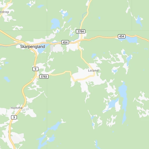
Continue onto Torsbyvegen 0h0mn 2 mTurn right onto Torsbyvegen 0h0mn 37 mTurn left onto Sentrumsvegen 0h1mn 509 mTurn right onto Sentrumsvegen 0h0mn 84 mAt roundabout, take exit 1 onto Venneslavegen 0h7mn 5.5 kmTurn right onto Honnemyrvegen 0h7mn 6.8 kmTurn right onto Oggeveien 0h5mn 6.2 kmTurn left onto Birkelandsveien 0h12mn 12.0 kmAt roundabout, take exit 2 onto Birkelandsveien 0h1mn 676 mAt roundabout, take exit 2 onto Birkelandsveien 0h0mn 251 mAt roundabout, take exit 2 onto E 18 1h52mn 73.5 kmAt roundabout, take exit 2 onto E 18 2h3mn 182.0 kmKeep right onto Sankt Hallvards vei and take E 134, 285 toward Drøbak, Hønefoss, Lierbyen 0h0mn 140 mAt roundabout, take exit 1 onto Sankt Hallvards vei 0h0mn 200 mAt roundabout, take exit 1 onto Ringeriksveien 0h1mn 672 mAt roundabout, take exit 2 onto Ringeriksveien 0h2mn 1.5 kmAt roundabout, take exit 1 onto Ringeriksveien 0h1mn 1.0 kmKeep right onto Ringeriksveien 0h4mn 3.6 kmAt roundabout, take exit 2 onto Ringeriksveien 0h19mn 20.8 kmAt roundabout, take exit 2 onto Skarveien 0h20mn 21.5 kmAt roundabout, take exit 1 onto Hadelandsveien 0h0mn 39 mTurn right onto Hadelandsveien 0h14mn 12.2 kmAt roundabout, take exit 1 onto E 16 0h10mn 13.5 kmTurn left onto Lunnerlinna 0h2mn 1.4 kmTurn left onto Lunnerlinna 0h2mn 1.7 kmTurn left onto Hadelandsvegen 0h5mn 4.6 kmAt roundabout, take exit 1 onto Morstadkrysset 0h4mn 6.3 kmKeep left onto 4 1h41mn 48.9 kmAt roundabout, take exit 1 onto 4 0h3mn 2.9 kmAt roundabout, take exit 1 onto Vestre Totenveg 0h0mn 129 mAt roundabout, take exit 1 onto Strandgata 0h1mn 490 mTurn left onto Hunnsvegen 0h0mn 113 mArrive at destination 0h0mn 0 m
Travel from Vennesla (Oppland) to a selection of major cities.
Distances from Vennesla to biggest cities in Vest-Agder
Other major cities in country :
Route from Gjøvik to major cities (Norway).
- Distance Gjøvik Oslo98 km
- Distance Gjøvik Bergen297 km
- Distance Gjøvik Trondheim294 km
- Distance Gjøvik Stavanger343 km
- Distance Gjøvik Drammen120 km
- Distance Gjøvik Fredrikstad176 km
- Distance Gjøvik Kristiansand332 km
- Distance Gjøvik Sandnes352 km
- Distance Gjøvik Tromso1,056 km
- Distance Gjøvik Sarpsborg170 km
- Distance Gjøvik Skien187 km
Nearest cities to Vennesla :
- Oslo, 580,000 inhabitants. 242 km
- Bergen, 213,585 inhabitants. 280 km
- Stavanger, 121,610 inhabitants. 151 km
- Drammen, 90,722 inhabitants. 208 km
- Fredrikstad, 72,760 inhabitants. 201 km
- Kristiansand, 63,814 inhabitants. 14 km
- Sandnes, 63,032 inhabitants. 145 km
- Skien, 50,595 inhabitants. 141 km
- Sandefjord, 42,654 inhabitants. 161 km
- Haugesund, 40,321 inhabitants. 201 km
- Tonsberg, 38,914 inhabitants. 179 km
- Moss, 34,492 inhabitants. 202 km
- Porsgrunn, 34,377 inhabitants. 137 km
- Arendal, 30,916 inhabitants. 51 km
- Ytrebygda, 24,044 inhabitants. 273 km
- Larvik, 23,113 inhabitants. 148 km
- Lillehammer, 19,096 inhabitants. 346 km
- Kongsberg, 17,667 inhabitants. 183 km
- Horten, 17,660 inhabitants. 193 km
- Gjovik, 17,596 inhabitants. 320 km
- Askoy, 17,224 inhabitants. 285 km
- Honefoss, 13,678 inhabitants. 248 km
- Ski, 12,513 inhabitants. 230 km
- Drobak, 11,363 inhabitants. 218 km
- Leirvik, 11,028 inhabitants. 220 km
- Vennesla, 10,931 inhabitants. 0 km
- Nesoddtangen, 10,911 inhabitants. 235 km
- Mandal, 10,143 inhabitants. 41 km
- Grimstad, 9,561 inhabitants. 37 km
- Egersund, 9,502 inhabitants. 117 km
- Sogne, 9,000 inhabitants. 22 km
- Brumunddal, 8,441 inhabitants. 335 km
- Notodden, 8,306 inhabitants. 162 km
- Bryne, 8,006 inhabitants. 145 km
- As, 7,961 inhabitants. 224 km
- Saeveland, 7,736 inhabitants. 195 km
- Sogndal, 6,700 inhabitants. 333 km
- Kopervik, 6,507 inhabitants. 191 km
- Holmestrand, 6,135 inhabitants. 191 km
- Indre Arna, 6,117 inhabitants. 278 km
- Lillesand, 6,081 inhabitants. 24 km
- Raufoss, 6,052 inhabitants. 312 km
- Tananger, 5,817 inhabitants. 158 km
- Hommersak, 5,692 inhabitants. 143 km
- Flekkefjord, 5,615 inhabitants. 77 km
- Stavern, 5,593 inhabitants. 144 km
- Voss, 5,571 inhabitants. 277 km
- Tranby, 5,552 inhabitants. 216 km
- Jorpeland, 5,537 inhabitants. 140 km
- Odda, 5,359 inhabitants. 216 km
Location Vennesla (Vest-Agder) :
| Country flag |  |
| Location | Vennesla |
| State | Vest-Agder |
| County | Vennesla |
| Country | Norway |
| Country code / ISO 2 | NO |
| Latitude | 58.2685600 |
| Longitude | 7.9731400 |
| Altitude | 0 meters |
| Time zone | Europe/Oslo |
Location Gjøvik (Oppland) :
| Country flag | |
| Location | Gjøvik |
| State | Oppland |
| County | Gjøvik |
| Country | Norway |
| Country code / ISO 2 | NO |
| Latitude | 60.7957400 |
| Longitude | 10.6915500 |
| Altitude | 0 meters |
| Time zone | Europe/Oslo |
