


How to get from Stacija Akmeņdziras (Ventspils Rajons) to Ogre (Ogre)
Calculate route from Stacija Akmeņdziras (Ventspils Rajons, Latvia) to Ogre (Ogre, Latvia).
The flight distance (as the crow flies) between Stacija Akmeņdziras and Ogre is 193.7 km.
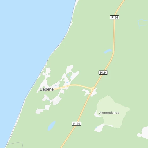
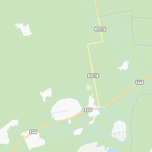
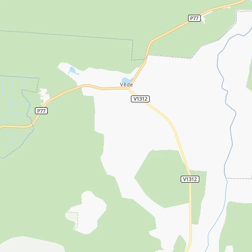
Roadmap (route) to go from Stacija Akmeņdziras to Ogre detailed above, you can also see the course layout on the map.
While doing trip Stacija Akmeņdziras - Ogre by car, the calculated route ends at a distance , or more straight.
Distance and duration of the route between Stacija Akmeņdziras and Ogre
An error occured: undefined - for url https://router.cartes.cc/route?point=57.48727%2C21.64792&point=56.8162%2C24.61401&vehicle=car&debug=false&data_type=application%2Fjson&locale=en&points_encoded=true&instructions=true&elevation=false&optimize=false&timeout=10000&skip.host=true&skip.basePath=true&graphhopper_maps_host=https%3A%2F%2Fgraphhopper.com%2Fmaps%2F%3F&turn_sign_map.0=continue&turn_sign_map.1=turn%20slight%20right&turn_sign_map.2=turn%20right&turn_sign_map.3=turn%20sharp%20right&turn_sign_map.4=finish&turn_sign_map.5=reached%20via%20point&turn_sign_map.6=enter%20roundabout&turn_sign_map.-6=leave%20roundabout&turn_sign_map.-3=turn%20sharp%20left&turn_sign_map.-2=turn%20left&turn_sign_map.-1=turn%20slight%20left&key=&position=topleft
Calculation of distance and route from Ogre to Stacija Akmeņdziras :
193.7226.1 km3h5mn
Continue 0h3mn 1.7 kmKeep right onto Pievedceļš Liepenei 0h0mn 113 mTurn right onto Ventspils — Kolka 0h4mn 5.5 kmContinue onto Ventspils — Kolka 0h4mn 4.2 kmKeep left onto Ventspils — Kolka 0h0mn 25 mTurn left onto A10 1h26mn 112.7 kmAt roundabout, take exit 2 onto Rīga — Ventspils 0h4mn 5.6 kmAt roundabout, take exit 2 1h32mn 42.3 kmContinue onto Rīga — Ventspils 0h16mn 18.8 kmKeep right 0h0mn 131 mKeep left 0h3mn 3.2 kmKeep right onto Latgales iela 0h13mn 11.4 kmKeep left onto A6 0h15mn 18.8 kmTurn left onto Kalna prospekts 0h0mn 200 mAt roundabout, take exit 2 0h1mn 462 mTurn right onto Kalna prospekts 0h1mn 447 mTurn right onto Kalna prospekts 0h2mn 461 mTurn right onto Kalna prospekts 0h0mn 140 mArrive at destination 0h0mn 0 m
Travel from Stacija Akmeņdziras (Ogre) to a selection of major cities.
Distances from Stacija Akmeņdziras to biggest cities in Ventspils Rajons
Other major cities in country :
Route from Ogre to major cities (Latvia).
- Distance Ogre Riga34 km
- Distance Ogre Daugavpils157 km
- Distance Ogre Liepaja222 km
- Distance Ogre Jelgava58 km
- Distance Ogre Jurmala54 km
Nearest cities to Stacija Akmeņdziras :
- Riga, 742,572 inhabitants. 160 km
- Liepaja, 85,132 inhabitants. 113 km
- Jelgava, 61,791 inhabitants. 156 km
- Jurmala, 54,088 inhabitants. 140 km
- Ventspils, 42,644 inhabitants. 12 km
- Ogre, 26,760 inhabitants. 194 km
- Tukums, 18,348 inhabitants. 108 km
- Salaspils, 17,606 inhabitants. 178 km
- Bolderaja, 14,771 inhabitants. 154 km
- Kuldiga, 13,289 inhabitants. 60 km
- Olaine, 12,584 inhabitants. 158 km
- Saldus, 12,224 inhabitants. 105 km
- Talsi, 12,022 inhabitants. 62 km
- Dobele, 11,225 inhabitants. 138 km
- Bauska, 10,532 inhabitants. 196 km
- Daugavgriva, 9,952 inhabitants. 152 km
- Karosta, 7,500 inhabitants. 111 km
- Aizpute, 5,634 inhabitants. 85 km
- Kekava, 4,600 inhabitants. 172 km
- Mezaparks, 4,500 inhabitants. 161 km
- Grobina, 4,203 inhabitants. 110 km
- Vangazi, 4,020 inhabitants. 180 km
- Iecava, 4,000 inhabitants. 184 km
- Balozi, 3,854 inhabitants. 164 km
- Kandava, 3,592 inhabitants. 84 km
- Broceni, 3,486 inhabitants. 106 km
- Salacgriva, 3,427 inhabitants. 164 km
- Ozolnieki, 3,400 inhabitants. 157 km
- Ikskile, 3,368 inhabitants. 187 km
- Saulkrasti, 3,184 inhabitants. 168 km
- Auce, 3,125 inhabitants. 137 km
- Pinki, 3,033 inhabitants. 149 km
Location Stacija Akmeņdziras (Ventspils Rajons) :
| Country flag |  |
| Location | Stacija Akmeņdziras |
| State | Ventspils Rajons |
| County | Tārgales pagasts |
| Country | Latvia |
| Country code / ISO 2 | LV |
| Latitude | 57.4872700 |
| Longitude | 21.6479200 |
| Altitude | 0 meters |
| Time zone | Europe/Riga |
Location Ogre (Ogre) :
| Country flag | |
| Location | Ogre |
| State | Ogre |
| County | Ogre |
| Country | Latvia |
| Country code / ISO 2 | LV |
| Latitude | 56.8162000 |
| Longitude | 24.6140100 |
| Altitude | 0 meters |
| Time zone | Europe/Riga |
