
How to get from Stantsiya Netkachëvo (Volgograd Oblast) to Kotel’nikovo (Volgograd Oblast)
Calculate route from Stantsiya Netkachëvo (Volgograd Oblast, Russia) to Kotel’nikovo (Volgograd Oblast, Russia).
The flight distance (as the crow flies) between Stantsiya Netkachëvo and Kotel’nikovo is 352.6 km.
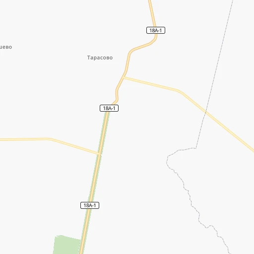
Roadmap (route) to go from Stantsiya Netkachëvo to Kotel’nikovo detailed above, you can also see the course layout on the map.
While doing trip Stantsiya Netkachëvo - Kotel’nikovo by car, the calculated route ends at a distance , or more straight.
Distance and duration of the route between Stantsiya Netkachëvo and Kotel’nikovo
An error occured: undefined - for url https://router.cartes.cc/route?point=50.56262%2C44.99187&point=47.63009%2C43.14068&vehicle=car&debug=false&data_type=application%2Fjson&locale=en&points_encoded=true&instructions=true&elevation=false&optimize=false&timeout=10000&skip.host=true&skip.basePath=true&graphhopper_maps_host=https%3A%2F%2Fgraphhopper.com%2Fmaps%2F%3F&turn_sign_map.0=continue&turn_sign_map.1=turn%20slight%20right&turn_sign_map.2=turn%20right&turn_sign_map.3=turn%20sharp%20right&turn_sign_map.4=finish&turn_sign_map.5=reached%20via%20point&turn_sign_map.6=enter%20roundabout&turn_sign_map.-6=leave%20roundabout&turn_sign_map.-3=turn%20sharp%20left&turn_sign_map.-2=turn%20left&turn_sign_map.-1=turn%20slight%20left&key=&position=topleft
Calculation of distance and route from Kotel’nikovo to Stantsiya Netkachëvo :
352.6445.4 km7h29mn
Continue 0h18mn 4.8 kmKeep left 0h2mn 603 mTurn slight right onto улица Победы 0h7mn 3.7 kmTurn sharp left onto улица Ленина 0h24mn 25.1 kmTurn sharp left 0h15mn 20.4 kmTurn left onto Степная 0h1mn 385 mTurn left 0h2mn 471 mTurn right 0h8mn 2.3 kmKeep left 0h6mn 1.7 kmKeep right 0h0mn 77 mTurn left 0h5mn 1.3 kmTurn left 0h10mn 2.8 kmTurn left 0h1mn 400 mTurn slight left onto Коммунистическая улица 0h1mn 680 mTurn right onto улица Ленина 0h4mn 3.6 kmTurn left onto Котово — Камышин 0h6mn 8.4 kmTurn right onto Р-228 and drive toward Волгоград 2h59mn 144.5 kmKeep right 0h0mn 76 mKeep right 0h5mn 4.0 kmContinue 0h3mn 3.9 kmKeep right onto Р-228 and drive toward Mосква 0h0mn 109 mContinue onto 18К-02-26 0h13mn 15.6 kmAt roundabout, take exit 2 onto 3-я Продольная магистраль 0h3mn 2.0 kmTurn right onto улица им. Лермонтова 0h2mn 2.1 kmKeep right 0h16mn 14.5 kmKeep right onto Университетский проспект 0h15mn 13.5 kmTurn right onto улица Черепановых 0h1mn 306 mTurn left onto улица Черепановых 0h1mn 480 mTurn slight right 0h3mn 818 mKeep right 0h0mn 56 mKeep right 0h2mn 413 mKeep right 0h6mn 1.7 kmKeep left 0h1mn 205 mKeep left 0h3mn 796 mKeep right 0h12mn 3.3 kmKeep right 0h1mn 375 mKeep left 0h2mn 428 mKeep right 0h1mn 261 mKeep right 0h0mn 130 mKeep right 0h1mn 351 mTurn right 0h1mn 248 mKeep left 0h0mn 72 mContinue onto улица Мира 0h3mn 2.7 kmTurn right onto Волгоград — Сальск 0h2mn 2.4 kmTurn sharp left onto Волгоград — Сальск 2h57mn 150.3 kmTurn left 0h2mn 1.3 kmTurn right onto улица Баранова 0h2mn 1.5 kmTurn right onto Советская улица 0h0mn 285 mEnter roundabout 0h0mn 58 mArrive at destination 0h0mn 0 m
Travel from Stantsiya Netkachëvo (Volgograd Oblast) to a selection of major cities.
Distances from Stantsiya Netkachëvo to biggest cities in Volgograd Oblast
Other major cities in country :
- Barnaul [04], 599,579 inhabitants. 2,644 km
- Vladivostok [59], 587,022 inhabitants. 6,281 km
- Irkutsk [20], 586,695 inhabitants. 4,004 km
- Khabarovsk [30], 579,000 inhabitants. 6,091 km
- Khabarovsk Vtoroy [30], 578,303 inhabitants. 6,097 km
- Orenburg [55], 550,204 inhabitants. 718 km
- Novokuznetsk [29], 539,616 inhabitants. 2,855 km
- Ryazan' [62], 520,173 inhabitants. 577 km
- Tyumen [78], 519,119 inhabitants. 1,526 km
- Lipetsk [43], 515,655 inhabitants. 438 km
- Penza [57], 512,602 inhabitants. 294 km
- Naberezhnyye Chelny [73], 509,870 inhabitants. 758 km
- Kalininskiy [42], 504,641 inhabitants. 1,394 km
- Astrakhan [07], 502,533 inhabitants. 520 km
- Makhachkala [17], 497,959 inhabitants. 866 km
- Tomsk [75], 485,519 inhabitants. 2,685 km
- Kemerovo [29], 477,090 inhabitants. 2,765 km
- Tula [76], 468,825 inhabitants. 643 km
- Kirov [33], 457,383 inhabitants. 943 km
- Cheboksary [16], 446,781 inhabitants. 638 km
Route from Kotel’nikovo to major cities (Russia).
- Distance Kotel’nikovo Moscow980 km
- Distance Kotel’nikovo Saint Petersburg1,603 km
- Distance Kotel’nikovo Novosibirsk2,844 km
- Distance Kotel’nikovo Yekaterinburg1,564 km
- Distance Kotel’nikovo Nizhniy Novgorod970 km
- Distance Kotel’nikovo Samara794 km
- Distance Kotel’nikovo Omsk2,236 km
- Distance Kotel’nikovo Kazan997 km
- Distance Kotel’nikovo Rostov-na-Donu261 km
- Distance Kotel’nikovo Chelyabinsk1,514 km
- Distance Kotel’nikovo Ufa1,192 km
- Distance Kotel’nikovo Perm1,448 km
- Distance Kotel’nikovo Krasnoyarsk3,464 km
- Distance Kotel’nikovo Saratov482 km
- Distance Kotel’nikovo Voronezh533 km
- Distance Kotel’nikovo Tol'yatti789 km
- Distance Kotel’nikovo Krasnodar430 km
- Distance Kotel’nikovo Ulyanovsk831 km
- Distance Kotel’nikovo Izhevsk1,232 km
- Distance Kotel’nikovo Yaroslavl1,135 km
Nearest cities to Stantsiya Netkachëvo :
- Volgograd, 1,011,417 inhabitants. 208 km
- Saratov, 863,725 inhabitants. 130 km
- Penza, 512,602 inhabitants. 294 km
- Volzhskiy, 323,293 inhabitants. 198 km
- Balakovo, 199,572 inhabitants. 255 km
- Engel's, 196,011 inhabitants. 129 km
- Kamyshin, 128,626 inhabitants. 60 km
- Balashov, 98,107 inhabitants. 169 km
- Kuznetsk, 90,480 inhabitants. 305 km
- Vol'sk, 70,500 inhabitants. 234 km
- Borisoglebsk, 68,597 inhabitants. 223 km
- Zarechnyy, 63,579 inhabitants. 294 km
- Zarechnyy, 62,139 inhabitants. 306 km
- Mikhaylovka, 58,898 inhabitants. 137 km
- Akhtubinsk, 44,551 inhabitants. 268 km
- Rtishchevo, 44,013 inhabitants. 207 km
- Uryupinsk, 41,644 inhabitants. 212 km
- Frolovo, 40,882 inhabitants. 129 km
- Serdobsk, 36,652 inhabitants. 218 km
- Petrovsk, 33,622 inhabitants. 196 km
- Marks, 32,929 inhabitants. 177 km
- Znamensk, 31,922 inhabitants. 227 km
- Privolzhskiy, 31,849 inhabitants. 120 km
- Uvarovo, 28,771 inhabitants. 247 km
- Atkarsk, 27,554 inhabitants. 146 km
- Kalach-na-Donu, 27,522 inhabitants. 234 km
- Kotovo, 26,981 inhabitants. 30 km
- Krasnoarmeysk, 25,841 inhabitants. 71 km
- Nizhniy Lomov, 23,835 inhabitants. 342 km
- Surovikino, 20,677 inhabitants. 267 km
- Kotel'nikovo, 19,622 inhabitants. 353 km
- Gorodishche, 19,509 inhabitants. 199 km
- Novoanninskiy, 19,231 inhabitants. 164 km
- Kalininsk, 18,685 inhabitants. 110 km
- Povorino, 18,004 inhabitants. 205 km
- Kirsanov, 17,975 inhabitants. 281 km
- Zhirnovsk, 17,887 inhabitants. 49 km
- Pallasovka, 17,139 inhabitants. 146 km
- Nikolayevsk, 16,044 inhabitants. 68 km
- Tsimlyansk, 15,341 inhabitants. 387 km
- Dubovka, 15,217 inhabitants. 168 km
- Yelan', 15,181 inhabitants. 98 km
- Leninsk, 15,167 inhabitants. 208 km
- Krasnyy Kut, 14,956 inhabitants. 146 km
- Petrov Val, 14,853 inhabitants. 49 km
- Arkadak, 14,392 inhabitants. 185 km
- Krasnoslobodsk, 14,334 inhabitants. 209 km
- Stepnoye, 14,035 inhabitants. 159 km
- Srednyaya Akhtuba, 13,887 inhabitants. 206 km
- Svetlyy Yar, 13,131 inhabitants. 233 km
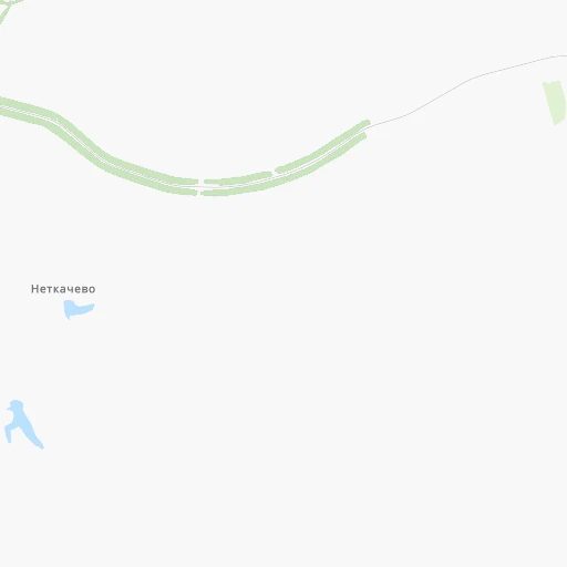
Location Stantsiya Netkachëvo (Volgograd Oblast) :
| Country flag |  |
| Location | Stantsiya Netkachëvo |
| State | Volgograd Oblast |
| County | |
| Country | Russia |
| Country code / ISO 2 | RU |
| Latitude | 50.5626200 |
| Longitude | 44.9918700 |
| Altitude | 0 meters |
| Time zone | Europe/Volgograd |
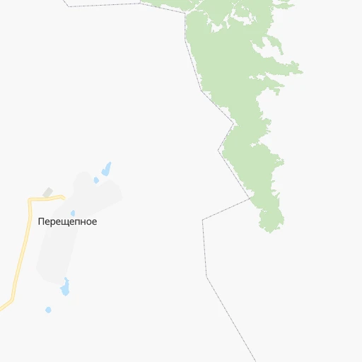
Location Kotel’nikovo (Volgograd Oblast) :
| Country flag | |
| Location | Kotel’nikovo |
| State | Volgograd Oblast |
| County | |
| Country | Russia |
| Country code / ISO 2 | RU |
| Latitude | 47.6300900 |
| Longitude | 43.1406800 |
| Altitude | 0 meters |
| Time zone | Europe/Volgograd |