


How to get from Goryachevodskiy (Stavropol’ Kray) to Armavir (Krasnodarskiy)
Calculate route from Goryachevodskiy (Stavropol’ Kray, Russia) to Armavir (Krasnodarskiy, Russia).
The flight distance (as the crow flies) between Goryachevodskiy and Armavir is 189.4 km.
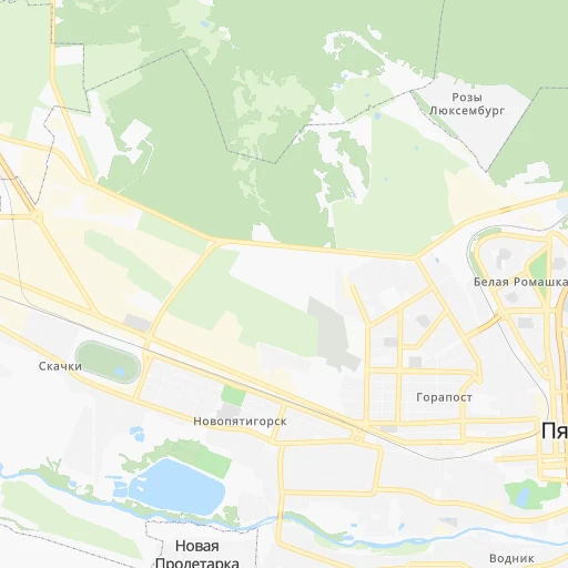
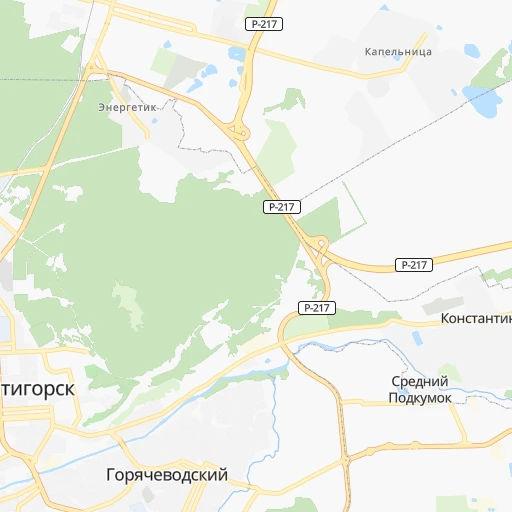
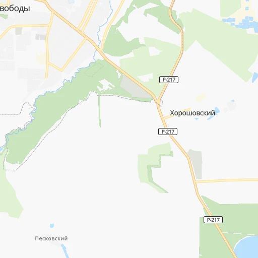
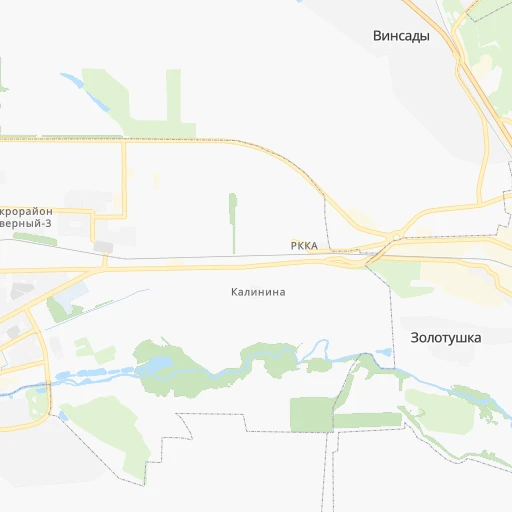
Roadmap (route) to go from Goryachevodskiy to Armavir detailed above, you can also see the course layout on the map.
While doing trip Goryachevodskiy - Armavir by car, the calculated route ends at a distance , or more straight.
Distance and duration of the route between Goryachevodskiy and Armavir
An error occured: undefined - for url https://router.cartes.cc/route?point=44.02361%2C43.09222&point=44.9892%2C41.1234&vehicle=car&debug=false&data_type=application%2Fjson&locale=en&points_encoded=true&instructions=true&elevation=false&optimize=false&timeout=10000&skip.host=true&skip.basePath=true&graphhopper_maps_host=https%3A%2F%2Fgraphhopper.com%2Fmaps%2F%3F&turn_sign_map.0=continue&turn_sign_map.1=turn%20slight%20right&turn_sign_map.2=turn%20right&turn_sign_map.3=turn%20sharp%20right&turn_sign_map.4=finish&turn_sign_map.5=reached%20via%20point&turn_sign_map.6=enter%20roundabout&turn_sign_map.-6=leave%20roundabout&turn_sign_map.-3=turn%20sharp%20left&turn_sign_map.-2=turn%20left&turn_sign_map.-1=turn%20slight%20left&key=&position=topleft
Calculation of distance and route from Armavir to Goryachevodskiy :
189.4214.1 km3h49mn
Continue onto Больничная улица 0h0mn 45 mTurn right onto Больничная улица 0h0mn 78 mTurn left onto улица Левадинский спуск 0h0mn 186 mTurn right onto улица Левадинский спуск 0h1mn 320 mTurn right onto Шоссейная улица 0h0mn 188 mTurn left onto проспект Советской Армии 0h1mn 666 mTurn right onto Теплосерная улица 0h3mn 2.7 kmTurn left onto «Кавказ» 0h1mn 1.3 kmContinue onto «Кавказ» 0h25mn 30.3 kmContinue onto «Кавказ» 1h12mn 94.3 kmAt roundabout, take exit 2 onto «Кавказ» 1h58mn 75.0 kmTurn right onto Шоссейная улица 0h7mn 7.2 kmTurn right onto улица Урицкого 0h1mn 1.2 kmTurn left onto улица Луначарского 0h1mn 690 mArrive at destination 0h0mn 0 m
Travel from Goryachevodskiy (Krasnodarskiy) to a selection of major cities.
Distances from Goryachevodskiy to biggest cities in Stavropol’ Kray
- Novopavlovsk,24,408 inhabitants.44 km
- Lermontov,23,369 inhabitants.13 km
Other major cities in country :
- Yaroslavl [88], 606,730 inhabitants. 1,531 km
- Barnaul [04], 599,579 inhabitants. 3,115 km
- Vladivostok [59], 587,022 inhabitants. 6,781 km
- Irkutsk [20], 586,695 inhabitants. 4,496 km
- Khabarovsk [30], 579,000 inhabitants. 6,651 km
- Khabarovsk Vtoroy [30], 578,303 inhabitants. 6,657 km
- Orenburg [55], 550,204 inhabitants. 1,241 km
- Novokuznetsk [29], 539,616 inhabitants. 3,337 km
- Ryazan' [62], 520,173 inhabitants. 1,205 km
- Tyumen [78], 519,119 inhabitants. 2,138 km
- Lipetsk [43], 515,655 inhabitants. 990 km
- Penza [57], 512,602 inhabitants. 1,031 km
- Naberezhnyye Chelny [73], 509,870 inhabitants. 1,461 km
- Kalininskiy [42], 504,641 inhabitants. 1,972 km
- Astrakhan [07], 502,533 inhabitants. 467 km
- Makhachkala [17], 497,959 inhabitants. 375 km
- Tomsk [75], 485,519 inhabitants. 3,223 km
- Kemerovo [29], 477,090 inhabitants. 3,279 km
- Tula [76], 468,825 inhabitants. 1,200 km
- Kirov [33], 457,383 inhabitants. 1,683 km
Route from Armavir to major cities (Russia).
- Distance Armavir Moscow1,223 km
- Distance Armavir Saint Petersburg1,813 km
- Distance Armavir Novosibirsk3,137 km
- Distance Armavir Yekaterinburg1,888 km
- Distance Armavir Nizhniy Novgorod1,278 km
- Distance Armavir Samara1,124 km
- Distance Armavir Omsk2,532 km
- Distance Armavir Kazan1,327 km
- Distance Armavir Rostov-na-Donu272 km
- Distance Armavir Chelyabinsk1,828 km
- Distance Armavir Ufa1,515 km
- Distance Armavir Volgograd488 km
- Distance Armavir Perm1,780 km
- Distance Armavir Krasnoyarsk3,762 km
- Distance Armavir Saratov814 km
- Distance Armavir Voronezh758 km
- Distance Armavir Tol'yatti1,121 km
- Distance Armavir Ulyanovsk1,162 km
- Distance Armavir Izhevsk1,564 km
- Distance Armavir Yaroslavl1,410 km
Nearest cities to Goryachevodskiy :
- Stavropol', 363,064 inhabitants. 144 km
- Vladikavkaz, 317,370 inhabitants. 168 km
- Nal'chik, 272,800 inhabitants. 72 km
- Groznyy, 226,100 inhabitants. 224 km
- Armavir, 199,548 inhabitants. 190 km
- Nazran', 164,131 inhabitants. 162 km
- Maykop, 144,055 inhabitants. 247 km
- Pyatigorsk, 142,865 inhabitants. 4 km
- Nevinnomyssk, 134,345 inhabitants. 114 km
- Kislovodsk, 132,771 inhabitants. 32 km
- Cherkessk, 116,224 inhabitants. 86 km
- Elista, 106,971 inhabitants. 270 km
- Yessentuki, 81,015 inhabitants. 19 km
- Kropotkin, 79,599 inhabitants. 254 km
- Mineralnye Vody, 76,280 inhabitants. 21 km
- Georgiyevsk, 72,649 inhabitants. 33 km
- Sunzha, 71,841 inhabitants. 176 km
- Budennovsk, 67,962 inhabitants. 120 km
- Tikhoretsk, 64,387 inhabitants. 310 km
- Labinsk, 61,945 inhabitants. 200 km
- Sal'sk, 61,000 inhabitants. 299 km
- Prokhladnyy, 60,800 inhabitants. 81 km
- Mikhaylovsk, 59,198 inhabitants. 149 km
- Kurganinsk, 47,681 inhabitants. 220 km
- Staryy Malgobek, 46,334 inhabitants. 132 km
- Malgobek, 43,400 inhabitants. 133 km
- Urus-Martan, 41,480 inhabitants. 221 km
- Zelenokumsk, 41,306 inhabitants. 76 km
- Mozdok, 40,823 inhabitants. 129 km
- Svetlograd, 39,727 inhabitants. 147 km
- Izobil'nyy, 39,022 inhabitants. 186 km
- Baksan, 37,519 inhabitants. 52 km
- Novokubansk, 36,401 inhabitants. 204 km
- Blagodarnyy, 35,995 inhabitants. 123 km
- Beslan, 35,604 inhabitants. 149 km
- Goryachevodskiy, 35,075 inhabitants. 0 km
- Gul'kevichi, 34,953 inhabitants. 241 km
- Karabulak, 34,511 inhabitants. 166 km
- Ust'-Dzheguta, 34,001 inhabitants. 90 km
- Nartkala, 33,390 inhabitants. 80 km
- Zernograd, 29,268 inhabitants. 382 km
- Ipatovo, 29,073 inhabitants. 189 km
- Inozemtsevo, 28,779 inhabitants. 8 km
- Kochubeyevskoye, 28,491 inhabitants. 121 km
- Argun, 28,100 inhabitants. 238 km
- Aleksandrovskoye, 28,006 inhabitants. 77 km
- Neftekumsk, 27,716 inhabitants. 172 km
- Novoaleksandrovsk, 27,610 inhabitants. 221 km
- Ekazhevo, 25,549 inhabitants. 166 km
- Mostovskoy, 25,188 inhabitants. 188 km
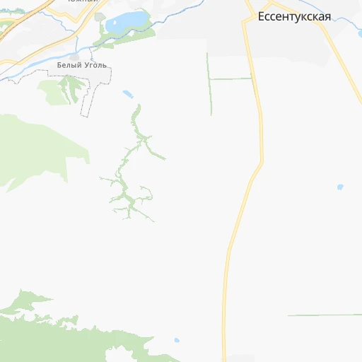
Location Goryachevodskiy (Stavropol’ Kray) :
| Country flag |  |
| Location | Goryachevodskiy |
| State | Stavropol’ Kray |
| County | |
| Country | Russia |
| Country code / ISO 2 | RU |
| Latitude | 44.0236100 |
| Longitude | 43.0922200 |
| Altitude | 0 meters |
| Time zone | Europe/Moscow |
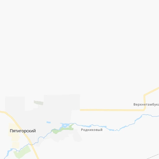
Location Armavir (Krasnodarskiy) :
| Country flag | |
| Location | Armavir |
| State | Krasnodarskiy |
| County | |
| Country | Russia |
| Country code / ISO 2 | RU |
| Latitude | 44.9892000 |
| Longitude | 41.1234000 |
| Altitude | 0 meters |
| Time zone | Europe/Moscow |


