

How to get from Võru (Võrumaa) to Keila (Harjumaa)
Calculate route from Võru (Võrumaa, Estonia) to Keila (Harjumaa, Estonia).
The flight distance (as the crow flies) between Võru and Keila is 222.4 km.
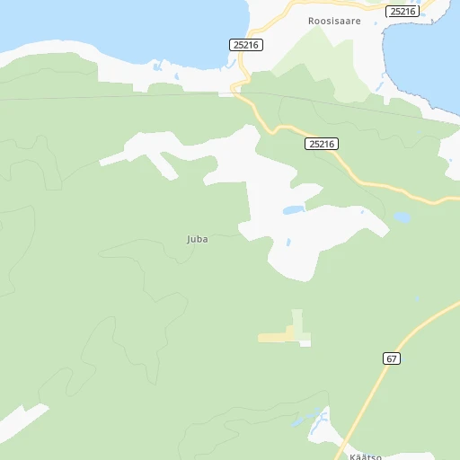
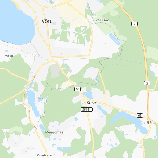
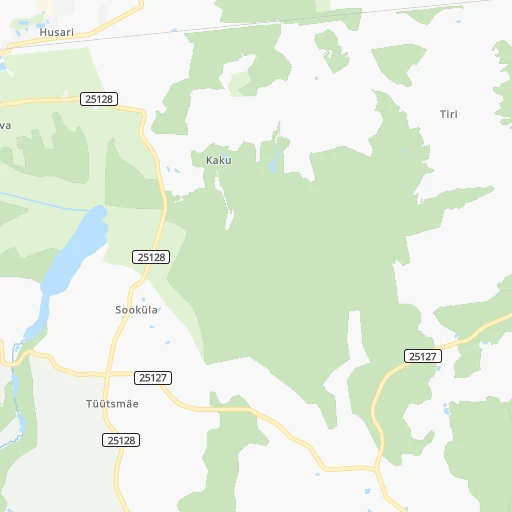
Roadmap (route) to go from Võru to Keila detailed above, you can also see the course layout on the map.
While doing trip Võru - Keila by car, the calculated route ends at a distance , or more straight.
Distance and duration of the route between Võru and Keila
An error occured: undefined - for url https://router.cartes.cc/route?point=57.83389%2C27.01944&point=59.30361%2C24.41306&vehicle=car&debug=false&data_type=application%2Fjson&locale=en&points_encoded=true&instructions=true&elevation=false&optimize=false&timeout=10000&skip.host=true&skip.basePath=true&graphhopper_maps_host=https%3A%2F%2Fgraphhopper.com%2Fmaps%2F%3F&turn_sign_map.0=continue&turn_sign_map.1=turn%20slight%20right&turn_sign_map.2=turn%20right&turn_sign_map.3=turn%20sharp%20right&turn_sign_map.4=finish&turn_sign_map.5=reached%20via%20point&turn_sign_map.6=enter%20roundabout&turn_sign_map.-6=leave%20roundabout&turn_sign_map.-3=turn%20sharp%20left&turn_sign_map.-2=turn%20left&turn_sign_map.-1=turn%20slight%20left&key=&position=topleft
Calculation of distance and route from Keila to Võru :
222.4265.0 km3h10mn
Continue onto Luha 0h1mn 650 mAt roundabout, take exit 1 0h1mn 680 mKeep left onto Jüri 0h0mn 36 mAt roundabout, take exit 2 onto Jüri 1h54mn 68.7 kmAt roundabout, take exit 2 onto Lääneringtee 0h1mn 1.4 kmAt roundabout, take exit 2 onto Tallinn — Tartu — Võru — Luhamaa 0h3mn 3.7 kmTurn left onto Tartu — Tiksoja 0h0mn 254 mContinue onto Tallinn — Tartu — Võru — Luhamaa 2h47mn 159.6 kmKeep right and take 11 toward Jüri 0h0mn 365 mAt roundabout, take exit 4 onto Tallinna ringtee 0h19mn 27.5 kmAt roundabout, take exit 2 onto Tallinn — Paldiski 0h0mn 245 mAt roundabout, take exit 3 onto Luha 0h1mn 663 mAt roundabout, take exit 2 onto Ülesõidu 0h1mn 492 mTurn right onto Tähe 0h1mn 706 mArrive at destination 0h0mn 0 m
Travel from Võru (Harjumaa) to a selection of major cities.
Distances from Võru to biggest cities in Võrumaa
Other major cities in country :
Route from Keila to major cities (Estonia).
- Distance Keila Tartu168 km
- Distance Keila Narva215 km
Nearest cities to Võru :
- Tallinn, 394,024 inhabitants. 222 km
- Tartu, 101,092 inhabitants. 63 km
- Narva, 66,980 inhabitants. 185 km
- Kohtla-Jaerve, 46,060 inhabitants. 175 km
- Paernu, 44,192 inhabitants. 161 km
- Viljandi, 20,309 inhabitants. 103 km
- Rakvere, 16,736 inhabitants. 173 km
- Sillamaee, 16,672 inhabitants. 179 km
- Maardu, 16,630 inhabitants. 217 km
- Voru, 14,631 inhabitants. 0 km
- Valga, 13,945 inhabitants. 58 km
- Johvi, 11,469 inhabitants. 171 km
- Paide, 9,735 inhabitants. 145 km
- Keila, 9,411 inhabitants. 223 km
- Kivioli, 6,953 inhabitants. 169 km
- Tapa, 6,551 inhabitants. 170 km
- Polva, 6,504 inhabitants. 25 km
- Jogeva, 6,396 inhabitants. 108 km
- Tueri, 6,138 inhabitants. 143 km
- Elva, 5,819 inhabitants. 56 km
- Rapla, 5,684 inhabitants. 184 km
- Saue, 5,022 inhabitants. 219 km
- Poltsamaa, 4,764 inhabitants. 110 km
- Saku, 4,548 inhabitants. 213 km
- Paldiski, 4,202 inhabitants. 242 km
- Laagri, 4,135 inhabitants. 219 km
- Sindi, 4,036 inhabitants. 152 km
- Kunda, 3,996 inhabitants. 186 km
- Rummu, 3,488 inhabitants. 229 km
- Loksa, 3,463 inhabitants. 208 km
- Kohila, 3,355 inhabitants. 198 km
- Kehra, 3,183 inhabitants. 194 km
- Torva, 3,112 inhabitants. 67 km
- Maerjamaa, 3,063 inhabitants. 192 km
Location Võru (Võrumaa) :
| Country flag |  |
| Location | Võru |
| State | Võrumaa |
| County | Võru linn |
| Country | Estonia |
| Country code / ISO 2 | EE |
| Latitude | 57.8338900 |
| Longitude | 27.0194400 |
| Altitude | 0 meters |
| Time zone | Europe/Tallinn |
Location Keila (Harjumaa) :
| Country flag | |
| Location | Keila |
| State | Harjumaa |
| County | Keila linn |
| Country | Estonia |
| Country code / ISO 2 | EE |
| Latitude | 59.3036100 |
| Longitude | 24.4130600 |
| Altitude | 0 meters |
| Time zone | Europe/Tallinn |