
How to get from K’ober (Lori) to Armavir (Armavir)
Calculate route from K’ober (Lori, Armenia) to Armavir (Armavir, Armenia).
The flight distance (as the crow flies) between K’ober and Armavir is 107.6 km.
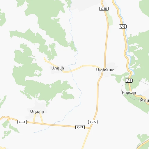
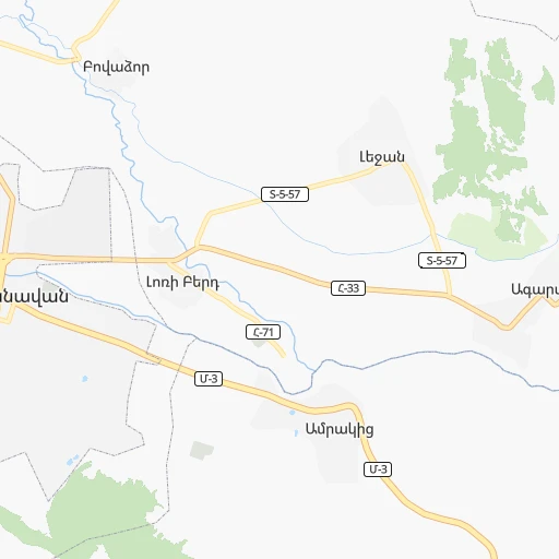
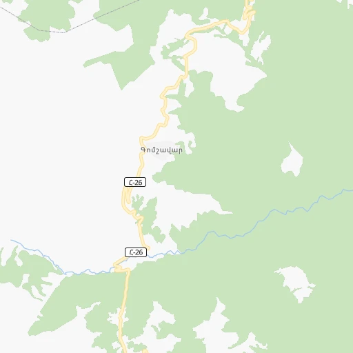
Roadmap (route) to go from K’ober to Armavir detailed above, you can also see the course layout on the map.
While doing trip K’ober - Armavir by car, the calculated route ends at a distance , or more straight.
Distance and duration of the route between K’ober and Armavir
An error occured: undefined - for url https://router.cartes.cc/route?point=41.00917%2C44.63634&point=40.15446%2C44.03815&vehicle=car&debug=false&data_type=application%2Fjson&locale=en&points_encoded=true&instructions=true&elevation=false&optimize=false&timeout=10000&skip.host=true&skip.basePath=true&graphhopper_maps_host=https%3A%2F%2Fgraphhopper.com%2Fmaps%2F%3F&turn_sign_map.0=continue&turn_sign_map.1=turn%20slight%20right&turn_sign_map.2=turn%20right&turn_sign_map.3=turn%20sharp%20right&turn_sign_map.4=finish&turn_sign_map.5=reached%20via%20point&turn_sign_map.6=enter%20roundabout&turn_sign_map.-6=leave%20roundabout&turn_sign_map.-3=turn%20sharp%20left&turn_sign_map.-2=turn%20left&turn_sign_map.-1=turn%20slight%20left&key=&position=topleft
Calculation of distance and route from Armavir to K’ober :
107.6168.2 km2h28mn
Continue onto Վանաձոր-Ալավերդի մայրուղի 1h46mn 50.6 kmAt roundabout, take exit 2 onto Սպիտակ-Վանաձոր մայրուղի 0h2mn 2.0 kmTurn left onto Ալեք Մանուկյանի փողոց 0h1mn 1.1 kmTurn right onto Սուրեն Ավետիսյանի փողոց 1h34mn 39.8 kmAt roundabout, take exit 1 onto Մ-3 0h0mn 57 mTurn slight right onto Մարշալ Բաղրամյան փողոց 0h25mn 29.3 kmTurn sharp left onto 3-րդ փողոց 0h1mn 1.0 kmTurn left onto 3-րդ փողոց 0h0mn 143 mTurn right onto 3-րդ փողոց 2-րդ փակ․ 0h0mn 80 mContinue onto 4 -րդ փողոց 0h3mn 3.0 kmAt roundabout, take exit 2 onto Ներսես Աշտարակեցու փողոց 0h1mn 1.6 kmAt roundabout, take exit 1 onto Սիսակյան փողոց 0h1mn 871 mTurn left onto Երևանյան փողոց 0h0mn 265 mKeep right onto Մ-3 0h0mn 357 mAt roundabout, take exit 2 onto Մ-3 0h12mn 14.4 kmKeep right 0h18mn 21.9 kmAt roundabout, take exit 1 onto Երևանյան փողոց 0h1mn 787 mTurn right onto Հանրապետության փողոց 0h1mn 986 mArrive at destination 0h0mn 0 m
Travel from K’ober (Armavir) to a selection of major cities.
Distances from K’ober to biggest cities in Lori
Other major cities in country :
Route from Armavir to major cities (Armenia).
Nearest cities to K’ober :
- Yerevan, 1,093,485 inhabitants. 93 km
- Gyumri, 148,381 inhabitants. 71 km
- Vanadzor, 101,098 inhabitants. 26 km
- Ejmiatsin, 49,513 inhabitants. 98 km
- Hrazdan, 40,795 inhabitants. 58 km
- Abovyan, 35,673 inhabitants. 82 km
- Kapan, 33,160 inhabitants. 251 km
- Ararat, 28,832 inhabitants. 131 km
- Armavir, 25,963 inhabitants. 108 km
- Step'anavan, 23,782 inhabitants. 21 km
- Gavarr, 21,680 inhabitants. 84 km
- Artashat, 20,562 inhabitants. 117 km
- Goris, 20,379 inhabitants. 221 km
- Masis, 18,911 inhabitants. 107 km
- Ashtarak, 18,779 inhabitants. 82 km
- Sevan, 17,083 inhabitants. 57 km
- Hats'avan, 15,208 inhabitants. 206 km
- Spitak, 15,059 inhabitants. 37 km
- Ijevan, 14,737 inhabitants. 45 km
- Dilijan, 13,478 inhabitants. 35 km
- Alaverdi, 13,184 inhabitants. 10 km
- Vedi, 12,192 inhabitants. 122 km
- Vardenis, 11,382 inhabitants. 130 km
- Martuni, 11,037 inhabitants. 112 km
- Yeghvard, 10,705 inhabitants. 77 km
- Metsamor, 8,789 inhabitants. 108 km
- Berd, 8,374 inhabitants. 65 km
- Yeghegnadzor, 8,200 inhabitants. 151 km
- Vardenik, 7,709 inhabitants. 119 km
- Akhuryan, 7,672 inhabitants. 67 km
- Tashir, 7,318 inhabitants. 32 km
- Nerk'in Getashen, 7,010 inhabitants. 110 km
- Byureghavan, 6,972 inhabitants. 77 km
- Garrni, 6,827 inhabitants. 99 km
- Sarukhan, 6,173 inhabitants. 90 km
- Chambarak, 6,153 inhabitants. 76 km
- Aparan, 5,670 inhabitants. 52 km
- Noratus, 5,426 inhabitants. 84 km
- Vayk', 5,419 inhabitants. 163 km
- Sardarapat, 5,348 inhabitants. 111 km
- Noyemberyan, 5,119 inhabitants. 35 km
- Karanlukh, 5,104 inhabitants. 115 km
- Mrgashat, 4,961 inhabitants. 108 km
- Maralik, 4,959 inhabitants. 81 km
- T'alin, 4,945 inhabitants. 94 km
- Nor Geghi, 4,896 inhabitants. 77 km
- Oshakan, 4,768 inhabitants. 87 km
- Metsavan, 4,767 inhabitants. 40 km
- Agarak, 4,707 inhabitants. 258 km
- Gugark', 4,705 inhabitants. 24 km
Location K’ober (Lori) :
| Country flag |  |
| Location | K’ober |
| State | Lori |
| County | |
| Country | Armenia |
| Country code / ISO 2 | AM |
| Latitude | 41.0091700 |
| Longitude | 44.6363400 |
| Altitude | 0 meters |
| Time zone | Asia/Yerevan |
Location Armavir (Armavir) :
| Country flag | |
| Location | Armavir |
| State | Armavir |
| County | |
| Country | Armenia |
| Country code / ISO 2 | AM |
| Latitude | 40.1544600 |
| Longitude | 44.0381500 |
| Altitude | 0 meters |
| Time zone | Asia/Yerevan |