

How to get from Satna (airport) (Madhya Pradesh) to Raebareli (Uttar Pradesh)
Calculate route from Satna (airport) (Madhya Pradesh, India) to Raebareli (Uttar Pradesh, India).
The flight distance (as the crow flies) between Satna (airport) and Raebareli is 189.3 km.
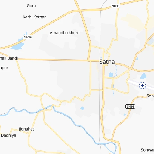
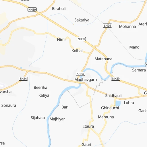
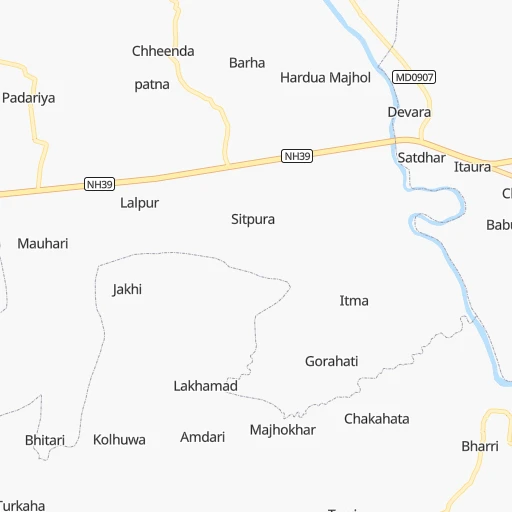
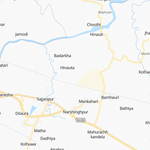
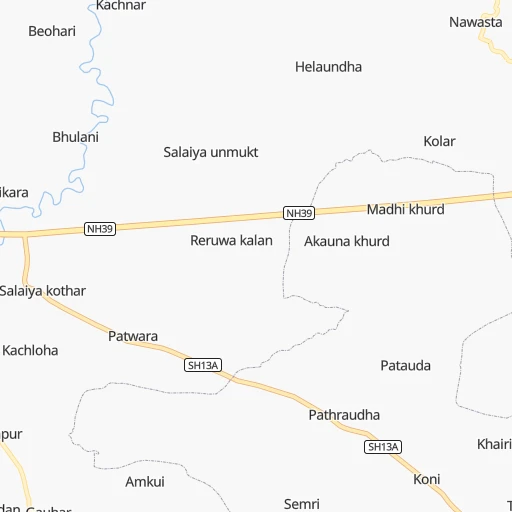
Roadmap (route) to go from Satna Airport to Raebareli detailed above, you can also see the course layout on the map.
While doing trip Satna (airport) - Raebareli by car, the calculated route ends at a distance , or more straight.
Distance and duration of the route between Satna (airport) and Raebareli
An error occured: undefined - for url https://router.cartes.cc/route?point=24.56232%2C80.85493&point=26.2309%2C81.23315&vehicle=car&debug=false&data_type=application%2Fjson&locale=en&points_encoded=true&instructions=true&elevation=false&optimize=false&timeout=10000&skip.host=true&skip.basePath=true&graphhopper_maps_host=https%3A%2F%2Fgraphhopper.com%2Fmaps%2F%3F&turn_sign_map.0=continue&turn_sign_map.1=turn%20slight%20right&turn_sign_map.2=turn%20right&turn_sign_map.3=turn%20sharp%20right&turn_sign_map.4=finish&turn_sign_map.5=reached%20via%20point&turn_sign_map.6=enter%20roundabout&turn_sign_map.-6=leave%20roundabout&turn_sign_map.-3=turn%20sharp%20left&turn_sign_map.-2=turn%20left&turn_sign_map.-1=turn%20slight%20left&key=&position=topleft
Calculation of distance and route from Raebareli to Satna (airport) :
189.3230.0 km4h32mn
Continue 0h1mn 374 mTurn left 0h0mn 84 mTurn right 0h0mn 239 mTurn left 0h0mn 16 mKeep right 0h0mn 55 mTurn left 0h0mn 127 mTurn sharp right 0h0mn 44 mTurn sharp left 0h1mn 761 mAt roundabout, take exit 2 0h1mn 1.4 kmContinue onto NH135BG 0h1mn 1.1 kmTurn right onto NH135BG 0h19mn 21.9 kmAt roundabout, take exit 2 onto NH135BG 0h15mn 17.8 kmKeep right 0h4mn 4.2 kmTurn slight right onto NH135BG 1h32mn 37.5 kmTurn right onto NH35 0h3mn 3.9 kmTurn left onto NH731A 0h1mn 755 mTurn sharp left 0h8mn 8.3 kmTurn left 0h20mn 20.3 kmTurn slight right onto NH731A 0h1mn 853 mKeep left onto NH731A 0h1mn 984 mTurn sharp right onto NH731A 0h9mn 10.0 kmTurn left 0h11mn 10.8 kmTurn right 0h0mn 72 mTurn left 0h1mn 275 mTurn right 0h1mn 612 mTurn left 0h0mn 354 mTurn slight right onto Sirathu-Dhata Road 1h33mn 32.7 kmTurn left onto NH30 1h40mn 46.5 kmKeep left onto NH30 0h2mn 2.5 kmContinue onto NH30, NH31 0h1mn 1.1 kmKeep left onto MDR68C 0h3mn 2.9 kmKeep right onto Bus Stop road 0h0mn 64 mTurn slight right onto Bus Stop road 0h1mn 1.0 kmTurn right 0h0mn 42 mTurn slight right 0h0mn 8 mTurn left 0h0mn 115 mKeep right 0h0mn 51 mArrive at destination 0h0mn 0 m
Travel from Satna (airport) (Uttar Pradesh) to a selection of major cities.
Distances from Satna Airport to biggest cities in Madhya Pradesh
- Chhindwara,134,847 inhabitants.341 km
- Mandsaur,124,988 inhabitants.589 km
- Damoh,118,776 inhabitants.165 km
- Chhatarpur,111,594 inhabitants.134 km
- Hoshangabad,109,358 inhabitants.377 km
- Nagda,103,501 inhabitants.566 km
- Seoni,101,379 inhabitants.306 km
- Itarsi,100,574 inhabitants.383 km
- Sehore,99,284 inhabitants.413 km
- Khargone,94,985 inhabitants.617 km
- Betul,91,953 inhabitants.423 km
- Datia,90,628 inhabitants.271 km
- Shahdol,89,289 inhabitants.150 km
- Dhar,82,438 inhabitants.608 km
- Balaghat,80,360 inhabitants.313 km
- Tikamgarh,74,724 inhabitants.206 km
- Basoda,69,278 inhabitants.307 km
- Pithampur,68,051 inhabitants.570 km
- Harda Khas,67,387 inhabitants.456 km
- Jaora,67,203 inhabitants.591 km
Other major cities in country :
- Nashik [16], 1,289,497 inhabitants. 887 km
- Pimpri [16], 1,284,606 inhabitants. 984 km
- Kalyan [16], 1,262,255 inhabitants. 993 km
- Thane [16], 1,261,517 inhabitants. 1,010 km
- Meerut [36], 1,223,184 inhabitants. 583 km
- Nowrangapur [21], 1,220,946 inhabitants. 619 km
- Faridabad [10], 1,220,229 inhabitants. 555 km
- Ghaziabad [36], 1,199,191 inhabitants. 569 km
- Dombivli [16], 1,193,000 inhabitants. 999 km
- Rajkot [09], 1,177,362 inhabitants. 1,058 km
- Varanasi [36], 1,164,404 inhabitants. 233 km
- Amritsar [23], 1,092,450 inhabitants. 981 km
- Allahabad [36], 1,073,438 inhabitants. 140 km
- Visakhapatnam [02], 1,063,178 inhabitants. 804 km
- Teni [25], 1,034,724 inhabitants. 1,659 km
- Haora [28], 1,027,672 inhabitants. 793 km
- Aurangabad [16], 1,016,441 inhabitants. 771 km
- Shivaji Nagar [16], 1,000,000 inhabitants. 988 km
- Solapur [16], 997,281 inhabitants. 923 km
- Srinagar [12], 975,857 inhabitants. 1,211 km
Route from Raebareli to major cities (India).
- Distance Raebareli Mumbai1,170 km
- Distance Raebareli Delhi478 km
- Distance Raebareli Bengaluru1,524 km
- Distance Raebareli Kolkata830 km
- Distance Raebareli Chennai1,466 km
- Distance Raebareli Ahmedabad945 km
- Distance Raebareli Hyderabad1,026 km
- Distance Raebareli Pune1,146 km
- Distance Raebareli Surat1,023 km
- Distance Raebareli Jaipur547 km
- Distance Raebareli Navi Mumbai1,163 km
- Distance Raebareli Nagpur607 km
- Distance Raebareli Indore672 km
- Distance Raebareli Patna397 km
- Distance Raebareli Bhopal510 km
- Distance Raebareli Ludhiana740 km
- Distance Raebareli Tirunelveli1,984 km
- Distance Raebareli Vadodara924 km
- Distance Raebareli Gorakhpur654 km
- Distance Raebareli Nashik1,030 km
Nearest cities to Satna (airport) :
- Kanpur, 2,823,249 inhabitants. 218 km
- Lucknow, 2,472,011 inhabitants. 254 km
- Agra, 1,430,055 inhabitants. 407 km
- Varanasi, 1,164,404 inhabitants. 233 km
- Allahabad, 1,073,438 inhabitants. 140 km
- Jabalpur, 1,030,168 inhabitants. 181 km
- Gwalior, 882,458 inhabitants. 327 km
- Gorakhpur, 674,246 inhabitants. 352 km
- Korba, 419,146 inhabitants. 310 km
- Jhansi, 412,927 inhabitants. 250 km
- Firozabad, 306,409 inhabitants. 379 km
- Bilaspur, 282,705 inhabitants. 307 km
- Satna, 257,778 inhabitants. 3 km
- Etawah, 257,448 inhabitants. 308 km
- Saugor, 247,333 inhabitants. 229 km
- Mau, 246,050 inhabitants. 313 km
- Farrukhabad, 241,152 inhabitants. 340 km
- Mirzapur, 220,029 inhabitants. 185 km
- Rewa, 208,461 inhabitants. 44 km
- Murwara, 195,856 inhabitants. 93 km
- Raebareli, 186,433 inhabitants. 190 km
- Singrauli, 185,580 inhabitants. 189 km
- Bhind, 174,035 inhabitants. 305 km
- Jaunpur, 169,572 inhabitants. 227 km
- Fatehpur, 166,480 inhabitants. 152 km
- Sitapur, 164,435 inhabitants. 334 km
- Unnao, 161,671 inhabitants. 224 km
- Orai, 158,265 inhabitants. 213 km
- Fyzabad, 153,047 inhabitants. 279 km
- Banda, 152,218 inhabitants. 115 km
- Morena, 152,004 inhabitants. 359 km
- Chhindwara, 134,847 inhabitants. 341 km
- Gonda City, 133,583 inhabitants. 306 km
- Deoria, 129,570 inhabitants. 365 km
- Lalitpur, 126,475 inhabitants. 247 km
- Hardoi, 122,635 inhabitants. 324 km
- Raigarh, 121,278 inhabitants. 394 km
- Damoh, 118,776 inhabitants. 165 km
- Azamgarh, 116,644 inhabitants. 288 km
- Basti, 115,115 inhabitants. 310 km
- Chhatarpur, 111,594 inhabitants. 134 km
- Sultanpur, 110,368 inhabitants. 225 km
- Ghazipur, 103,095 inhabitants. 298 km
- Dhaulpur, 102,462 inhabitants. 381 km
- Seoni, 101,379 inhabitants. 306 km
- Shikohabad, 99,678 inhabitants. 363 km
- Mughal Sarai, 98,043 inhabitants. 242 km
- Mainpuri, 94,619 inhabitants. 349 km
- Betul, 91,953 inhabitants. 423 km
- Datia, 90,628 inhabitants. 271 km
Location Satna (airport) (Madhya Pradesh) :
| Country flag |  |
| Location | Satna (airport) |
| State | Madhya Pradesh |
| County | Satna |
| Country | India |
| Country code / ISO 2 | IN |
| Latitude | 24.5623200 |
| Longitude | 80.8549300 |
| Altitude | 323 meters |
| Time zone | Asia/Kolkata |
Location Raebareli (Uttar Pradesh) :
| Country flag | |
| Location | Raebareli |
| State | Uttar Pradesh |
| County | Rāe Bareli |
| Country | India |
| Country code / ISO 2 | IN |
| Latitude | 26.2309000 |
| Longitude | 81.2331500 |
| Altitude | 0 meters |
| Time zone | Asia/Kolkata |