
How to get from Ristimaki (Pirkanmaa) to Forssa (Tavastia Proper)
Calculate route from Ristimaki (Pirkanmaa, Finland) to Forssa (Tavastia Proper, Finland).
The flight distance (as the crow flies) between Ristimaki and Forssa is 159.1 km.
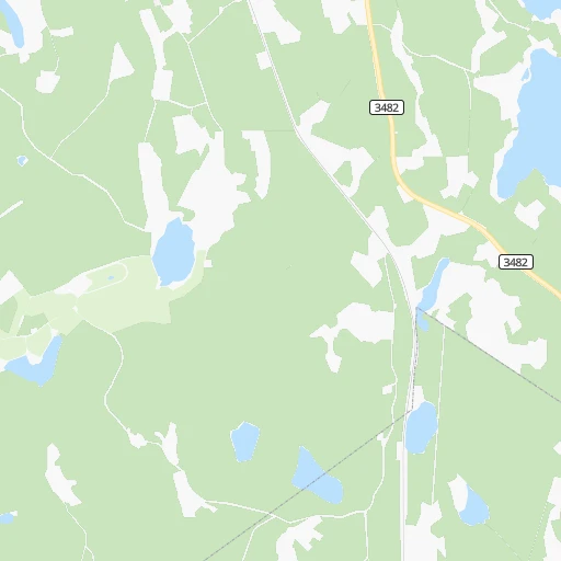
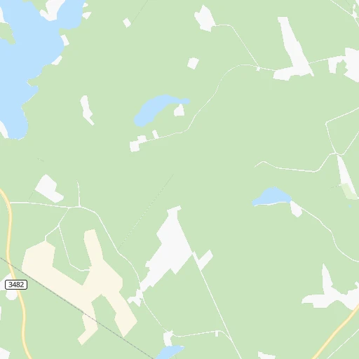
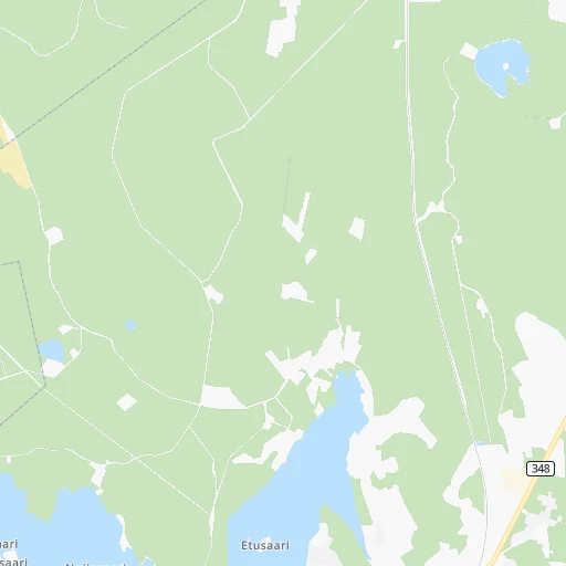
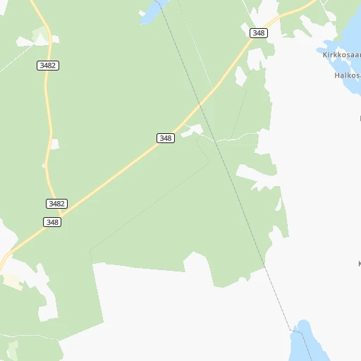
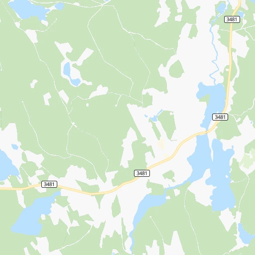
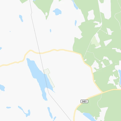
Roadmap (route) to go from Ristimaki to Forssa detailed above, you can also see the course layout on the map.
While doing trip Ristimaki - Forssa by car, the calculated route ends at a distance , or more straight.
Distance and duration of the route between Ristimaki and Forssa
An error occured: undefined - for url https://router.cartes.cc/route?point=62.18333%2C24.5&point=60.81462%2C23.62146&vehicle=car&debug=false&data_type=application%2Fjson&locale=en&points_encoded=true&instructions=true&elevation=false&optimize=false&timeout=10000&skip.host=true&skip.basePath=true&graphhopper_maps_host=https%3A%2F%2Fgraphhopper.com%2Fmaps%2F%3F&turn_sign_map.0=continue&turn_sign_map.1=turn%20slight%20right&turn_sign_map.2=turn%20right&turn_sign_map.3=turn%20sharp%20right&turn_sign_map.4=finish&turn_sign_map.5=reached%20via%20point&turn_sign_map.6=enter%20roundabout&turn_sign_map.-6=leave%20roundabout&turn_sign_map.-3=turn%20sharp%20left&turn_sign_map.-2=turn%20left&turn_sign_map.-1=turn%20slight%20left&key=&position=topleft
Calculation of distance and route from Forssa to Ristimaki :
159.1189.1 km3h46mn
Continue 0h0mn 21 mTurn right 0h5mn 1.3 kmTurn left onto Harjunpääntie 0h5mn 2.5 kmTurn left onto Harjunpääntie 0h0mn 43 mTurn right onto Keuruuntie 0h21mn 24.6 kmTurn right onto Orivedentie 0h26mn 33.8 kmAt roundabout, take exit 1 0h0mn 239 mTurn slight right onto Tampereentie 1h34mn 42.3 kmKeep right onto 9 and take 3, 9 toward Helsinki, Turku, Tampere 0h0mn 242 mKeep left onto 9 and take 3, 9, E12, E63 toward Helsinki, Turku 0h1mn 1.4 kmKeep left onto 3, 9 0h9mn 13.8 kmKeep right and drive toward Lempäälä 0h3mn 3.1 kmAt roundabout, take exit 2 onto Turuntie 0h13mn 15.0 kmTurn left 0h0mn 268 mContinue onto Tampereenväylä 0h6mn 8.2 kmTurn left onto Asemanraitti 0h3mn 2.1 kmTurn slight right onto Jokikulmantie 0h5mn 5.7 kmTurn right onto Toijalantie 0h2mn 1.4 kmTurn left onto Huhdintie 1h31mn 31.9 kmAt roundabout, take exit 1 onto Kartanonkatu 0h1mn 738 mTurn right onto Wahreninkatu 0h0mn 49 mTurn left 0h0mn 43 mTurn right 0h0mn 46 mArrive at destination 0h0mn 0 m
Travel from Ristimaki (Tavastia Proper) to a selection of major cities.
Distances from Ristimaki to biggest cities in Pirkanmaa
Other major cities in country :
Route from Forssa to major cities (Finland).
- Distance Forssa Helsinki102 km
- Distance Forssa Espoo88 km
- Distance Forssa Tampere77 km
- Distance Forssa Vantaa97 km
- Distance Forssa Turku84 km
- Distance Forssa Oulu477 km
- Distance Forssa Lahti112 km
- Distance Forssa Kuopio314 km
- Distance Forssa Jyvaeskylae194 km
- Distance Forssa Pori124 km
- Distance Forssa Lappeenranta248 km
- Distance Forssa Vaasa275 km
- Distance Forssa Kotka186 km
- Distance Forssa Joensuu380 km
Nearest cities to Ristimaki :
- Helsinki, 558,457 inhabitants. 225 km
- Espoo, 256,760 inhabitants. 220 km
- Tampere, 202,687 inhabitants. 85 km
- Vantaa, 190,058 inhabitants. 212 km
- Turku, 175,945 inhabitants. 227 km
- Oulu, 128,618 inhabitants. 319 km
- Lahti, 98,826 inhabitants. 147 km
- Jyvaeskylae, 85,026 inhabitants. 64 km
- Pori, 76,772 inhabitants. 163 km
- Vaasa, 57,014 inhabitants. 179 km
- Kotka, 54,616 inhabitants. 231 km
- Haemeenlinna, 47,261 inhabitants. 132 km
- Porvoo, 47,192 inhabitants. 209 km
- Mikkeli, 46,550 inhabitants. 155 km
- Hyvinge, 43,515 inhabitants. 174 km
- Jaervenpaeae, 38,148 inhabitants. 193 km
- Nurmijaervi, 37,073 inhabitants. 192 km
- Rauma, 36,550 inhabitants. 197 km
- Mellunkylae, 36,360 inhabitants. 219 km
- Lohja, 35,960 inhabitants. 217 km
- Vuosaari, 35,826 inhabitants. 222 km
- Kokkola, 35,586 inhabitants. 197 km
- Tuusula, 34,725 inhabitants. 200 km
- Kirkkonummi, 32,920 inhabitants. 229 km
- Seinaejoki, 32,149 inhabitants. 110 km
- Kerava, 31,347 inhabitants. 201 km
- Kouvola, 31,133 inhabitants. 187 km
- Nokia, 28,676 inhabitants. 96 km
- Kallio, 27,051 inhabitants. 224 km
- Riihimaeki, 26,451 inhabitants. 162 km
- Kaarela, 26,414 inhabitants. 216 km
- Vihti, 26,280 inhabitants. 197 km
- Salo, 24,900 inhabitants. 213 km
- Kangasala, 24,291 inhabitants. 83 km
- Raisio, 23,597 inhabitants. 226 km
- Karhula, 22,867 inhabitants. 226 km
- Iisalmi, 22,588 inhabitants. 205 km
- Raahe, 22,217 inhabitants. 278 km
- Yloejaervi, 22,140 inhabitants. 84 km
- Hamina, 21,712 inhabitants. 230 km
- Kaarina, 21,684 inhabitants. 228 km
- Heinola, 20,849 inhabitants. 136 km
- Hollola, 20,405 inhabitants. 135 km
- Valkeakoski, 20,376 inhabitants. 105 km
- Lauttasaari, 20,000 inhabitants. 226 km
- Sibbo, 19,430 inhabitants. 205 km
- Jakobstad, 19,238 inhabitants. 189 km
- Lempaeaelae, 18,096 inhabitants. 104 km
- Maentsaelae, 18,074 inhabitants. 178 km
- Forssa, 17,852 inhabitants. 159 km
Location Ristimaki (Pirkanmaa) :
| Country flag |  |
| Location | Ristimaki |
| State | Pirkanmaa |
| County | Ylä-Pirkanmaa |
| Country | Finland |
| Country code / ISO 2 | FI |
| Latitude | 62.1833300 |
| Longitude | 24.5000000 |
| Altitude | 0 meters |
| Time zone | Europe/Helsinki |
Location Forssa (Tavastia Proper) :
| Country flag | |
| Location | Forssa |
| State | Tavastia Proper |
| County | Forssa |
| Country | Finland |
| Country code / ISO 2 | FI |
| Latitude | 60.8146200 |
| Longitude | 23.6214600 |
| Altitude | 0 meters |
| Time zone | Europe/Helsinki |

