
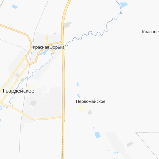
How to get from Gvardeyskoye (Republic of Crimea) to Poltava (Poltava)
Calculate route from Gvardeyskoye (Republic of Crimea, Ukraine) to Poltava (Poltava, Ukraine).
The flight distance (as the crow flies) between Gvardeyskoye and Poltava is 499.0 km.
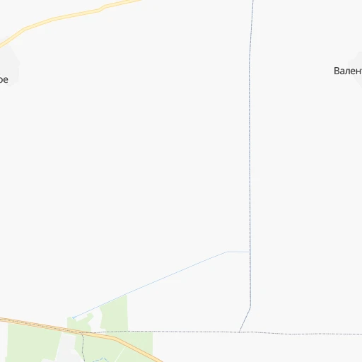
Roadmap (route) to go from Gvardeyskoye to Poltava detailed above, you can also see the course layout on the map.
While doing trip Gvardeyskoye - Poltava by car, the calculated route ends at a distance , or more straight.
Distance and duration of the route between Gvardeyskoye and Poltava
An error occured: undefined - for url https://router.cartes.cc/route?point=45.11692%2C34.02188&point=49.59373%2C34.54073&vehicle=car&debug=false&data_type=application%2Fjson&locale=en&points_encoded=true&instructions=true&elevation=false&optimize=false&timeout=10000&skip.host=true&skip.basePath=true&graphhopper_maps_host=https%3A%2F%2Fgraphhopper.com%2Fmaps%2F%3F&turn_sign_map.0=continue&turn_sign_map.1=turn%20slight%20right&turn_sign_map.2=turn%20right&turn_sign_map.3=turn%20sharp%20right&turn_sign_map.4=finish&turn_sign_map.5=reached%20via%20point&turn_sign_map.6=enter%20roundabout&turn_sign_map.-6=leave%20roundabout&turn_sign_map.-3=turn%20sharp%20left&turn_sign_map.-2=turn%20left&turn_sign_map.-1=turn%20slight%20left&key=&position=topleft
Calculation of distance and route from Poltava to Gvardeyskoye :
499.0633.7 km10h35mn
Continue 0h0mn 113 mTurn right onto улица Карла Маркса 0h1mn 1.2 kmTurn right 0h2mn 2.2 kmKeep left 0h0mn 21 mTurn sharp left onto 35А-002, М-18 1h1mn 73.1 kmContinue onto 35А-002, М-18 2h3mn 150.0 kmAt roundabout, take exit 2 onto Богдана Хмельницького проспект 0h5mn 4.2 kmContinue onto 50 років Перемоги проспект 0h2mn 2.3 kmTurn slight right onto 50 років Перемоги проспект 0h0mn 327 mTurn right onto Олександра Тишлера провулок 0h2mn 1.5 kmTurn left onto Незалежності вулиця 0h1mn 539 mTurn right onto Суворова вулиця 0h0mn 72 mTurn right onto Т-04-01 0h16mn 15.8 kmTurn left onto Т-04-01 1h34mn 38.9 kmAt roundabout, take exit 2 onto Гоголя вулиця 0h0mn 437 mAt roundabout, take exit 3 onto Гоголя вулиця 1h32mn 31.2 kmContinue onto Н-08, Т-04-08 0h6mn 5.3 kmTurn left onto Овчаренка вулиця 0h5mn 3.7 kmTurn right onto Запорізька вулиця 0h0mn 435 mAt roundabout, take exit 2 onto Н-08 1h44mn 50.9 kmTurn right onto М-18 1h29mn 101.6 kmTurn right onto Гетьманська вулиця 0h0mn 202 mTurn left 0h1mn 382 mTurn right onto вулиця Гавриїла Зелінського 0h1mn 598 mTurn left onto вулиця Сучкова 0h2mn 2.1 kmTurn right onto Спаська вулиця 0h12mn 12.2 kmTurn right onto вулиця Козинця 0h9mn 8.4 kmTurn slight left onto О040410 0h23mn 26.0 kmKeep right onto Центральна вулиця 0h10mn 13.9 kmKeep left onto О040708 0h7mn 5.1 kmTurn slight right onto Центральна вулиця 0h4mn 4.3 kmTurn right onto Т-04-12 0h2mn 1.7 kmTurn left onto вулиця Гончара 0h1mn 377 mKeep left onto вулиця Гончара 0h0mn 81 mKeep right onto вулиця Гончара 0h1mn 257 mContinue onto вулиця Миру 0h3mn 3.0 kmTurn right onto О-1714197 1h39mn 39.2 kmAt roundabout, take exit 2 onto О-1719372 0h13mn 15.9 kmTurn sharp left 0h10mn 6.2 kmTurn right onto Робітнича вулиця 0h2mn 1.3 kmTurn left onto М-03 0h1mn 1.2 kmKeep right and drive toward Суми 0h3mn 2.6 kmMake a U-turn onto проспект Миру 0h0mn 115 mTurn right onto вулиця Небесної Сотні 0h1mn 516 mTurn slight right onto вулиця Небесної Сотні 0h2mn 1.7 kmTurn left 0h3mn 2.0 kmTurn right onto вулиця Української Повстанської Армії 0h0mn 209 mTurn right onto вулиця Капітана Володимира Кісельова 0h0mn 9 mTurn left onto вулиця Української Повстанської Армії 0h0mn 176 mTurn right onto вулиця Соборності 0h0mn 74 mTurn right 0h0mn 38 mTurn left 0h0mn 66 mArrive at destination 0h0mn 0 m
Travel from Gvardeyskoye (Poltava) to a selection of major cities.
Distances from Gvardeyskoye to biggest cities in Republic of Crimea
Other major cities in country :
- Zhytomyr [27], 282,192 inhabitants. 699 km
- Horlivka [05], 278,550 inhabitants. 472 km
- Rivne [19], 255,106 inhabitants. 844 km
- Kropyvnytskyi [10], 249,454 inhabitants. 401 km
- Kamianske [04], 248,575 inhabitants. 380 km
- Chernivtsi [03], 236,250 inhabitants. 710 km
- Ternopil [22], 235,676 inhabitants. 805 km
- Kremenchuk [18], 227,494 inhabitants. 442 km
- Lutsk [24], 213,661 inhabitants. 901 km
- Ivano-Frankivsk [06], 204,200 inhabitants. 823 km
- Bila Tserkva [13], 199,163 inhabitants. 599 km
- Kramators'k [05], 173,700 inhabitants. 483 km
- Melitopol [26], 158,000 inhabitants. 219 km
- Nikopol [04], 130,500 inhabitants. 275 km
- Syevyerodonets'k [14], 130,000 inhabitants. 545 km
- Sloviansk [05], 124,800 inhabitants. 499 km
- Berdyansk [26], 118,284 inhabitants. 283 km
- Uzhgorod [25], 117,878 inhabitants. 972 km
- Alchevs'k [14], 116,000 inhabitants. 522 km
- Pavlohrad [04], 115,932 inhabitants. 406 km
Route from Poltava to major cities (Ukraine).
- Distance Poltava Kyiv303 km
- Distance Poltava Kharkiv130 km
- Distance Poltava Dnipro131 km
- Distance Poltava Donetsk296 km
- Distance Poltava Odessa448 km
- Distance Poltava Zaporizhia203 km
- Distance Poltava Lviv757 km
- Distance Poltava Kryvyi Rih206 km
- Distance Poltava Mykolayiv348 km
- Distance Poltava Mariupol356 km
- Distance Poltava Luhansk366 km
- Distance Poltava Sevastopol562 km
- Distance Poltava Khmelnytskyi545 km
- Distance Poltava Makiyivka302 km
- Distance Poltava Vinnytsia441 km
- Distance Poltava Simferopol517 km
- Distance Poltava Kherson357 km
- Distance Poltava Chernihiv314 km
- Distance Poltava Cherkasy180 km
- Distance Poltava Sumy149 km
Nearest cities to Gvardeyskoye :
- Zaporizhia, 796,217 inhabitants. 314 km
- Kryvyi Rih, 652,380 inhabitants. 315 km
- Mykolayiv, 510,840 inhabitants. 259 km
- Sevastopol, 416,263 inhabitants. 71 km
- Simferopol, 336,460 inhabitants. 19 km
- Kherson, 320,477 inhabitants. 203 km
- Melitopol, 158,000 inhabitants. 219 km
- Kerch, 148,932 inhabitants. 194 km
- Nikopol, 130,500 inhabitants. 275 km
- Berdyansk, 118,284 inhabitants. 283 km
- Yevpatoriya, 106,202 inhabitants. 52 km
- Yalta, 77,003 inhabitants. 69 km
- Feodosiya, 68,562 inhabitants. 107 km
- Energodar, 55,800 inhabitants. 270 km
- Nova Kakhovka, 50,672 inhabitants. 190 km
- Marhanets', 50,443 inhabitants. 284 km
- Voznesensk, 42,248 inhabitants. 342 km
- Dzhankoy, 41,731 inhabitants. 72 km
- Yuzhnoukrains'k, 39,430 inhabitants. 371 km
- Kakhovka, 36,816 inhabitants. 193 km
- Tokmak, 34,926 inhabitants. 271 km
- Dolyns'ka, 34,267 inhabitants. 347 km
- Krasnoperekops'k, 30,700 inhabitants. 95 km
- Alushta, 29,586 inhabitants. 58 km
- Tsyurupyns'k, 28,800 inhabitants. 195 km
- Saki, 28,322 inhabitants. 33 km
- Bakhchisaray, 27,351 inhabitants. 42 km
- Yuzhne, 25,000 inhabitants. 282 km
- Armyansk, 24,442 inhabitants. 113 km
- Heniches'k, 21,663 inhabitants. 133 km
- Polohy, 21,380 inhabitants. 314 km
- Dniprorudne, 20,271 inhabitants. 263 km
- Skadovs'k, 19,404 inhabitants. 141 km
- Balaklava, 18,649 inhabitants. 75 km
- Orikhiv, 17,287 inhabitants. 305 km
- Sudak, 16,597 inhabitants. 81 km
- Hulyaypole, 16,442 inhabitants. 331 km
- Belogorsk, 16,428 inhabitants. 46 km
- Ochakiv, 16,300 inhabitants. 254 km
- Hola Prystan', 16,102 inhabitants. 195 km
- Apostolove, 15,828 inhabitants. 284 km
- Novyy Buh, 15,646 inhabitants. 309 km
- Vasylivka, 15,012 inhabitants. 276 km
- Beryslav, 14,880 inhabitants. 197 km
- Snihurivka, 14,873 inhabitants. 237 km
- Prymors'k, 13,900 inhabitants. 254 km
- Nova Odesa, 13,547 inhabitants. 299 km
- Mykhaylivka, 13,216 inhabitants. 257 km
- Bashtanka, 12,657 inhabitants. 283 km
- Gvardeyskoye, 12,589 inhabitants. 0 km
Location Gvardeyskoye (Republic of Crimea) :
| Country flag |  |
| Location | Gvardeyskoye |
| State | Republic of Crimea |
| County | Simferopol Raion |
| Country | Ukraine |
| Country code / ISO 2 | UA |
| Latitude | 45.1169200 |
| Longitude | 34.0218800 |
| Altitude | 146 meters |
| Time zone | Europe/Simferopol |
Location Poltava (Poltava) :
| Country flag | |
| Location | Poltava |
| State | Poltava |
| County | |
| Country | Ukraine |
| Country code / ISO 2 | UA |
| Latitude | 49.5937300 |
| Longitude | 34.5407300 |
| Altitude | 0 meters |
| Time zone | Europe/Kiev |


