


How to get from Balaklava (Sevastopol City) to Sloviansk (Donetsk)
Calculate route from Balaklava (Sevastopol City, Ukraine) to Sloviansk (Donetsk, Ukraine).
The flight distance (as the crow flies) between Balaklava and Sloviansk is 572.5 km.
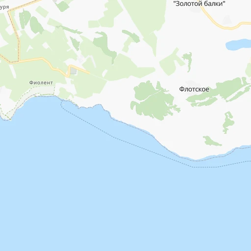
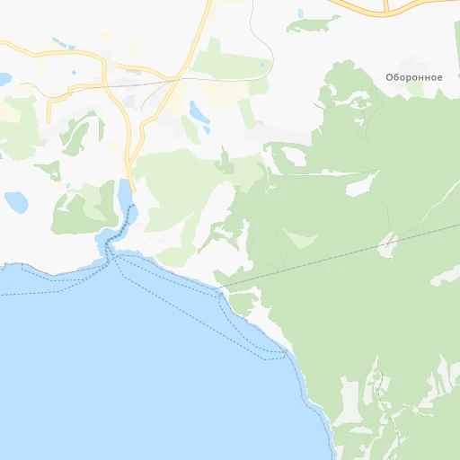
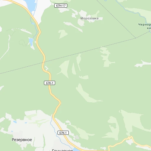
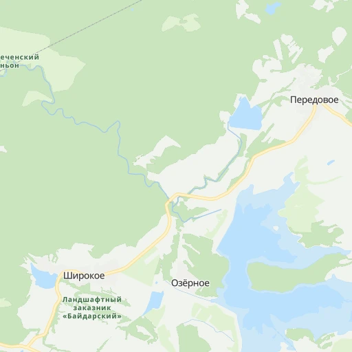
Roadmap (route) to go from Balaklava to Sloviansk detailed above, you can also see the course layout on the map.
While doing trip Balaklava - Sloviansk by car, the calculated route ends at a distance , or more straight.
Distance and duration of the route between Balaklava and Sloviansk
An error occured: undefined - for url https://router.cartes.cc/route?point=44.51118%2C33.59942&point=48.86667%2C37.61667&vehicle=car&debug=false&data_type=application%2Fjson&locale=en&points_encoded=true&instructions=true&elevation=false&optimize=false&timeout=10000&skip.host=true&skip.basePath=true&graphhopper_maps_host=https%3A%2F%2Fgraphhopper.com%2Fmaps%2F%3F&turn_sign_map.0=continue&turn_sign_map.1=turn%20slight%20right&turn_sign_map.2=turn%20right&turn_sign_map.3=turn%20sharp%20right&turn_sign_map.4=finish&turn_sign_map.5=reached%20via%20point&turn_sign_map.6=enter%20roundabout&turn_sign_map.-6=leave%20roundabout&turn_sign_map.-3=turn%20sharp%20left&turn_sign_map.-2=turn%20left&turn_sign_map.-1=turn%20slight%20left&key=&position=topleft
Calculation of distance and route from Sloviansk to Balaklava :
572.5664.2 km10h22mn
Continue 0h0mn 40 mTurn left 0h0mn 33 mTurn right 0h0mn 52 mTurn left 0h0mn 67 mTurn right onto Новикова улица 0h1mn 582 mTurn right onto 40 лет Октября площадь 0h0mn 35 mKeep left onto 40 лет Октября улица 0h0mn 230 mTurn right onto Ракетная улица 0h0mn 217 mTurn right onto Спартаковская улица 0h1mn 812 mTurn left 0h2mn 2.2 kmKeep left 0h1mn 520 mTurn right 0h0mn 44 mTurn left onto 67К-1 0h1mn 1.2 kmAt roundabout, take exit 1 onto 67К-2, Р-27 0h4mn 4.4 kmKeep left onto «Таврида» 1h40mn 54.9 kmKeep left onto «Таврида» 0h13mn 17.2 kmKeep right 1h9mn 83.6 kmContinue onto 35А-002, М-18 2h3mn 150.0 kmAt roundabout, take exit 2 onto Богдана Хмельницького проспект 0h5mn 4.2 kmContinue onto 50 років Перемоги проспект 0h2mn 2.3 kmTurn slight right onto 50 років Перемоги проспект 0h0mn 327 mTurn right onto Олександра Тишлера провулок 0h2mn 1.5 kmTurn left onto Незалежності вулиця 0h1mn 539 mTurn right onto Суворова вулиця 0h0mn 72 mTurn right onto Т-04-01 0h16mn 15.8 kmTurn left onto Т-04-01 1h34mn 38.9 kmAt roundabout, take exit 2 onto Гоголя вулиця 0h0mn 437 mAt roundabout, take exit 3 onto Гоголя вулиця 1h32mn 31.2 kmContinue onto Н-08, Т-04-08 0h6mn 5.3 kmTurn left onto Овчаренка вулиця 0h5mn 3.7 kmTurn right onto Запорізька вулиця 0h0mn 435 mAt roundabout, take exit 1 onto Т-04-08 0h7mn 9.5 kmTurn right onto Шевченка вулиця 1h31mn 30.4 kmTurn right onto Велика вулиця 0h0mn 193 mTurn left onto Т-04-01 1h59mn 49.5 kmTurn left onto О0510 0h3mn 2.4 kmTurn left onto Тараса Шевченка вулиця 0h17mn 16.7 kmKeep right onto Т-05-18 0h0mn 104 mTurn slight right onto Н-15 0h8mn 8.5 kmTurn left onto Мічуріна вулиця 0h26mn 25.5 kmTurn right onto Т-05-15 0h5mn 5.1 kmTurn right onto Центральна вулиця 0h1mn 924 mTurn right 0h0mn 65 mContinue onto Калініна вулиця 0h7mn 6.9 kmAt roundabout, take exit 2 onto Європейська вулиця 0h0mn 63 mKeep right onto Майора Савельєва вулиця 0h0mn 177 mTurn left onto Шахтобудівельників проспект 0h0mn 158 mTurn right onto вулиця Івана Сірка 0h0mn 283 mTurn right onto вулиця Павла Полуботка 0h0mn 12 mTurn left onto вулиця Івана Сірка 0h0mn 84 mTurn left onto Самарська вулиця 0h2mn 1.2 kmTurn right onto Центральна вулиця 0h1mn 1.1 kmTurn left onto Шосейна вулиця 0h2mn 2.1 kmAt roundabout, take exit 1 onto Вербицького вулиця 0h5mn 6.6 kmKeep right 0h0mn 154 mTurn slight right 0h4mn 2.9 kmKeep left 0h4mn 3.1 kmTurn right 0h3mn 2.1 kmKeep left 0h0mn 187 mKeep right 0h0mn 66 mKeep left 0h5mn 2.5 kmTurn left 0h6mn 5.1 kmTurn right 0h1mn 818 mTurn left onto С050702 0h4mn 3.6 kmTurn right 0h29mn 24.2 kmTurn right 0h2mn 1.7 kmTurn right 0h0mn 115 mTurn right onto Олекси Тихого вулиця 0h23mn 25.2 kmTurn left onto Свободи вулиця 0h1mn 1.2 kmTurn right onto Торецько-набережна вулиця 0h2mn 2.0 kmTurn right onto Банківська вулиця 0h1mn 832 mTurn sharp left 0h0mn 18 mKeep right 0h1mn 171 mArrive at destination 0h0mn 0 m
Travel from Balaklava (Donetsk) to a selection of major cities.
Distances from Balaklava to biggest cities in Sevastopol City
Other major cities in country :
- Zhytomyr [27], 282,192 inhabitants. 740 km
- Horlivka [05], 278,550 inhabitants. 546 km
- Rivne [19], 255,106 inhabitants. 876 km
- Kropyvnytskyi [10], 249,454 inhabitants. 457 km
- Kamianske [04], 248,575 inhabitants. 452 km
- Chernivtsi [03], 236,250 inhabitants. 722 km
- Ternopil [22], 235,676 inhabitants. 826 km
- Kremenchuk [18], 227,494 inhabitants. 507 km
- Lutsk [24], 213,661 inhabitants. 930 km
- Ivano-Frankivsk [06], 204,200 inhabitants. 837 km
- Bila Tserkva [13], 199,163 inhabitants. 646 km
- Kramators'k [05], 173,700 inhabitants. 558 km
- Melitopol [26], 158,000 inhabitants. 294 km
- Kerch [11], 148,932 inhabitants. 245 km
- Nikopol [04], 130,500 inhabitants. 346 km
- Syevyerodonets'k [14], 130,000 inhabitants. 619 km
- Sloviansk [05], 124,800 inhabitants. 574 km
- Berdyansk [26], 118,284 inhabitants. 354 km
- Uzhgorod [25], 117,878 inhabitants. 977 km
- Alchevs'k [14], 116,000 inhabitants. 595 km
Route from Sloviansk to major cities (Ukraine).
- Distance Sloviansk Kyiv541 km
- Distance Sloviansk Kharkiv159 km
- Distance Sloviansk Dnipro195 km
- Distance Sloviansk Odessa580 km
- Distance Sloviansk Zaporizhia214 km
- Distance Sloviansk Lviv990 km
- Distance Sloviansk Kryvyi Rih331 km
- Distance Sloviansk Mykolayiv469 km
- Distance Sloviansk Luhansk129 km
- Distance Sloviansk Sevastopol569 km
- Distance Sloviansk Khmelnytskyi775 km
- Distance Sloviansk Vinnytsia667 km
- Distance Sloviansk Simferopol510 km
- Distance Sloviansk Kherson448 km
- Distance Sloviansk Poltava238 km
- Distance Sloviansk Chernihiv538 km
- Distance Sloviansk Cherkasy409 km
- Distance Sloviansk Sumy305 km
- Distance Sloviansk Zhytomyr664 km
- Distance Sloviansk Rivne841 km
Nearest cities to Balaklava :
- Odessa, 1,001,558 inhabitants. 313 km
- Mykolayiv, 510,840 inhabitants. 300 km
- Sevastopol, 416,263 inhabitants. 11 km
- Simferopol, 336,460 inhabitants. 64 km
- Kherson, 320,477 inhabitants. 251 km
- Melitopol, 158,000 inhabitants. 294 km
- Kerch, 148,932 inhabitants. 245 km
- Yevpatoriya, 106,202 inhabitants. 79 km
- Yalta, 77,003 inhabitants. 45 km
- Feodosiya, 68,562 inhabitants. 152 km
- Energodar, 55,800 inhabitants. 342 km
- Chornomors'k, 54,102 inhabitants. 305 km
- Nova Kakhovka, 50,672 inhabitants. 250 km
- Dzhankoy, 41,731 inhabitants. 147 km
- Kakhovka, 36,816 inhabitants. 256 km
- Tokmak, 34,926 inhabitants. 347 km
- Krasnoperekops'k, 30,700 inhabitants. 162 km
- Alushta, 29,586 inhabitants. 67 km
- Tsyurupyns'k, 28,800 inhabitants. 244 km
- Saki, 28,322 inhabitants. 69 km
- Bakhchisaray, 27,351 inhabitants. 34 km
- Yuzhne, 25,000 inhabitants. 305 km
- Armyansk, 24,442 inhabitants. 178 km
- Heniches'k, 21,663 inhabitants. 208 km
- Polohy, 21,380 inhabitants. 389 km
- Dniprorudne, 20,271 inhabitants. 337 km
- Skadovs'k, 19,404 inhabitants. 187 km
- Balaklava, 18,649 inhabitants. 0 km
- Sudak, 16,597 inhabitants. 115 km
- Belogorsk, 16,428 inhabitants. 100 km
- Ochakiv, 16,300 inhabitants. 283 km
- Hola Prystan', 16,102 inhabitants. 240 km
- Vasylivka, 15,012 inhabitants. 350 km
- Beryslav, 14,880 inhabitants. 260 km
- Snihurivka, 14,873 inhabitants. 292 km
- Prymors'k, 13,900 inhabitants. 327 km
- Nova Odesa, 13,547 inhabitants. 342 km
- Mykhaylivka, 13,216 inhabitants. 332 km
- Bashtanka, 12,657 inhabitants. 335 km
- Gvardeyskoye, 12,589 inhabitants. 75 km
- Primorskiy, 12,560 inhabitants. 163 km
- Yakymivka, 12,353 inhabitants. 272 km
- Kostyantynivka, 11,540 inhabitants. 293 km
- Krasnogvardeyskoye, 11,134 inhabitants. 123 km
- Chernomorskoye, 11,039 inhabitants. 132 km
- Vesele, 10,683 inhabitants. 297 km
- Kalanchak, 10,673 inhabitants. 196 km
- Shchyolkino, 10,593 inhabitants. 203 km
- Sovetskiy, 10,410 inhabitants. 140 km
- Gaspra, 10,310 inhabitants. 41 km
Location Balaklava (Sevastopol City) :
| Country flag |  |
| Location | Balaklava |
| State | Sevastopol City |
| County | Balaklava District |
| Country | Ukraine |
| Country code / ISO 2 | UA |
| Latitude | 44.5111800 |
| Longitude | 33.5994200 |
| Altitude | 10 meters |
| Time zone | Europe/Simferopol |
Location Sloviansk (Donetsk) :
| Country flag | |
| Location | Sloviansk |
| State | Donetsk |
| County | |
| Country | Ukraine |
| Country code / ISO 2 | UA |
| Latitude | 48.8666700 |
| Longitude | 37.6166700 |
| Altitude | 0 meters |
| Time zone | Europe/Kiev |
