


How to get from Stacja Ropczvce (Subcarpathian Voivodeship) to Jarosław (Subcarpathian Voivodeship)
Calculate route from Stacja Ropczvce (Subcarpathian Voivodeship, Poland) to Jarosław (Subcarpathian Voivodeship, Poland).
The flight distance (as the crow flies) between Stacja Ropczvce and Jarosław is 79.5 km.
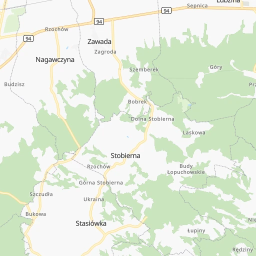
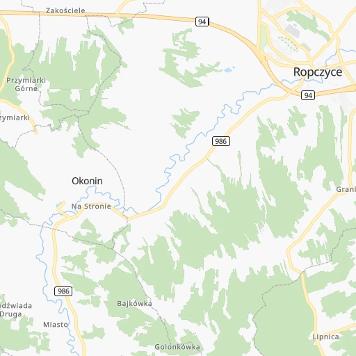
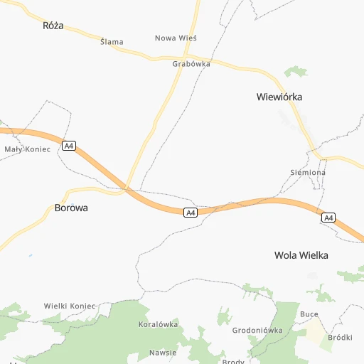
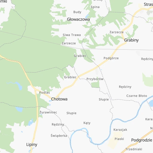
Roadmap (route) to go from Stacja Ropczvce to Jarosław detailed above, you can also see the course layout on the map.
While doing trip Stacja Ropczvce - Jarosław by car, the calculated route ends at a distance , or more straight.
Distance and duration of the route between Stacja Ropczvce and Jarosław
An error occured: undefined - for url https://router.cartes.cc/route?point=50.06667%2C21.56667&point=50.01623%2C22.67776&vehicle=car&debug=false&data_type=application%2Fjson&locale=en&points_encoded=true&instructions=true&elevation=false&optimize=false&timeout=10000&skip.host=true&skip.basePath=true&graphhopper_maps_host=https%3A%2F%2Fgraphhopper.com%2Fmaps%2F%3F&turn_sign_map.0=continue&turn_sign_map.1=turn%20slight%20right&turn_sign_map.2=turn%20right&turn_sign_map.3=turn%20sharp%20right&turn_sign_map.4=finish&turn_sign_map.5=reached%20via%20point&turn_sign_map.6=enter%20roundabout&turn_sign_map.-6=leave%20roundabout&turn_sign_map.-3=turn%20sharp%20left&turn_sign_map.-2=turn%20left&turn_sign_map.-1=turn%20slight%20left&key=&position=topleft
Calculation of distance and route from Jarosław to Stacja Ropczvce :
79.590.9 km1h60mn
Continue 0h4mn 1.1 kmTurn left onto Słoneczna 0h1mn 570 mTurn left onto Kolejowa 0h4mn 3.5 kmTurn right 0h6mn 4.6 kmTurn right 0h0mn 145 mTurn left onto Grobla 0h1mn 999 mTurn left onto Króla Kazimierza Jagiellończyka 0h1mn 778 mTurn left and take A4 toward Kraków, Rzeszów, Tarnów 0h0mn 426 mKeep right onto A4 and take A4 toward Rzeszów 1h33mn 69.3 kmKeep right onto A4 and drive toward Jarosław, Przeworsk 0h2mn 1.2 kmKeep left onto A4 0h4mn 4.9 kmKeep right 0h0mn 158 mAt roundabout, take exit 3 0h4mn 3.2 kmTurn left 0h0mn 7 mContinue onto Ignacego Kraszewskiego 0h0mn 11 mArrive at destination 0h0mn 0 m
Travel from Stacja Ropczvce (Subcarpathian Voivodeship) to a selection of major cities.
Distances from Stacja Ropczvce to biggest cities in Subcarpathian Voivodeship
Other major cities in country :
- Bytom [83], 189,186 inhabitants. 190 km
- Praga Poludnie [78], 187,845 inhabitants. 245 km
- Bielsko-Biala [83], 176,515 inhabitants. 183 km
- Olsztyn [85], 171,803 inhabitants. 420 km
- Ursynow [78], 147,676 inhabitants. 235 km
- Ruda Slaska [83], 146,189 inhabitants. 194 km
- Wola [78], 143,996 inhabitants. 245 km
- Rybnik [83], 142,510 inhabitants. 216 km
- Bielany [78], 134,854 inhabitants. 252 km
- Srodmiescie [78], 134,306 inhabitants. 244 km
- Dabrowa Gornicza [83], 130,601 inhabitants. 168 km
- Tychy [83], 130,000 inhabitants. 186 km
- Opole [79], 127,676 inhabitants. 267 km
- Elblag [85], 127,558 inhabitants. 478 km
- Plock [78], 127,474 inhabitants. 305 km
- Walbrzych [72], 127,431 inhabitants. 383 km
- Gorzow Wielkopolski [76], 124,430 inhabitants. 531 km
- Targowek [78], 124,316 inhabitants. 250 km
- Wloclawek [73], 120,339 inhabitants. 336 km
- Zielona Gora [76], 118,433 inhabitants. 473 km
Route from Jarosław to major cities (Poland).
- Distance Jarosław Warsaw273 km
- Distance Jarosław Lodz298 km
- Distance Jarosław Krakow196 km
- Distance Jarosław Wroclaw417 km
- Distance Jarosław Poznan481 km
- Distance Jarosław Gdansk555 km
- Distance Jarosław Szczecin676 km
- Distance Jarosław Bydgoszcz473 km
- Distance Jarosław Lublin138 km
- Distance Jarosław Katowice262 km
- Distance Jarosław Bialystok349 km
- Distance Jarosław Gdynia575 km
- Distance Jarosław Czestochowa267 km
- Distance Jarosław Sosnowiec257 km
- Distance Jarosław Radom188 km
- Distance Jarosław Mokotow268 km
- Distance Jarosław Torun437 km
- Distance Jarosław Kielce174 km
- Distance Jarosław Gliwice287 km
- Distance Jarosław Zabrze280 km
Nearest cities to Stacja Ropczvce :
- Warsaw, 1,702,139 inhabitants. 244 km
- Lodz, 768,755 inhabitants. 240 km
- Krakow, 755,050 inhabitants. 116 km
- Lublin, 360,044 inhabitants. 149 km
- Katowice, 317,316 inhabitants. 182 km
- Czestochowa, 248,125 inhabitants. 191 km
- Sosnowiec, 227,295 inhabitants. 177 km
- Radom, 226,794 inhabitants. 152 km
- Mokotow, 212,670 inhabitants. 240 km
- Torun, 208,717 inhabitants. 387 km
- Kielce, 208,598 inhabitants. 111 km
- Gliwice, 198,835 inhabitants. 208 km
- Zabrze, 192,177 inhabitants. 200 km
- Bytom, 189,186 inhabitants. 190 km
- Praga Poludnie, 187,845 inhabitants. 245 km
- Bielsko-Biala, 176,515 inhabitants. 183 km
- Rzeszow, 158,382 inhabitants. 31 km
- Ursynow, 147,676 inhabitants. 235 km
- Ruda Slaska, 146,189 inhabitants. 194 km
- Wola, 143,996 inhabitants. 245 km
- Bielany, 134,854 inhabitants. 252 km
- Srodmiescie, 134,306 inhabitants. 244 km
- Dabrowa Gornicza, 130,601 inhabitants. 168 km
- Tychy, 130,000 inhabitants. 186 km
- Plock, 127,474 inhabitants. 305 km
- Targowek, 124,316 inhabitants. 250 km
- Wloclawek, 120,339 inhabitants. 336 km
- Tarnow, 117,799 inhabitants. 42 km
- Chorzow, 113,430 inhabitants. 187 km
- Bemowo, 102,393 inhabitants. 248 km
- Jaworzno, 96,541 inhabitants. 164 km
- Jastrzebie Zdroj, 95,813 inhabitants. 214 km
- Praga Polnoc, 93,192 inhabitants. 246 km
- Ochota, 93,192 inhabitants. 243 km
- Bialoleka, 89,324 inhabitants. 254 km
- Nowy Sacz, 84,376 inhabitants. 80 km
- Piotrkow Trybunalski, 80,128 inhabitants. 199 km
- Siedlce, 77,185 inhabitants. 239 km
- Myslowice, 75,281 inhabitants. 172 km
- Ostrowiec Swietokrzyski, 73,989 inhabitants. 97 km
- Siemianowice Slaskie, 73,121 inhabitants. 183 km
- Pabianice, 70,542 inhabitants. 236 km
- Chelm, 68,043 inhabitants. 180 km
- Tomaszow Mazowiecki, 67,197 inhabitants. 196 km
- Przemysl, 67,013 inhabitants. 92 km
- Stalowa Wola, 66,495 inhabitants. 67 km
- Zamosc, 66,034 inhabitants. 140 km
- Zory, 63,174 inhabitants. 205 km
- Belchatow, 62,896 inhabitants. 213 km
- Wawer, 62,656 inhabitants. 239 km
Location Stacja Ropczvce (Subcarpathian Voivodeship) :
| Country flag |  |
| Location | Stacja Ropczvce |
| State | Subcarpathian Voivodeship |
| County | Powiat ropczycko-sędziszowski |
| Country | Poland |
| Country code / ISO 2 | PL |
| Latitude | 50.0666700 |
| Longitude | 21.5666700 |
| Altitude | 0 meters |
| Time zone | Europe/Warsaw |
Location Jarosław (Subcarpathian Voivodeship) :
| Country flag | |
| Location | Jarosław |
| State | Subcarpathian Voivodeship |
| County | Powiat jarosławski |
| Country | Poland |
| Country code / ISO 2 | PL |
| Latitude | 50.0162300 |
| Longitude | 22.6777600 |
| Altitude | 0 meters |
| Time zone | Europe/Warsaw |


