
How to get from Stacja Machnacz (Podlasie) to Starachowice (Świętokrzyskie)
Calculate route from Stacja Machnacz (Podlasie, Poland) to Starachowice (Świętokrzyskie, Poland).
The flight distance (as the crow flies) between Stacja Machnacz and Starachowice is 297.4 km.
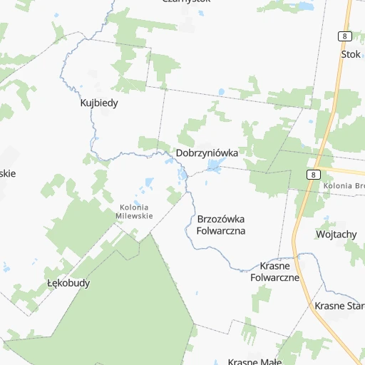
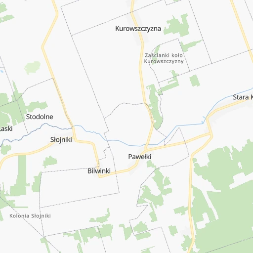
Roadmap (route) to go from Stacja Machnacz to Starachowice detailed above, you can also see the course layout on the map.
While doing trip Stacja Machnacz - Starachowice by car, the calculated route ends at a distance , or more straight.
Distance and duration of the route between Stacja Machnacz and Starachowice
An error occured: undefined - for url https://router.cartes.cc/route?point=53.33333%2C23.31667&point=51.0374%2C21.07126&vehicle=car&debug=false&data_type=application%2Fjson&locale=en&points_encoded=true&instructions=true&elevation=false&optimize=false&timeout=10000&skip.host=true&skip.basePath=true&graphhopper_maps_host=https%3A%2F%2Fgraphhopper.com%2Fmaps%2F%3F&turn_sign_map.0=continue&turn_sign_map.1=turn%20slight%20right&turn_sign_map.2=turn%20right&turn_sign_map.3=turn%20sharp%20right&turn_sign_map.4=finish&turn_sign_map.5=reached%20via%20point&turn_sign_map.6=enter%20roundabout&turn_sign_map.-6=leave%20roundabout&turn_sign_map.-3=turn%20sharp%20left&turn_sign_map.-2=turn%20left&turn_sign_map.-1=turn%20slight%20left&key=&position=topleft
Calculation of distance and route from Starachowice to Stacja Machnacz :
297.4369.2 km4h19mn
Continue 0h5mn 2.6 kmKeep right 0h3mn 1.4 kmTurn sharp left onto Marszałkowska 0h0mn 24 mTurn slight right onto Marszałka Józefa Piłsudskiego 0h2mn 1.6 kmTurn right onto Białostocka 0h16mn 21.3 kmKeep right onto 8 and take 8, 65 toward Warszawa, Ełk 2h48mn 180.2 kmKeep right onto Aleja Bohaterów Bitwy Warszawskiej 1920 0h1mn 515 mTurn left onto Aleja Marszałka Józefa Piłsudskiego and drive toward Warszawa Centrum 0h6mn 5.4 kmKeep right onto Aleja "Solidarności" 0h3mn 3.2 kmKeep left onto Aleja "Solidarności" 0h4mn 2.5 kmContinue onto Aleja "Solidarności" 0h1mn 418 mTurn left onto Rondo Kercelak 0h0mn 27 mContinue onto Okopowa 0h1mn 757 mAt roundabout, take exit 2 onto Towarowa 0h1mn 692 mAt roundabout, take exit 3 onto Raszyńska 0h1mn 1.0 kmContinue onto Żwirki i Wigury and drive toward Lotnisko Chopina 0h5mn 3.7 kmAt roundabout, take exit 3 onto Sasanki 0h1mn 385 mKeep right onto 79 and take S79, S7 toward Sandomierz, Piaseczno, Lotnisko Chopina 0h0mn 127 mKeep left onto 79 and take S79, S7, A2 toward Sandomierz, Piaseczno, Lotnisko Chopina, Poznań 1h57mn 102.9 kmKeep right and drive toward Radom-Pruszaków, Radom-Lotnisko, Orońsko, Lublin, Rzeszów 0h1mn 1.1 kmKeep right and take 735 toward Radom-Pruszaków, Radom-Lotnisko, Orońsko, Lublin, Rzeszów 0h0mn 213 mTurn right onto 735 and take 735 toward Orońsko 0h2mn 1.9 kmTurn left onto Zagórska 0h2mn 1.0 kmTurn left onto Starowiejska 0h0mn 278 mKeep right onto Starowiejska 0h5mn 4.0 kmTurn right onto Wierzbicka 0h6mn 4.6 kmTurn left onto Tadeusza Kościuszki 0h1mn 454 mTurn right onto Górna 0h17mn 16.3 kmTurn right onto 744 and take 744 toward Starachowice 0h6mn 6.7 kmAt roundabout, take exit 1 onto Radomska 0h2mn 1.3 kmAt roundabout, take exit 2 onto Radomska 0h1mn 681 mAt roundabout, take exit 1 onto Radomska 0h0mn 354 mTurn left onto Aleja Niepodległości and take 42 toward Ostrowiec Świętokrzyski 0h2mn 1.5 kmTurn left onto Księdza kardynała Stefana Wyszyńskiego 0h0mn 106 mTurn sharp left onto Księdza kardynała Stefana Wyszyńskiego 0h0mn 40 mKeep right and take 42 toward Skarżysko-Kamienna 0h0mn 71 mArrive at destination 0h0mn 0 m
Travel from Stacja Machnacz (Świętokrzyskie) to a selection of major cities.
Distances from Stacja Machnacz to biggest cities in Podlasie
Other major cities in country :
- Praga Poludnie [78], 187,845 inhabitants. 193 km
- Bielsko-Biala [83], 176,515 inhabitants. 490 km
- Olsztyn [85], 171,803 inhabitants. 193 km
- Rzeszow [80], 158,382 inhabitants. 378 km
- Ursynow [78], 147,676 inhabitants. 202 km
- Ruda Slaska [83], 146,189 inhabitants. 460 km
- Wola [78], 143,996 inhabitants. 198 km
- Rybnik [83], 142,510 inhabitants. 488 km
- Bielany [78], 134,854 inhabitants. 198 km
- Srodmiescie [78], 134,306 inhabitants. 198 km
- Dabrowa Gornicza [83], 130,601 inhabitants. 437 km
- Tychy [83], 130,000 inhabitants. 465 km
- Opole [79], 127,676 inhabitants. 473 km
- Elblag [85], 127,558 inhabitants. 273 km
- Plock [78], 127,474 inhabitants. 258 km
- Walbrzych [72], 127,431 inhabitants. 559 km
- Gorzow Wielkopolski [76], 124,430 inhabitants. 545 km
- Targowek [78], 124,316 inhabitants. 192 km
- Wloclawek [73], 120,339 inhabitants. 295 km
- Zielona Gora [76], 118,433 inhabitants. 550 km
Route from Starachowice to major cities (Poland).
- Distance Starachowice Warsaw133 km
- Distance Starachowice Lodz138 km
- Distance Starachowice Krakow135 km
- Distance Starachowice Wroclaw283 km
- Distance Starachowice Poznan324 km
- Distance Starachowice Gdansk404 km
- Distance Starachowice Szczecin518 km
- Distance Starachowice Bydgoszcz313 km
- Distance Starachowice Lublin107 km
- Distance Starachowice Katowice168 km
- Distance Starachowice Bialystok274 km
- Distance Starachowice Gdynia424 km
- Distance Starachowice Czestochowa139 km
- Distance Starachowice Sosnowiec162 km
- Distance Starachowice Radom41 km
- Distance Starachowice Mokotow129 km
- Distance Starachowice Torun278 km
- Distance Starachowice Gliwice188 km
- Distance Starachowice Zabrze180 km
- Distance Starachowice Bytom169 km
Nearest cities to Stacja Machnacz :
- Warsaw, 1,702,139 inhabitants. 198 km
- Lublin, 360,044 inhabitants. 237 km
- Bialystok, 291,855 inhabitants. 24 km
- Radom, 226,794 inhabitants. 261 km
- Mokotow, 212,670 inhabitants. 199 km
- Kielce, 208,598 inhabitants. 330 km
- Praga Poludnie, 187,845 inhabitants. 193 km
- Olsztyn, 171,803 inhabitants. 193 km
- Ursynow, 147,676 inhabitants. 202 km
- Wola, 143,996 inhabitants. 198 km
- Bielany, 134,854 inhabitants. 198 km
- Srodmiescie, 134,306 inhabitants. 198 km
- Targowek, 124,316 inhabitants. 192 km
- Bemowo, 102,393 inhabitants. 202 km
- Praga Polnoc, 93,192 inhabitants. 195 km
- Ochota, 93,192 inhabitants. 200 km
- Bialoleka, 89,324 inhabitants. 194 km
- Siedlce, 77,185 inhabitants. 147 km
- Ostrowiec Swietokrzyski, 73,989 inhabitants. 298 km
- Suwalki, 69,222 inhabitants. 90 km
- Chelm, 68,043 inhabitants. 244 km
- Stalowa Wola, 66,495 inhabitants. 318 km
- Zamosc, 66,034 inhabitants. 291 km
- Lomza, 63,723 inhabitants. 85 km
- Wawer, 62,656 inhabitants. 192 km
- Biala Podlaska, 57,541 inhabitants. 145 km
- Elk, 55,769 inhabitants. 84 km
- Pruszkow, 55,371 inhabitants. 213 km
- Ostroleka, 53,740 inhabitants. 119 km
- Starachowice, 53,739 inhabitants. 298 km
- Zoliborz, 50,934 inhabitants. 197 km
- Legionowo, 50,786 inhabitants. 191 km
- Tarnobrzeg, 50,459 inhabitants. 327 km
- Pulawy, 49,759 inhabitants. 232 km
- Skarzysko-Kamienna, 49,410 inhabitants. 298 km
- Ursus, 47,285 inhabitants. 207 km
- Ciechanow, 46,438 inhabitants. 187 km
- Otwock, 43,388 inhabitants. 195 km
- Zyrardow, 41,179 inhabitants. 241 km
- Swidnik, 40,050 inhabitants. 239 km
- Minsk Mazowiecki, 37,027 inhabitants. 174 km
- Wolomin, 36,592 inhabitants. 178 km
- Piaseczno, 36,278 inhabitants. 208 km
- Wlochy, 36,276 inhabitants. 205 km
- Krasnik, 35,834 inhabitants. 278 km
- Lukow, 30,465 inhabitants. 169 km
- Gizycko, 29,972 inhabitants. 129 km
- Augustow, 29,752 inhabitants. 61 km
- Mlawa, 29,398 inhabitants. 197 km
- Gierloz, 28,351 inhabitants. 146 km
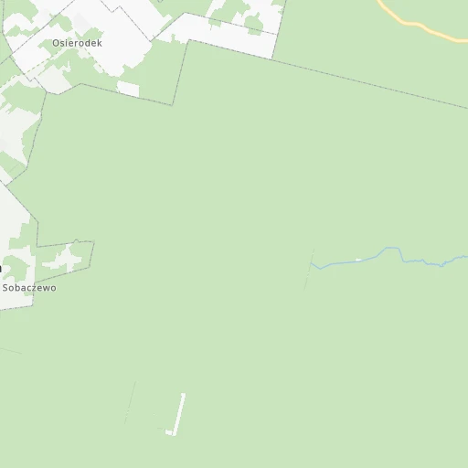
Location Stacja Machnacz (Podlasie) :
| Country flag |  |
| Location | Stacja Machnacz |
| State | Podlasie |
| County | Powiat białostocki |
| Country | Poland |
| Country code / ISO 2 | PL |
| Latitude | 53.3333300 |
| Longitude | 23.3166700 |
| Altitude | 0 meters |
| Time zone | Europe/Warsaw |
Location Starachowice (Świętokrzyskie) :
| Country flag | |
| Location | Starachowice |
| State | Świętokrzyskie |
| County | Powiat starachowicki |
| Country | Poland |
| Country code / ISO 2 | PL |
| Latitude | 51.0374000 |
| Longitude | 21.0712600 |
| Altitude | 0 meters |
| Time zone | Europe/Warsaw |

