
How to get from Stacja Goliany (Mazovia) to Wołomin (Mazovia)
Calculate route from Stacja Goliany (Mazovia, Poland) to Wołomin (Mazovia, Poland).
The flight distance (as the crow flies) between Stacja Goliany and Wołomin is 68.2 km.
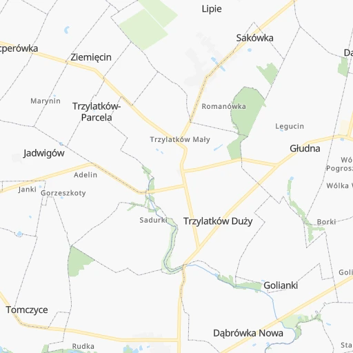
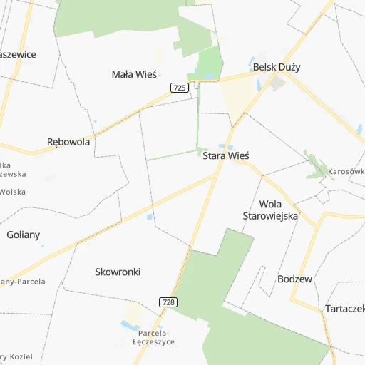
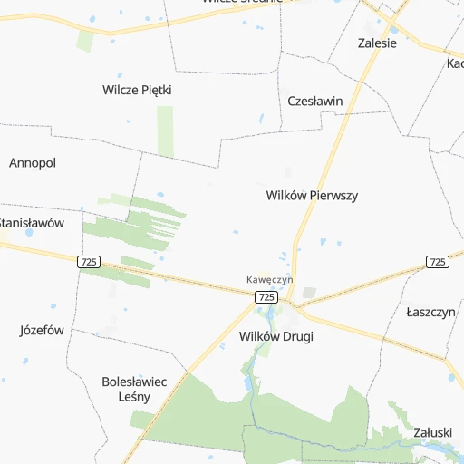
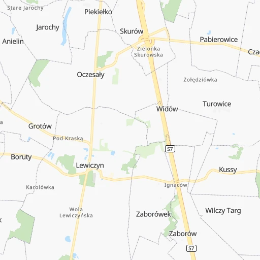
Roadmap (route) to go from Stacja Goliany to Wołomin detailed above, you can also see the course layout on the map.
While doing trip Stacja Goliany - Wołomin by car, the calculated route ends at a distance , or more straight.
Distance and duration of the route between Stacja Goliany and Wołomin
An error occured: undefined - for url https://router.cartes.cc/route?point=51.8%2C20.76667&point=52.34006%2C21.24207&vehicle=car&debug=false&data_type=application%2Fjson&locale=en&points_encoded=true&instructions=true&elevation=false&optimize=false&timeout=10000&skip.host=true&skip.basePath=true&graphhopper_maps_host=https%3A%2F%2Fgraphhopper.com%2Fmaps%2F%3F&turn_sign_map.0=continue&turn_sign_map.1=turn%20slight%20right&turn_sign_map.2=turn%20right&turn_sign_map.3=turn%20sharp%20right&turn_sign_map.4=finish&turn_sign_map.5=reached%20via%20point&turn_sign_map.6=enter%20roundabout&turn_sign_map.-6=leave%20roundabout&turn_sign_map.-3=turn%20sharp%20left&turn_sign_map.-2=turn%20left&turn_sign_map.-1=turn%20slight%20left&key=&position=topleft
Calculation of distance and route from Wołomin to Stacja Goliany :
68.279.5 km1h5mn
Continue 0h2mn 2.2 kmTurn left onto 728 0h2mn 2.0 kmAt roundabout, take exit 2 onto Tomasza Nocznickiego 0h5mn 5.1 kmKeep right and drive toward Warszawa 0h19mn 34.6 kmKeep right onto S7 and take S2, S2, S7 toward Poznań, Terespol, Gdańsk 0h0mn 297 mKeep right and take S2 toward Terespol 0h1mn 1.7 kmKeep right onto Aleja Legionów Piłsudskiego and take , 79, , toward ul. Puławska, Sandomierz, Ursynów, Mokotów 0h0mn 447 mContinue onto Aleja Legionów Piłsudskiego and take 79 toward Sandomierz, Piaseczno 0h0mn 17 mContinue onto Rondo Wolnej Białorusi 0h0mn 47 mTurn left onto Rondo Wolnej Białorusi 0h0mn 66 mContinue onto Puławska 0h3mn 2.5 kmKeep right onto Puławska and drive toward ul.Dolina Służewiecka, Terespol, Wawer, Mokotów 0h11mn 11.0 kmKeep left onto Aleja Generała Bolesława Wieniawy-Długoszowskiego and drive toward ul. Marsa, Nowy Dwór Maz., Węgrów, Rembertów 0h7mn 8.0 kmAt roundabout, take exit 3 onto Aleja Józefa Piłsudskiego 0h2mn 1.9 kmAt roundabout, take exit 1 onto Marecka 0h1mn 920 mAt roundabout, take exit 2 onto Lipowa 0h4mn 2.9 kmAt roundabout, take exit 1 onto Marecka 0h2mn 2.0 kmAt roundabout, take exit 2 0h0mn 51 mAt roundabout, take exit 1 0h0mn 167 mTurn slight left onto Generała Franciszka Żymirskiego 0h2mn 1.5 kmTurn left onto Wołomińska 0h0mn 204 mAt roundabout, take exit 3 onto Aleja Armii Krajowej 0h1mn 739 mAt roundabout, take exit 1 onto Mieczysława Sasina 0h1mn 460 mAt roundabout, take exit 1 onto Przejazd 0h0mn 194 mAt roundabout, take exit 2 onto Lipińska 0h0mn 345 mTurn right onto Legionów 0h0mn 229 mTurn right onto Wiejska 0h0mn 31 mTurn left 0h0mn 8 mTurn left 0h0mn 22 mArrive at destination 0h0mn 0 m
Travel from Stacja Goliany (Mazovia) to a selection of major cities.
Distances from Stacja Goliany to biggest cities in Mazovia
- Ursus,47,285 inhabitants.45 km
- Ciechanow,46,438 inhabitants.121 km
- Otwock,43,388 inhabitants.48 km
- Zyrardow,41,179 inhabitants.35 km
- Sochaczew,38,267 inhabitants.60 km
- Minsk Mazowiecki,37,027 inhabitants.70 km
- Wolomin,36,592 inhabitants.68 km
- Piaseczno,36,278 inhabitants.36 km
- Wlochy,36,276 inhabitants.44 km
- Mlawa,29,398 inhabitants.148 km
- Nowy Dwor Mazowiecki,27,633 inhabitants.70 km
- Grodzisk Mazowiecki,26,684 inhabitants.35 km
- Wyszkow,26,628 inhabitants.100 km
- Kabaty,25,000 inhabitants.43 km
- Zabki,23,473 inhabitants.60 km
- Piastow,23,290 inhabitants.43 km
- Marki,23,177 inhabitants.62 km
- Ostrow Mazowiecka,22,653 inhabitants.135 km
- Plonsk,22,217 inhabitants.95 km
- Rembertow,21,893 inhabitants.58 km
Other major cities in country :
- Rzeszow [80], 158,382 inhabitants. 214 km
- Ruda Slaska [83], 146,189 inhabitants. 218 km
- Rybnik [83], 142,510 inhabitants. 245 km
- Dabrowa Gornicza [83], 130,601 inhabitants. 197 km
- Tychy [83], 130,000 inhabitants. 224 km
- Opole [79], 127,676 inhabitants. 234 km
- Elblag [85], 127,558 inhabitants. 277 km
- Walbrzych [72], 127,431 inhabitants. 332 km
- Gorzow Wielkopolski [76], 124,430 inhabitants. 391 km
- Wloclawek [73], 120,339 inhabitants. 149 km
- Zielona Gora [76], 118,433 inhabitants. 362 km
- Tarnow [77], 117,799 inhabitants. 199 km
- Chorzow [83], 113,430 inhabitants. 208 km
- Kalisz [86], 108,759 inhabitants. 184 km
- Koszalin [87], 107,450 inhabitants. 407 km
- Legnica [72], 106,033 inhabitants. 326 km
- Grudziadz [73], 99,486 inhabitants. 232 km
- Slupsk [82], 98,608 inhabitants. 388 km
- Jaworzno [83], 96,541 inhabitants. 206 km
- Jastrzebie Zdroj [83], 95,813 inhabitants. 257 km
Route from Wołomin to major cities (Poland).
- Distance Wołomin Lodz137 km
- Distance Wołomin Krakow269 km
- Distance Wołomin Wroclaw321 km
- Distance Wołomin Poznan293 km
- Distance Wołomin Gdansk283 km
- Distance Wołomin Szczecin465 km
- Distance Wołomin Bydgoszcz235 km
- Distance Wołomin Lublin152 km
- Distance Wołomin Katowice278 km
- Distance Wołomin Bialystok157 km
- Distance Wołomin Gdynia302 km
- Distance Wołomin Czestochowa226 km
- Distance Wołomin Sosnowiec273 km
- Distance Wołomin Torun194 km
- Distance Wołomin Kielce169 km
- Distance Wołomin Gliwice289 km
- Distance Wołomin Zabrze282 km
- Distance Wołomin Bytom274 km
- Distance Wołomin Bielsko-Biala320 km
- Distance Wołomin Olsztyn168 km
Nearest cities to Stacja Goliany :
- Warsaw, 1,702,139 inhabitants. 51 km
- Lodz, 768,755 inhabitants. 89 km
- Krakow, 755,050 inhabitants. 202 km
- Gdansk, 461,865 inhabitants. 317 km
- Bydgoszcz, 366,452 inhabitants. 238 km
- Lublin, 360,044 inhabitants. 139 km
- Katowice, 317,316 inhabitants. 210 km
- Bialystok, 291,855 inhabitants. 220 km
- Gdynia, 253,730 inhabitants. 337 km
- Czestochowa, 248,125 inhabitants. 160 km
- Sosnowiec, 227,295 inhabitants. 205 km
- Radom, 226,794 inhabitants. 51 km
- Mokotow, 212,670 inhabitants. 47 km
- Torun, 208,717 inhabitants. 200 km
- Kielce, 208,598 inhabitants. 104 km
- Gliwice, 198,835 inhabitants. 222 km
- Zabrze, 192,177 inhabitants. 215 km
- Bytom, 189,186 inhabitants. 206 km
- Praga Poludnie, 187,845 inhabitants. 54 km
- Bielsko-Biala, 176,515 inhabitants. 251 km
- Olsztyn, 171,803 inhabitants. 221 km
- Rzeszow, 158,382 inhabitants. 214 km
- Ursynow, 147,676 inhabitants. 44 km
- Ruda Slaska, 146,189 inhabitants. 218 km
- Wola, 143,996 inhabitants. 51 km
- Rybnik, 142,510 inhabitants. 245 km
- Bielany, 134,854 inhabitants. 56 km
- Srodmiescie, 134,306 inhabitants. 51 km
- Dabrowa Gornicza, 130,601 inhabitants. 197 km
- Tychy, 130,000 inhabitants. 224 km
- Opole, 127,676 inhabitants. 234 km
- Elblag, 127,558 inhabitants. 277 km
- Plock, 127,474 inhabitants. 110 km
- Targowek, 124,316 inhabitants. 58 km
- Wloclawek, 120,339 inhabitants. 149 km
- Tarnow, 117,799 inhabitants. 199 km
- Chorzow, 113,430 inhabitants. 208 km
- Kalisz, 108,759 inhabitants. 184 km
- Bemowo, 102,393 inhabitants. 52 km
- Grudziadz, 99,486 inhabitants. 232 km
- Jaworzno, 96,541 inhabitants. 206 km
- Jastrzebie Zdroj, 95,813 inhabitants. 257 km
- Praga Polnoc, 93,192 inhabitants. 54 km
- Ochota, 93,192 inhabitants. 49 km
- Bialoleka, 89,324 inhabitants. 60 km
- Nowy Sacz, 84,376 inhabitants. 243 km
- Konin, 81,258 inhabitants. 179 km
- Piotrkow Trybunalski, 80,128 inhabitants. 86 km
- Inowroclaw, 77,597 inhabitants. 203 km
- Siedlce, 77,185 inhabitants. 112 km
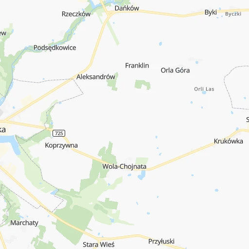
Location Stacja Goliany (Mazovia) :
| Country flag |  |
| Location | Stacja Goliany |
| State | Mazovia |
| County | Powiat grójecki |
| Country | Poland |
| Country code / ISO 2 | PL |
| Latitude | 51.8000000 |
| Longitude | 20.7666700 |
| Altitude | 0 meters |
| Time zone | Europe/Warsaw |
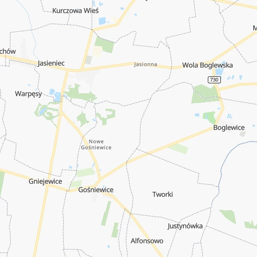
Location Wołomin (Mazovia) :
| Country flag | |
| Location | Wołomin |
| State | Mazovia |
| County | Powiat wołomiński |
| Country | Poland |
| Country code / ISO 2 | PL |
| Latitude | 52.3400600 |
| Longitude | 21.2420700 |
| Altitude | 0 meters |
| Time zone | Europe/Warsaw |

