
How to get from Kitee (airport) (North Karelia) to Suonenjoki (Northern Savo)
Calculate route from Kitee (airport) (North Karelia, Finland) to Suonenjoki (Northern Savo, Finland).
The flight distance (as the crow flies) between Kitee (airport) and Suonenjoki is 159.5 km.
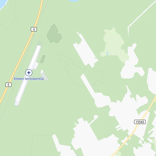
Roadmap (route) to go from Kitee Airport to Suonenjoki detailed above, you can also see the course layout on the map.
While doing trip Kitee (airport) - Suonenjoki by car, the calculated route ends at a distance , or more straight.
Distance and duration of the route between Kitee (airport) and Suonenjoki
An error occured: undefined - for url https://router.cartes.cc/route?point=62.1661%2C30.0736&point=62.61667%2C27.13333&vehicle=car&debug=false&data_type=application%2Fjson&locale=en&points_encoded=true&instructions=true&elevation=false&optimize=false&timeout=10000&skip.host=true&skip.basePath=true&graphhopper_maps_host=https%3A%2F%2Fgraphhopper.com%2Fmaps%2F%3F&turn_sign_map.0=continue&turn_sign_map.1=turn%20slight%20right&turn_sign_map.2=turn%20right&turn_sign_map.3=turn%20sharp%20right&turn_sign_map.4=finish&turn_sign_map.5=reached%20via%20point&turn_sign_map.6=enter%20roundabout&turn_sign_map.-6=leave%20roundabout&turn_sign_map.-3=turn%20sharp%20left&turn_sign_map.-2=turn%20left&turn_sign_map.-1=turn%20slight%20left&key=&position=topleft
Calculation of distance and route from Suonenjoki to Kitee (airport) :
159.5225.7 km3h1mn
Continue onto Korventie 0h3mn 2.5 kmTurn left onto Ruppovaaransalontie 0h1mn 1.2 kmTurn right onto Joensuuntie 1h57mn 79.8 kmTurn left onto Varkaudentie 1h47mn 64.0 kmTurn right onto Heinävedentie 1h36mn 34.8 kmTurn right onto Viitostie 0h7mn 9.6 kmTurn left onto Kotalahdentie 0h18mn 19.8 kmTurn left onto Ysitie 0h7mn 10.0 kmTurn left onto Kuopiontie 0h3mn 2.6 kmTurn right 0h0mn 16 mKeep left 0h0mn 26 mKeep right onto Kuopiontie 0h0mn 9 mTurn slight right onto Kuopiontie 0h1mn 316 mTurn left onto Pihlajakatu 0h2mn 864 mTurn left onto Siioninsillankatu 0h0mn 105 mArrive at destination 0h0mn 0 m
Travel from Kitee (airport) (Northern Savo) to a selection of major cities.
Distances from Kitee Airport to biggest cities in North Karelia
Other major cities in country :
Route from Suonenjoki to major cities (Finland).
- Distance Suonenjoki Helsinki296 km
- Distance Suonenjoki Espoo299 km
- Distance Suonenjoki Tampere214 km
- Distance Suonenjoki Vantaa281 km
- Distance Suonenjoki Turku353 km
- Distance Suonenjoki Oulu279 km
- Distance Suonenjoki Lahti198 km
- Distance Suonenjoki Jyvaeskylae84 km
- Distance Suonenjoki Pori306 km
- Distance Suonenjoki Lappeenranta182 km
- Distance Suonenjoki Vaasa285 km
- Distance Suonenjoki Kotka240 km
- Distance Suonenjoki Joensuu135 km
Nearest cities to Kitee (airport) :
- Kuopio, 89,104 inhabitants. 147 km
- Lappeenranta, 59,276 inhabitants. 159 km
- Joensuu, 53,388 inhabitants. 51 km
- Mikkeli, 46,550 inhabitants. 156 km
- Kajaani, 35,375 inhabitants. 258 km
- Imatra, 29,615 inhabitants. 131 km
- Savonlinna, 27,353 inhabitants. 71 km
- Iisalmi, 22,588 inhabitants. 213 km
- Varkaus, 22,365 inhabitants. 115 km
- Hamina, 21,712 inhabitants. 235 km
- Siilinjaervi, 20,209 inhabitants. 160 km
- Lieksa, 13,703 inhabitants. 128 km
- Kontiolahti, 12,411 inhabitants. 67 km
- Pieksaemaeki, 12,167 inhabitants. 153 km
- Liperi, 11,386 inhabitants. 55 km
- Leppaevirta, 10,936 inhabitants. 124 km
- Joutseno, 10,603 inhabitants. 143 km
- Sotkamo, 10,368 inhabitants. 234 km
- Kuhmo, 10,214 inhabitants. 221 km
- Suomussalmi, 9,974 inhabitants. 308 km
- Kitee, 9,777 inhabitants. 8 km
- Nurmes, 8,804 inhabitants. 160 km
- Outokumpu, 7,738 inhabitants. 83 km
- Suonenjoki, 7,568 inhabitants. 160 km
- Lapinlahti, 7,350 inhabitants. 191 km
- Pyhaeselkae, 7,210 inhabitants. 30 km
- Juva, 7,165 inhabitants. 120 km
- Eno, 6,891 inhabitants. 71 km
- Nilsiae, 6,474 inhabitants. 154 km
- Ilomantsi, 6,408 inhabitants. 72 km
- Vuokatti, 6,183 inhabitants. 238 km
- Juuka, 6,035 inhabitants. 126 km
- Kerimaeki, 5,841 inhabitants. 50 km
- Ruokolahti, 5,780 inhabitants. 118 km
- Joroinen, 5,536 inhabitants. 117 km
- Juankoski, 5,514 inhabitants. 134 km
- Luumaeki, 5,305 inhabitants. 191 km
- Ristiina, 5,171 inhabitants. 166 km
- Polvijaervi, 4,937 inhabitants. 84 km
- Tohmajaervi, 4,911 inhabitants. 16 km
- Sonkajaervi, 4,819 inhabitants. 211 km
- Taipalsaari, 4,778 inhabitants. 156 km
- Heinaevesi, 4,457 inhabitants. 82 km
- Rantasalmi, 4,443 inhabitants. 93 km
- Rautjaervi, 4,316 inhabitants. 90 km
- Parikkala, 4,274 inhabitants. 75 km
- Savitaipale, 4,195 inhabitants. 165 km
- Punkaharju, 3,984 inhabitants. 58 km
- Paltamo, 3,844 inhabitants. 274 km
- Maaninka, 3,638 inhabitants. 180 km
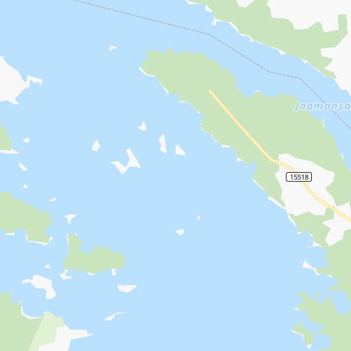
Location Kitee (airport) (North Karelia) :
| Country flag |  |
| Location | Kitee (airport) |
| State | North Karelia |
| County | Keski-Karjala |
| Country | Finland |
| Country code / ISO 2 | FI |
| Latitude | 62.1661000 |
| Longitude | 30.0736000 |
| Altitude | 0 meters |
| Time zone | Europe/Helsinki |
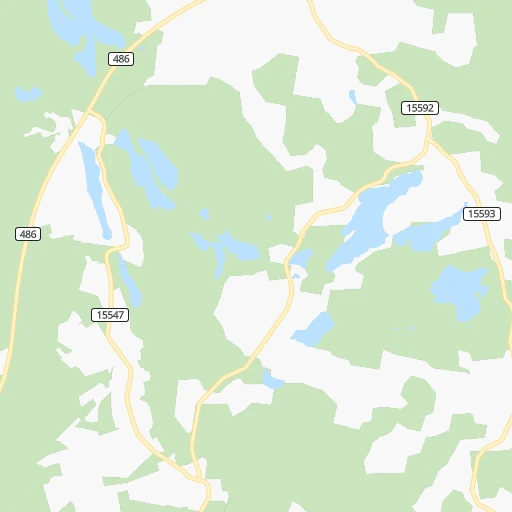
Location Suonenjoki (Northern Savo) :
| Country flag | |
| Location | Suonenjoki |
| State | Northern Savo |
| County | Sisä-Savo |
| Country | Finland |
| Country code / ISO 2 | FI |
| Latitude | 62.6166700 |
| Longitude | 27.1333300 |
| Altitude | 0 meters |
| Time zone | Europe/Helsinki |

