
How to get from Bukowa (Świętokrzyskie) to Gmina Końskie (Świętokrzyskie)
Calculate route from Bukowa (Świętokrzyskie, Poland) to Gmina Końskie (Świętokrzyskie, Poland).
The flight distance (as the crow flies) between Bukowa and Gmina Końskie is 43.6 km.
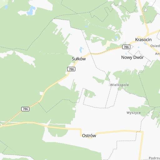
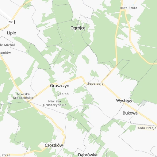
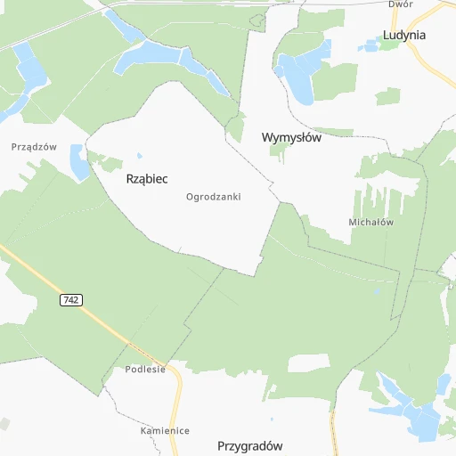
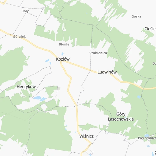
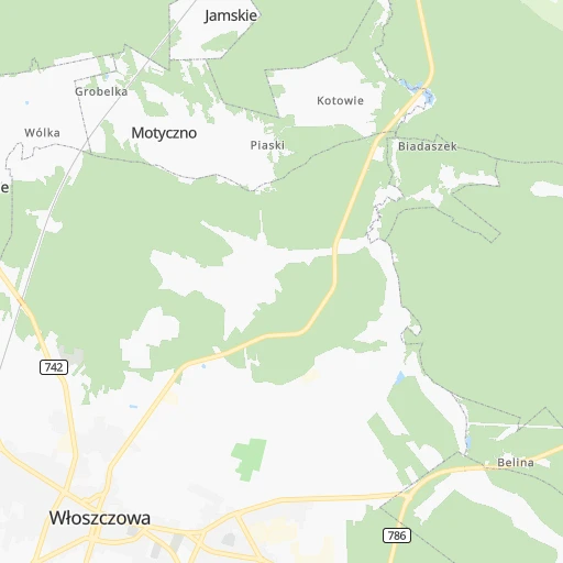
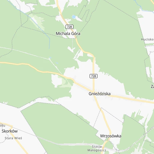
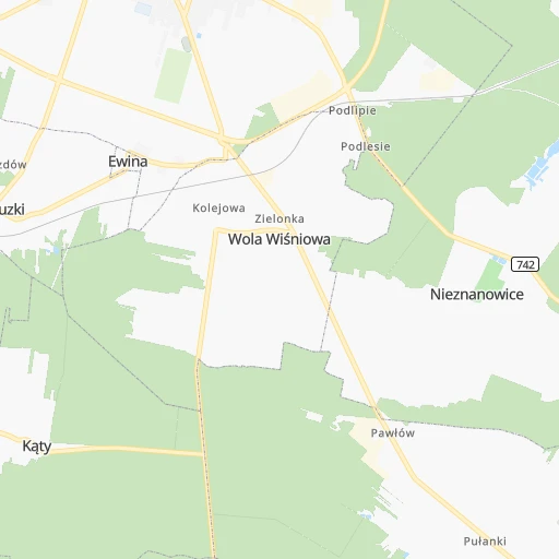
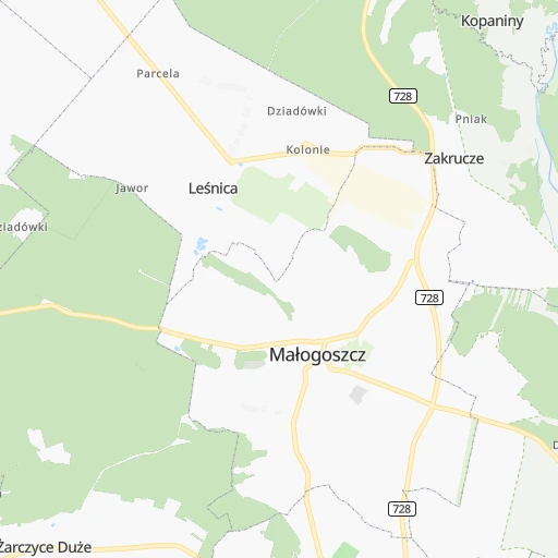
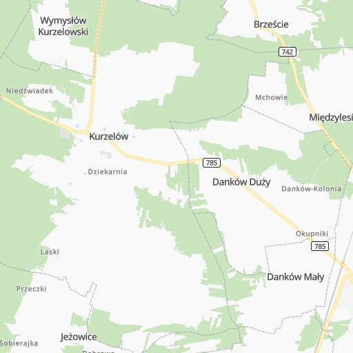
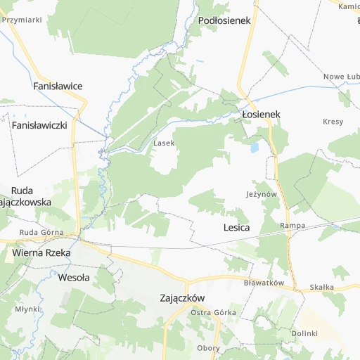
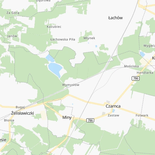
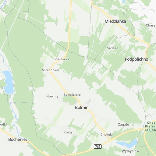
Roadmap (route) to go from Bukowa to Gmina Końskie detailed above, you can also see the course layout on the map.
While doing trip Bukowa - Gmina Końskie by car, the calculated route ends at a distance , or more straight.
Distance and duration of the route between Bukowa and Gmina Końskie
An error occured: undefined - for url https://router.cartes.cc/route?point=50.85%2C20.1&point=51.19166%2C20.40607&vehicle=car&debug=false&data_type=application%2Fjson&locale=en&points_encoded=true&instructions=true&elevation=false&optimize=false&timeout=10000&skip.host=true&skip.basePath=true&graphhopper_maps_host=https%3A%2F%2Fgraphhopper.com%2Fmaps%2F%3F&turn_sign_map.0=continue&turn_sign_map.1=turn%20slight%20right&turn_sign_map.2=turn%20right&turn_sign_map.3=turn%20sharp%20right&turn_sign_map.4=finish&turn_sign_map.5=reached%20via%20point&turn_sign_map.6=enter%20roundabout&turn_sign_map.-6=leave%20roundabout&turn_sign_map.-3=turn%20sharp%20left&turn_sign_map.-2=turn%20left&turn_sign_map.-1=turn%20slight%20left&key=&position=topleft
Calculation of distance and route from Gmina Końskie to Bukowa :
43.652.4 km1h4mn
Continue 0h2mn 479 mTurn slight right 0h1mn 180 mTurn left 0h2mn 609 mTurn left 0h1mn 1.1 kmKeep right 0h3mn 858 mTurn right 0h3mn 1.7 kmTurn right 0h0mn 9 mTurn left 0h4mn 3.5 kmTurn sharp left 0h0mn 22 mTurn slight left 0h4mn 4.3 kmTurn right onto 786 0h4mn 4.6 kmAt roundabout, take exit 2 onto Włoszczowska 0h2mn 1.8 kmAt roundabout, take exit 2 onto Rynek 0h16mn 15.2 kmAt roundabout, take exit 2 onto Konecka 0h8mn 7.5 kmAt roundabout, take exit 2 onto 728 0h12mn 9.9 kmAt roundabout, take exit 1 onto Krakowska 0h0mn 271 mTurn left onto Kazanowska 0h0mn 190 mKeep right onto Kazanowska 0h0mn 29 mAt roundabout, take exit 1 onto Marszałka Józefa Piłsudskiego 0h1mn 224 mArrive at destination 0h0mn 0 m
Travel from Bukowa (Świętokrzyskie) to a selection of major cities.
Distances from Bukowa to biggest cities in Świętokrzyskie
Other major cities in country :
- Praga Poludnie [78], 187,845 inhabitants. 170 km
- Bielsko-Biala [83], 176,515 inhabitants. 137 km
- Olsztyn [85], 171,803 inhabitants. 327 km
- Rzeszow [80], 158,382 inhabitants. 162 km
- Ursynow [78], 147,676 inhabitants. 159 km
- Ruda Slaska [83], 146,189 inhabitants. 110 km
- Wola [78], 143,996 inhabitants. 167 km
- Rybnik [83], 142,510 inhabitants. 139 km
- Bielany [78], 134,854 inhabitants. 171 km
- Srodmiescie [78], 134,306 inhabitants. 166 km
- Dabrowa Gornicza [83], 130,601 inhabitants. 85 km
- Tychy [83], 130,000 inhabitants. 113 km
- Opole [79], 127,676 inhabitants. 154 km
- Elblag [85], 127,558 inhabitants. 371 km
- Plock [78], 127,474 inhabitants. 191 km
- Walbrzych [72], 127,431 inhabitants. 269 km
- Gorzow Wielkopolski [76], 124,430 inhabitants. 396 km
- Targowek [78], 124,316 inhabitants. 173 km
- Wloclawek [73], 120,339 inhabitants. 212 km
- Zielona Gora [76], 118,433 inhabitants. 341 km
Route from Gmina Końskie to major cities (Poland).
- Distance Gmina Końskie Warsaw123 km
- Distance Gmina Końskie Lodz91 km
- Distance Gmina Końskie Krakow130 km
- Distance Gmina Końskie Wroclaw236 km
- Distance Gmina Końskie Poznan275 km
- Distance Gmina Końskie Gdansk371 km
- Distance Gmina Końskie Szczecin470 km
- Distance Gmina Końskie Bydgoszcz270 km
- Distance Gmina Końskie Lublin151 km
- Distance Gmina Końskie Katowice142 km
- Distance Gmina Końskie Bialystok287 km
- Distance Gmina Końskie Gdynia391 km
- Distance Gmina Końskie Czestochowa100 km
- Distance Gmina Końskie Sosnowiec136 km
- Distance Gmina Końskie Radom57 km
- Distance Gmina Końskie Mokotow120 km
- Distance Gmina Końskie Torun238 km
- Distance Gmina Końskie Gliwice157 km
- Distance Gmina Końskie Zabrze149 km
- Distance Gmina Końskie Bytom140 km
Nearest cities to Bukowa :
- Warsaw, 1,702,139 inhabitants. 166 km
- Lodz, 768,755 inhabitants. 111 km
- Krakow, 755,050 inhabitants. 89 km
- Bydgoszcz, 366,452 inhabitants. 291 km
- Lublin, 360,044 inhabitants. 178 km
- Katowice, 317,316 inhabitants. 100 km
- Czestochowa, 248,125 inhabitants. 69 km
- Sosnowiec, 227,295 inhabitants. 94 km
- Radom, 226,794 inhabitants. 96 km
- Mokotow, 212,670 inhabitants. 163 km
- Torun, 208,717 inhabitants. 262 km
- Kielce, 208,598 inhabitants. 37 km
- Gliwice, 198,835 inhabitants. 118 km
- Zabrze, 192,177 inhabitants. 110 km
- Bytom, 189,186 inhabitants. 100 km
- Praga Poludnie, 187,845 inhabitants. 170 km
- Bielsko-Biala, 176,515 inhabitants. 137 km
- Olsztyn, 171,803 inhabitants. 327 km
- Rzeszow, 158,382 inhabitants. 162 km
- Ursynow, 147,676 inhabitants. 159 km
- Ruda Slaska, 146,189 inhabitants. 110 km
- Wola, 143,996 inhabitants. 167 km
- Rybnik, 142,510 inhabitants. 139 km
- Bielany, 134,854 inhabitants. 171 km
- Srodmiescie, 134,306 inhabitants. 166 km
- Dabrowa Gornicza, 130,601 inhabitants. 85 km
- Tychy, 130,000 inhabitants. 113 km
- Opole, 127,676 inhabitants. 154 km
- Plock, 127,474 inhabitants. 191 km
- Targowek, 124,316 inhabitants. 173 km
- Wloclawek, 120,339 inhabitants. 212 km
- Tarnow, 117,799 inhabitants. 112 km
- Chorzow, 113,430 inhabitants. 100 km
- Kalisz, 108,759 inhabitants. 173 km
- Bemowo, 102,393 inhabitants. 166 km
- Grudziadz, 99,486 inhabitants. 307 km
- Jaworzno, 96,541 inhabitants. 93 km
- Jastrzebie Zdroj, 95,813 inhabitants. 147 km
- Praga Polnoc, 93,192 inhabitants. 169 km
- Ochota, 93,192 inhabitants. 164 km
- Bialoleka, 89,324 inhabitants. 175 km
- Nowy Sacz, 84,376 inhabitants. 143 km
- Konin, 81,258 inhabitants. 199 km
- Piotrkow Trybunalski, 80,128 inhabitants. 68 km
- Inowroclaw, 77,597 inhabitants. 251 km
- Siedlce, 77,185 inhabitants. 211 km
- Myslowice, 75,281 inhabitants. 97 km
- Ostrowiec Swietokrzyski, 73,989 inhabitants. 91 km
- Siemianowice Slaskie, 73,121 inhabitants. 95 km
- Ostrow Wielkopolski, 72,898 inhabitants. 183 km
Location Bukowa (Świętokrzyskie) :
| Country flag |  |
| Location | Bukowa |
| State | Świętokrzyskie |
| County | Powiat włoszczowski |
| Country | Poland |
| Country code / ISO 2 | PL |
| Latitude | 50.8500000 |
| Longitude | 20.1000000 |
| Altitude | 0 meters |
| Time zone | Europe/Warsaw |
Location Gmina Końskie (Świętokrzyskie) :
| Country flag | |
| Location | Gmina Końskie |
| State | Świętokrzyskie |
| County | Powiat konecki |
| Country | Poland |
| Country code / ISO 2 | PL |
| Latitude | 51.1916600 |
| Longitude | 20.4060700 |
| Altitude | 0 meters |
| Time zone | Europe/Warsaw |

