
How to get from Stacja Białaczów (Łódź Voivodeship) to Zabrze (Silesia)
Calculate route from Stacja Białaczów (Łódź Voivodeship, Poland) to Zabrze (Silesia, Poland).
The flight distance (as the crow flies) between Stacja Białaczów and Zabrze is 155.1 km.
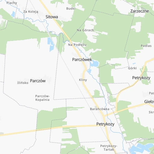
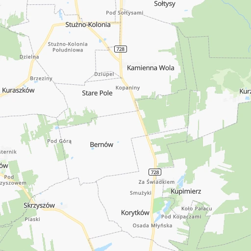
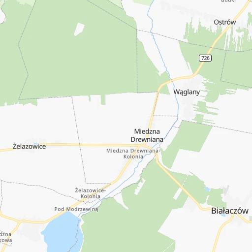
Roadmap (route) to go from Stacja Białaczów to Zabrze detailed above, you can also see the course layout on the map.
While doing trip Stacja Białaczów - Zabrze by car, the calculated route ends at a distance , or more straight.
Distance and duration of the route between Stacja Białaczów and Zabrze
An error occured: undefined - for url https://router.cartes.cc/route?point=51.3%2C20.36667&point=50.32492%2C18.78576&vehicle=car&debug=false&data_type=application%2Fjson&locale=en&points_encoded=true&instructions=true&elevation=false&optimize=false&timeout=10000&skip.host=true&skip.basePath=true&graphhopper_maps_host=https%3A%2F%2Fgraphhopper.com%2Fmaps%2F%3F&turn_sign_map.0=continue&turn_sign_map.1=turn%20slight%20right&turn_sign_map.2=turn%20right&turn_sign_map.3=turn%20sharp%20right&turn_sign_map.4=finish&turn_sign_map.5=reached%20via%20point&turn_sign_map.6=enter%20roundabout&turn_sign_map.-6=leave%20roundabout&turn_sign_map.-3=turn%20sharp%20left&turn_sign_map.-2=turn%20left&turn_sign_map.-1=turn%20slight%20left&key=&position=topleft
Calculation of distance and route from Zabrze to Stacja Białaczów :
155.1208.5 km2h24mn
Continue 0h0mn 8 mTurn left 0h9mn 7.7 kmTurn slight left onto 726 0h4mn 3.7 kmTurn right onto Topolowa 0h2mn 1.6 kmTurn right 0h0mn 83 mTurn left 0h5mn 4.2 kmTurn slight left 0h4mn 1.8 kmTurn right onto Konecka 0h16mn 17.4 kmTurn left onto Opoczyńska 0h13mn 12.3 kmAt roundabout, take exit 2 onto Sulejowska 0h2mn 1.5 kmAt roundabout, take exit 2 onto Sulejowska 0h0mn 290 mAt roundabout, take exit 3 onto Aleje Mikołaja Kopernika 0h5mn 4.2 kmAt roundabout, take exit 1 onto Aleje Generała Władysława Sikorskiego 0h1mn 809 mKeep right and take 1 toward Katowice, Częstochowa 0h1mn 354 mKeep left and take 1 toward Katowice 1h11mn 141.0 kmKeep right and take 11 toward Bytom, Tarnowskie Góry, Poznań 0h1mn 941 mAt roundabout, take exit 2 onto Dąbrowa Miejska 0h1mn 795 mTurn slight left onto Celna 0h1mn 912 mKeep right 0h8mn 8.0 kmKeep right toward 921 0h0mn 324 mTurn left onto Doktora Bronisława Hagera 0h0mn 180 mTurn right onto Przystankowa 0h0mn 353 mTurn sharp right onto Mikulczycka 0h0mn 60 mArrive at destination 0h0mn 0 m
Travel from Stacja Białaczów (Silesia) to a selection of major cities.
Distances from Stacja Białaczów to biggest cities in Łódź Voivodeship
Other major cities in country :
- Praga Poludnie [78], 187,845 inhabitants. 116 km
- Bielsko-Biala [83], 176,515 inhabitants. 189 km
- Olsztyn [85], 171,803 inhabitants. 276 km
- Rzeszow [80], 158,382 inhabitants. 181 km
- Ursynow [78], 147,676 inhabitants. 106 km
- Ruda Slaska [83], 146,189 inhabitants. 157 km
- Wola [78], 143,996 inhabitants. 113 km
- Rybnik [83], 142,510 inhabitants. 186 km
- Bielany [78], 134,854 inhabitants. 117 km
- Srodmiescie [78], 134,306 inhabitants. 113 km
- Dabrowa Gornicza [83], 130,601 inhabitants. 135 km
- Tychy [83], 130,000 inhabitants. 163 km
- Opole [79], 127,676 inhabitants. 185 km
- Elblag [85], 127,558 inhabitants. 324 km
- Plock [78], 127,474 inhabitants. 146 km
- Walbrzych [72], 127,431 inhabitants. 292 km
- Gorzow Wielkopolski [76], 124,430 inhabitants. 387 km
- Targowek [78], 124,316 inhabitants. 120 km
- Wloclawek [73], 120,339 inhabitants. 175 km
- Zielona Gora [76], 118,433 inhabitants. 343 km
Route from Zabrze to major cities (Poland).
- Distance Zabrze Warsaw263 km
- Distance Zabrze Lodz168 km
- Distance Zabrze Krakow87 km
- Distance Zabrze Wroclaw151 km
- Distance Zabrze Poznan265 km
- Distance Zabrze Gdansk448 km
- Distance Zabrze Szczecin452 km
- Distance Zabrze Bydgoszcz316 km
- Distance Zabrze Lublin285 km
- Distance Zabrze Bialystok434 km
- Distance Zabrze Gdynia467 km
- Distance Zabrze Radom205 km
- Distance Zabrze Mokotow260 km
- Distance Zabrze Torun300 km
- Distance Zabrze Kielce144 km
- Distance Zabrze Praga Poludnie267 km
- Distance Zabrze Olsztyn402 km
- Distance Zabrze Rzeszow231 km
- Distance Zabrze Ursynow257 km
- Distance Zabrze Wola263 km
Nearest cities to Stacja Białaczów :
- Warsaw, 1,702,139 inhabitants. 113 km
- Lodz, 768,755 inhabitants. 81 km
- Krakow, 755,050 inhabitants. 141 km
- Bydgoszcz, 366,452 inhabitants. 259 km
- Lublin, 360,044 inhabitants. 153 km
- Katowice, 317,316 inhabitants. 149 km
- Bialystok, 291,855 inhabitants. 279 km
- Czestochowa, 248,125 inhabitants. 103 km
- Sosnowiec, 227,295 inhabitants. 144 km
- Radom, 226,794 inhabitants. 55 km
- Mokotow, 212,670 inhabitants. 110 km
- Torun, 208,717 inhabitants. 226 km
- Kielce, 208,598 inhabitants. 51 km
- Gliwice, 198,835 inhabitants. 163 km
- Zabrze, 192,177 inhabitants. 155 km
- Bytom, 189,186 inhabitants. 146 km
- Praga Poludnie, 187,845 inhabitants. 116 km
- Bielsko-Biala, 176,515 inhabitants. 189 km
- Olsztyn, 171,803 inhabitants. 276 km
- Rzeszow, 158,382 inhabitants. 181 km
- Ursynow, 147,676 inhabitants. 106 km
- Ruda Slaska, 146,189 inhabitants. 157 km
- Wola, 143,996 inhabitants. 113 km
- Rybnik, 142,510 inhabitants. 186 km
- Bielany, 134,854 inhabitants. 117 km
- Srodmiescie, 134,306 inhabitants. 113 km
- Dabrowa Gornicza, 130,601 inhabitants. 135 km
- Tychy, 130,000 inhabitants. 163 km
- Opole, 127,676 inhabitants. 185 km
- Elblag, 127,558 inhabitants. 324 km
- Plock, 127,474 inhabitants. 146 km
- Targowek, 124,316 inhabitants. 120 km
- Wloclawek, 120,339 inhabitants. 175 km
- Tarnow, 117,799 inhabitants. 150 km
- Chorzow, 113,430 inhabitants. 148 km
- Kalisz, 108,759 inhabitants. 166 km
- Bemowo, 102,393 inhabitants. 113 km
- Grudziadz, 99,486 inhabitants. 267 km
- Jaworzno, 96,541 inhabitants. 144 km
- Jastrzebie Zdroj, 95,813 inhabitants. 196 km
- Praga Polnoc, 93,192 inhabitants. 116 km
- Ochota, 93,192 inhabitants. 111 km
- Bialoleka, 89,324 inhabitants. 121 km
- Nowy Sacz, 84,376 inhabitants. 188 km
- Konin, 81,258 inhabitants. 178 km
- Piotrkow Trybunalski, 80,128 inhabitants. 48 km
- Inowroclaw, 77,597 inhabitants. 220 km
- Siedlce, 77,185 inhabitants. 164 km
- Myslowice, 75,281 inhabitants. 148 km
- Ostrowiec Swietokrzyski, 73,989 inhabitants. 82 km
Location Stacja Białaczów (Łódź Voivodeship) :
| Country flag |  |
| Location | Stacja Białaczów |
| State | Łódź Voivodeship |
| County | Powiat opoczyński |
| Country | Poland |
| Country code / ISO 2 | PL |
| Latitude | 51.3000000 |
| Longitude | 20.3666700 |
| Altitude | 0 meters |
| Time zone | Europe/Warsaw |
Location Zabrze (Silesia) :
| Country flag | |
| Location | Zabrze |
| State | Silesia |
| County | Zabrze |
| Country | Poland |
| Country code / ISO 2 | PL |
| Latitude | 50.3249200 |
| Longitude | 18.7857600 |
| Altitude | 0 meters |
| Time zone | Europe/Warsaw |


