
How to get from Železnička Stanica Topčider (Central Serbia) to Stara Pazova (Vojvodina)
Calculate route from Železnička Stanica Topčider (Central Serbia, Serbia) to Stara Pazova (Vojvodina, Serbia).
The flight distance (as the crow flies) between Železnička Stanica Topčider and Stara Pazova is 31.9 km.
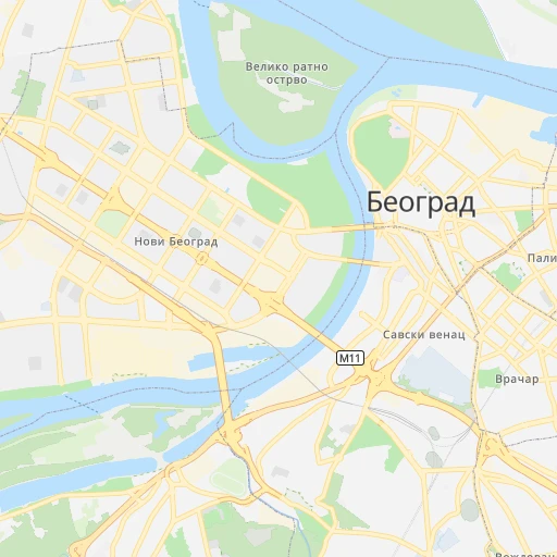
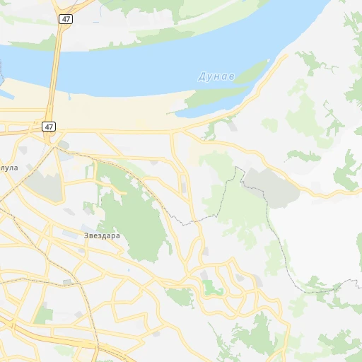
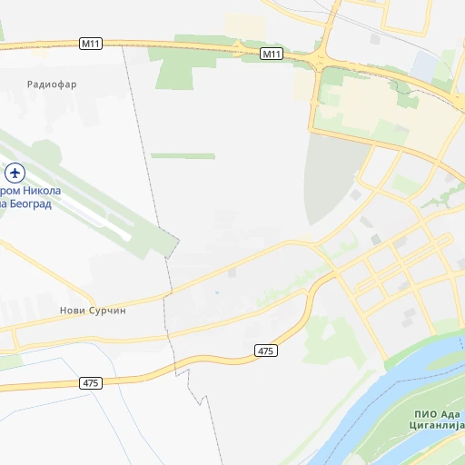
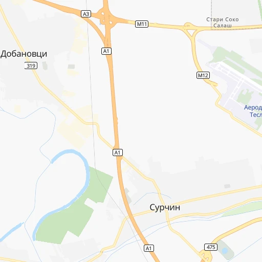
Roadmap (route) to go from Železnička Stanica Topčider to Stara Pazova detailed above, you can also see the course layout on the map.
While doing trip Železnička Stanica Topčider - Stara Pazova by car, the calculated route ends at a distance , or more straight.
Distance and duration of the route between Železnička Stanica Topčider and Stara Pazova
An error occured: undefined - for url https://router.cartes.cc/route?point=44.78333%2C20.45&point=44.985%2C20.16083&vehicle=car&debug=false&data_type=application%2Fjson&locale=en&points_encoded=true&instructions=true&elevation=false&optimize=false&timeout=10000&skip.host=true&skip.basePath=true&graphhopper_maps_host=https%3A%2F%2Fgraphhopper.com%2Fmaps%2F%3F&turn_sign_map.0=continue&turn_sign_map.1=turn%20slight%20right&turn_sign_map.2=turn%20right&turn_sign_map.3=turn%20sharp%20right&turn_sign_map.4=finish&turn_sign_map.5=reached%20via%20point&turn_sign_map.6=enter%20roundabout&turn_sign_map.-6=leave%20roundabout&turn_sign_map.-3=turn%20sharp%20left&turn_sign_map.-2=turn%20left&turn_sign_map.-1=turn%20slight%20left&key=&position=topleft
Calculation of distance and route from Stara Pazova to Železnička Stanica Topčider :
31.938.1 km1h34mn
Continue onto Толстојева 0h2mn 778 mAt roundabout, take exit 3 onto Булевар војводе Путника 0h1mn 1.2 kmKeep right and take 22 toward Нови Сад / Novi Sad, Сремска Митровица / Sremska Mitrovica, Чачак / Čačak, Сајам / Sajam 0h0mn 95 mKeep right and drive toward Нови Сад / Novi Sad, Сремска Митровица / Sremska Mitrovica 0h6mn 7.8 kmKeep right and drive toward Панчево / Pančevo, Земун / Zemun 0h3mn 2.4 kmTurn left and drive toward Нови Сад / Novi Sad 0h8mn 7.1 kmKeep right and take A1 toward Нови Сад / Novi Sad, Београд / Beograd 0h0mn 442 mKeep right and take A1 toward Нови Сад / Novi Sad 0h7mn 13.1 kmKeep right and take 127 toward Стара Пазова / Stara Pazova 0h0mn 509 mKeep left and take 127 toward Стара Пазова / Stara Pazova 0h0mn 25 mTurn left onto 127 0h1mn 764 mAt roundabout, take exit 2 onto Бановачка 0h1mn 1.4 kmAt roundabout, take exit 2 onto Бановачка 0h1mn 736 mAt roundabout, take exit 2 onto Вука Караџића 0h2mn 1.7 kmTurn right 0h0mn 16 mTurn left 0h0mn 28 mArrive at destination 0h0mn 0 m
Travel from Železnička Stanica Topčider (Vojvodina) to a selection of major cities.
Distances from Železnička Stanica Topčider to biggest cities in Central Serbia
- Prokuplje,27,673 inhabitants.195 km
- Smederevska Palanka,27,000 inhabitants.62 km
- Knjazevac,25,000 inhabitants.198 km
- Arangelovac,24,309 inhabitants.54 km
- Gornji Milanovac,23,982 inhabitants.84 km
- Lazarevac,23,551 inhabitants.47 km
- Sremcica,23,000 inhabitants.13 km
- Cuprija,20,585 inhabitants.120 km
Other major cities in country :
Route from Stara Pazova to major cities (Serbia).
- Distance Stara Pazova Belgrade31 km
- Distance Stara Pazova Nis231 km
- Distance Stara Pazova Zemun25 km
- Distance Stara Pazova Kragujevac123 km
- Distance Stara Pazova Cacak123 km
- Distance Stara Pazova Leskovac263 km
- Distance Stara Pazova Novi Pazar208 km
- Distance Stara Pazova Kraljevo146 km
- Distance Stara Pazova Krusevac182 km
- Distance Stara Pazova Uzice128 km
- Distance Stara Pazova Smederevo71 km
- Distance Stara Pazova Valjevo82 km
- Distance Stara Pazova Vranje305 km
- Distance Stara Pazova Sabac46 km
Nearest cities to Železnička Stanica Topčider :
- Belgrade, 1,273,651 inhabitants. 3 km
- Nis, 250,000 inhabitants. 200 km
- Novi Sad, 215,400 inhabitants. 71 km
- Zemun, 155,591 inhabitants. 8 km
- Kragujevac, 147,473 inhabitants. 93 km
- Cacak, 117,072 inhabitants. 100 km
- Subotica, 100,000 inhabitants. 159 km
- Leskovac, 94,758 inhabitants. 232 km
- Novi Pazar, 85,996 inhabitants. 183 km
- Kraljevo, 82,846 inhabitants. 119 km
- Zrenjanin, 79,773 inhabitants. 67 km
- Pancevo, 76,654 inhabitants. 18 km
- Krusevac, 75,256 inhabitants. 151 km
- Uzice, 63,577 inhabitants. 114 km
- Smederevo, 62,000 inhabitants. 40 km
- Valjevo, 61,035 inhabitants. 72 km
- Vranje, 56,199 inhabitants. 275 km
- Sabac, 55,114 inhabitants. 60 km
- Zajecar, 49,800 inhabitants. 174 km
- Trstenik, 49,043 inhabitants. 137 km
- Sombor, 48,454 inhabitants. 152 km
- Kikinda, 41,935 inhabitants. 116 km
- Pozarevac, 41,736 inhabitants. 61 km
- Pirot, 40,678 inhabitants. 249 km
- Bor, 39,387 inhabitants. 153 km
- Sremska Mitrovica, 39,084 inhabitants. 69 km
- Vrsac, 36,300 inhabitants. 77 km
- Jagodina, 35,589 inhabitants. 111 km
- Ruma, 32,229 inhabitants. 55 km
- Backa Palanka, 29,449 inhabitants. 98 km
- Prokuplje, 27,673 inhabitants. 195 km
- Smederevska Palanka, 27,000 inhabitants. 62 km
- Ingija, 26,247 inhabitants. 41 km
- Vrbas, 25,907 inhabitants. 108 km
- Becej, 25,774 inhabitants. 98 km
- Knjazevac, 25,000 inhabitants. 198 km
- Arangelovac, 24,309 inhabitants. 54 km
- Gornji Milanovac, 23,982 inhabitants. 84 km
- Lazarevac, 23,551 inhabitants. 47 km
- Sremcica, 23,000 inhabitants. 13 km
- Cuprija, 20,585 inhabitants. 120 km
- Senta, 20,302 inhabitants. 131 km
- Apatin, 18,320 inhabitants. 152 km
- Negotin, 17,612 inhabitants. 176 km
- Obrenovac, 16,821 inhabitants. 24 km
- Stara Pazova, 16,217 inhabitants. 32 km
- Backa Topola, 16,154 inhabitants. 132 km
- Nova Pazova, 15,488 inhabitants. 25 km
- Kovin, 14,250 inhabitants. 42 km
- Petrovaradin, 13,917 inhabitants. 68 km
Location Železnička Stanica Topčider (Central Serbia) :
| Country flag |  |
| Location | Železnička Stanica Topčider |
| State | Central Serbia |
| County | Belgrade |
| Country | Serbia |
| Country code / ISO 2 | RS |
| Latitude | 44.7833300 |
| Longitude | 20.4500000 |
| Altitude | 0 meters |
| Time zone | Europe/Belgrade |
Location Stara Pazova (Vojvodina) :
| Country flag | |
| Location | Stara Pazova |
| State | Vojvodina |
| County | Srem |
| Country | Serbia |
| Country code / ISO 2 | RS |
| Latitude | 44.9850000 |
| Longitude | 20.1608300 |
| Altitude | 0 meters |
| Time zone | Europe/Belgrade |