
How to get from Jordbro (Stockholm) to Tumba (Stockholm)
Calculate route from Jordbro (Stockholm, Sweden) to Tumba (Stockholm, Sweden).
The flight distance (as the crow flies) between Jordbro and Tumba is 17.8 km.
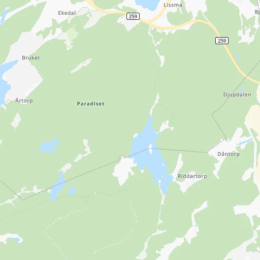
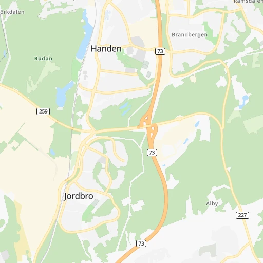
Roadmap (route) to go from Jordbro to Tumba detailed above, you can also see the course layout on the map.
While doing trip Jordbro - Tumba by car, the calculated route ends at a distance , or more straight.
Distance and duration of the route between Jordbro and Tumba
An error occured: undefined - for url https://router.cartes.cc/route?point=59.14146%2C18.12581&point=59.19858%2C17.83317&vehicle=car&debug=false&data_type=application%2Fjson&locale=en&points_encoded=true&instructions=true&elevation=false&optimize=false&timeout=10000&skip.host=true&skip.basePath=true&graphhopper_maps_host=https%3A%2F%2Fgraphhopper.com%2Fmaps%2F%3F&turn_sign_map.0=continue&turn_sign_map.1=turn%20slight%20right&turn_sign_map.2=turn%20right&turn_sign_map.3=turn%20sharp%20right&turn_sign_map.4=finish&turn_sign_map.5=reached%20via%20point&turn_sign_map.6=enter%20roundabout&turn_sign_map.-6=leave%20roundabout&turn_sign_map.-3=turn%20sharp%20left&turn_sign_map.-2=turn%20left&turn_sign_map.-1=turn%20slight%20left&key=&position=topleft
Calculation of distance and route from Tumba to Jordbro :
17.826.2 km0h30mn
Continue onto Nynäsvägen 0h0mn 221 mTurn left onto Lillsjövägen 0h4mn 2.2 kmTurn left onto Haningeleden 0h10mn 10.4 kmAt roundabout, take exit 1 onto Lännavägen 0h0mn 153 mAt roundabout, take exit 2 onto Lännavägen 0h1mn 950 mTurn left onto Storängsleden 0h13mn 11.2 kmKeep right 0h1mn 558 mTurn left onto Gröndalsvägen 0h0mn 249 mTurn left 0h0mn 107 mArrive at destination 0h0mn 0 m
Travel from Jordbro (Stockholm) to a selection of major cities.
Distances from Jordbro to biggest cities in Stockholm
- Boo,24,052 inhabitants.23 km
- Jakobsberg,24,046 inhabitants.35 km
- Gustavsberg,20,774 inhabitants.26 km
Other major cities in country :
Route from Tumba to major cities (Sweden).
- Distance Tumba Goeteborg380 km
- Distance Tumba Malmoe494 km
- Distance Tumba Uppsala74 km
- Distance Tumba Vaesteras86 km
- Distance Tumba OErebro150 km
- Distance Tumba Linkoeping155 km
- Distance Tumba Helsingborg466 km
- Distance Tumba Joenkoeping266 km
- Distance Tumba Norrkoeping116 km
- Distance Tumba Lund478 km
- Distance Tumba Umea531 km
- Distance Tumba Gaevle169 km
- Distance Tumba Boras329 km
- Distance Tumba Eskilstuna78 km
- Distance Tumba Halmstad407 km
- Distance Tumba Vaexjoe314 km
- Distance Tumba Karlstad247 km
- Distance Tumba Moelndal380 km
- Distance Tumba Sundsvall357 km
Nearest cities to Jordbro :
- Stockholm, 1,515,017 inhabitants. 22 km
- Uppsala, 149,245 inhabitants. 84 km
- Sollentuna, 139,606 inhabitants. 33 km
- Soedermalm, 127,323 inhabitants. 19 km
- Vaesteras, 117,746 inhabitants. 104 km
- OErebro, 115,765 inhabitants. 167 km
- Linkoeping, 106,502 inhabitants. 166 km
- Norrkoeping, 93,765 inhabitants. 127 km
- Huddinge, 90,182 inhabitants. 13 km
- Haninge, 74,968 inhabitants. 3 km
- Gaevle, 74,884 inhabitants. 179 km
- Soedertaelje, 70,777 inhabitants. 29 km
- Kungsholmen, 69,363 inhabitants. 22 km
- Eskilstuna, 67,359 inhabitants. 95 km
- Solna, 66,909 inhabitants. 25 km
- Bromma, 61,000 inhabitants. 25 km
- Vasastan, 58,458 inhabitants. 23 km
- Taby, 58,123 inhabitants. 34 km
- Lidingoe, 42,466 inhabitants. 25 km
- Borlaenge, 41,955 inhabitants. 212 km
- Tumba, 40,832 inhabitants. 18 km
- Kalmar, 38,408 inhabitants. 295 km
- Falun, 37,000 inhabitants. 214 km
- Upplands Vaesby, 36,534 inhabitants. 44 km
- Karlskrona, 36,477 inhabitants. 365 km
- OEstermalm, 36,418 inhabitants. 22 km
- Sundbyberg, 34,529 inhabitants. 26 km
- Akersberga, 32,659 inhabitants. 39 km
- Nykoeping, 32,224 inhabitants. 77 km
- Vallentuna, 31,937 inhabitants. 44 km
- Maersta, 27,034 inhabitants. 56 km
- Nacka, 25,170 inhabitants. 19 km
- Sandviken, 24,724 inhabitants. 181 km
- Boo, 24,052 inhabitants. 23 km
- Jakobsberg, 24,046 inhabitants. 35 km
- Visby, 23,402 inhabitants. 167 km
- Katrineholm, 23,283 inhabitants. 111 km
- Enkoeping, 22,553 inhabitants. 81 km
- Vaestervik, 21,178 inhabitants. 177 km
- Gustavsberg, 20,774 inhabitants. 26 km
- Norrtaelje, 19,365 inhabitants. 76 km
- Koeping, 18,355 inhabitants. 128 km
- Oskarshamn, 18,287 inhabitants. 231 km
- Tensta, 17,083 inhabitants. 31 km
- Rasunda, 16,877 inhabitants. 26 km
- Arsta, 16,807 inhabitants. 18 km
- Kumla, 16,663 inhabitants. 170 km
- Gamla Uppsala, 16,231 inhabitants. 89 km
- Hudiksvall, 16,081 inhabitants. 293 km
- Tullinge, 16,000 inhabitants. 14 km
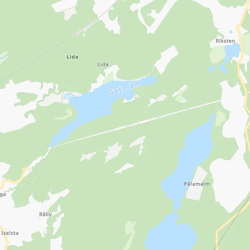
Location Jordbro (Stockholm) :
| Country flag |  |
| Location | Jordbro |
| State | Stockholm |
| County | Haninge Kommun |
| Country | Sweden |
| Country code / ISO 2 | SE |
| Latitude | 59.1414600 |
| Longitude | 18.1258100 |
| Altitude | 0 meters |
| Time zone | Europe/Stockholm |
Location Tumba (Stockholm) :
| Country flag | |
| Location | Tumba |
| State | Stockholm |
| County | Botkyrka Kommun |
| Country | Sweden |
| Country code / ISO 2 | SE |
| Latitude | 59.1985800 |
| Longitude | 17.8331700 |
| Altitude | 0 meters |
| Time zone | Europe/Stockholm |


