
How to get from Sankt Georgen (airport) (Lower Austria) to Ried im Innkreis (Upper Austria)
Calculate route from Sankt Georgen (airport) (Lower Austria, Austria) to Ried im Innkreis (Upper Austria, Austria).
The flight distance (as the crow flies) between Sankt Georgen (airport) and Ried im Innkreis is 109.0 km.
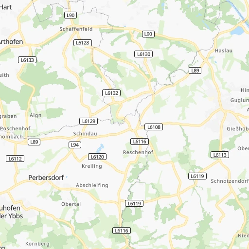
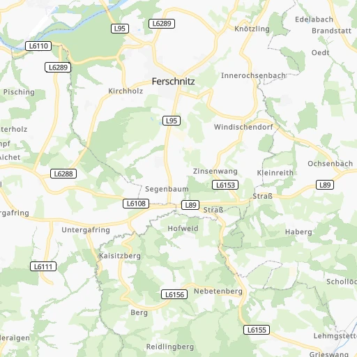
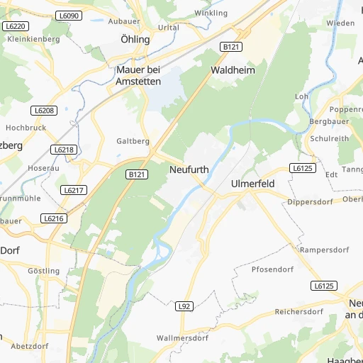
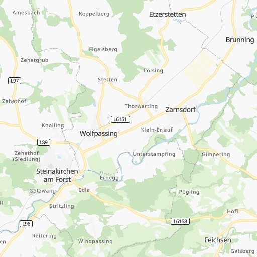
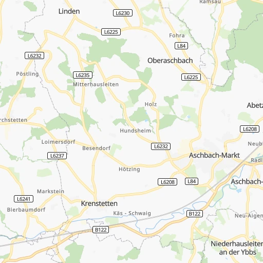
Roadmap (route) to go from Sankt Georgen Airport to Ried im Innkreis detailed above, you can also see the course layout on the map.
While doing trip Sankt Georgen (airport) - Ried im Innkreis by car, the calculated route ends at a distance , or more straight.
Distance and duration of the route between Sankt Georgen (airport) and Ried im Innkreis
An error occured: undefined - for url https://router.cartes.cc/route?point=48.10291%2C14.95042&point=48.21123%2C13.48855&vehicle=car&debug=false&data_type=application%2Fjson&locale=en&points_encoded=true&instructions=true&elevation=false&optimize=false&timeout=10000&skip.host=true&skip.basePath=true&graphhopper_maps_host=https%3A%2F%2Fgraphhopper.com%2Fmaps%2F%3F&turn_sign_map.0=continue&turn_sign_map.1=turn%20slight%20right&turn_sign_map.2=turn%20right&turn_sign_map.3=turn%20sharp%20right&turn_sign_map.4=finish&turn_sign_map.5=reached%20via%20point&turn_sign_map.6=enter%20roundabout&turn_sign_map.-6=leave%20roundabout&turn_sign_map.-3=turn%20sharp%20left&turn_sign_map.-2=turn%20left&turn_sign_map.-1=turn%20slight%20left&key=&position=topleft
Calculation of distance and route from Ried im Innkreis to Sankt Georgen (airport) :
109.0125.0 km1h15mn
Continue 0h1mn 453 mTurn right onto Ybbsstraße 0h1mn 867 mTurn left onto B1 0h2mn 2.9 kmAt roundabout, take exit 2 onto B1 0h2mn 1.3 kmAt roundabout, take exit 1 onto Wiener Straße 0h1mn 897 mAt roundabout, take exit 2 onto Wiener Straße 0h1mn 499 mAt roundabout, take exit 2 onto Wiener Straße 0h0mn 155 mTurn right onto Bahnhofstraße 0h0mn 225 mTurn sharp left onto Preinsbacher Straße 0h1mn 567 mTurn slight right onto Linzer Straße 0h0mn 43 mAt roundabout, take exit 2 onto Linzer Straße 0h3mn 2.7 kmAt roundabout, take exit 1 0h0mn 189 mKeep left and drive toward Linz, Salzburg 0h28mn 53.0 kmKeep right and take A25 toward Passau, Wels 0h24mn 47.7 kmKeep right and take B141 toward Haag am Hausruck, Ried im Innkreis, Messegelände, Geboltskirchen, Pram, Rottenbach, Autohof 0h0mn 314 mKeep right toward B141 0h0mn 42 mTurn slight right onto Rieder Straße 0h0mn 439 mAt roundabout, take exit 2 onto Rieder Straße 0h6mn 8.5 kmAt roundabout, take exit 3 onto Rieder Straße 0h2mn 2.5 kmTurn left onto Ottenbach and drive toward Ried im Innkreis-Ost, Krankenhaus 0h2mn 1.3 kmAt roundabout, take exit 1 onto Schloßberg 0h1mn 389 mAt roundabout, take exit 1 onto Johann-Georg-Hartwagner-Straße 0h0mn 78 mArrive at destination 0h0mn 0 m
Travel from Sankt Georgen (airport) (Upper Austria) to a selection of major cities.
Distances from Sankt Georgen Airport to biggest cities in Lower Austria
Other major cities in country :
Route from Ried im Innkreis to major cities (Austria).
- Distance Ried im Innkreis Vienna214 km
- Distance Ried im Innkreis Graz195 km
- Distance Ried im Innkreis Favoriten215 km
- Distance Ried im Innkreis Donaustadt220 km
- Distance Ried im Innkreis Floridsdorf216 km
- Distance Ried im Innkreis Salzburg57 km
- Distance Ried im Innkreis Innsbruck189 km
- Distance Ried im Innkreis Ottakring209 km
- Distance Ried im Innkreis Simmering219 km
- Distance Ried im Innkreis Meidling211 km
- Distance Ried im Innkreis Klagenfurt am Woerthersee187 km
- Distance Ried im Innkreis Villach180 km
- Distance Ried im Innkreis Hernals206 km
- Distance Ried im Innkreis Hietzing208 km
Nearest cities to Sankt Georgen (airport) :
- Vienna, 1,691,468 inhabitants. 106 km
- Graz, 222,326 inhabitants. 121 km
- Linz, 204,846 inhabitants. 54 km
- Favoriten, 201,882 inhabitants. 107 km
- Donaustadt, 187,007 inhabitants. 113 km
- Floridsdorf, 162,779 inhabitants. 109 km
- Salzburg, 153,377 inhabitants. 146 km
- Ottakring, 104,627 inhabitants. 101 km
- Simmering, 101,420 inhabitants. 111 km
- Meidling, 97,624 inhabitants. 103 km
- Klagenfurt am Woerthersee, 90,610 inhabitants. 172 km
- Villach, 58,882 inhabitants. 186 km
- Hernals, 57,546 inhabitants. 99 km
- Hietzing, 54,265 inhabitants. 100 km
- Wiener Neustadt, 44,820 inhabitants. 101 km
- Steyr, 38,331 inhabitants. 40 km
- Jakomini, 32,912 inhabitants. 123 km
- Lend, 31,147 inhabitants. 119 km
- Gries, 29,363 inhabitants. 121 km
- Baden, 26,286 inhabitants. 96 km
- Geidorf, 24,767 inhabitants. 119 km
- Weinzierl bei Krems, 24,092 inhabitants. 58 km
- Sankt Poelten, 21,911 inhabitants. 52 km
- Moedling, 20,555 inhabitants. 100 km
- Eggenberg, 20,511 inhabitants. 120 km
- Sankt Peter, 20,320 inhabitants. 170 km
- Sankt Martin, 20,000 inhabitants. 173 km
- Andritz, 19,020 inhabitants. 116 km
- Wels, 16,857 inhabitants. 69 km
- Innere Stadt, 16,450 inhabitants. 106 km
- Stockerau, 16,292 inhabitants. 99 km
- Strassgang, 16,268 inhabitants. 124 km
- Sankt Leonhard, 15,853 inhabitants. 121 km
- Wetzelsdorf, 15,687 inhabitants. 122 km
- Ansfelden, 15,673 inhabitants. 142 km
- Klosterneuburg, 15,614 inhabitants. 104 km
- Amstetten, 15,559 inhabitants. 6 km
- Sankt Peter, 15,187 inhabitants. 123 km
- Perchtoldsdorf, 15,047 inhabitants. 98 km
- Krems an der Donau, 14,473 inhabitants. 60 km
- Liebenau, 14,447 inhabitants. 125 km
- Woergl, 13,811 inhabitants. 227 km
- Gmunden, 13,191 inhabitants. 88 km
- Korneuburg, 12,986 inhabitants. 106 km
- Spittal an der Drau, 12,880 inhabitants. 182 km
- Tulln, 12,421 inhabitants. 86 km
- Schwechat, 12,351 inhabitants. 113 km
- Waltendorf, 11,960 inhabitants. 122 km
- Ried im Innkreis, 11,903 inhabitants. 109 km
- Brunn am Gebirge, 11,864 inhabitants. 99 km
Location Sankt Georgen (airport) (Lower Austria) :
| Country flag |  |
| Location | Sankt Georgen (airport) |
| State | Lower Austria |
| County | Politischer Bezirk Amstetten |
| Country | Austria |
| Country code / ISO 2 | AT |
| Latitude | 48.1029100 |
| Longitude | 14.9504200 |
| Altitude | 0 meters |
| Time zone | Europe/Vienna |
Location Ried im Innkreis (Upper Austria) :
| Country flag | |
| Location | Ried im Innkreis |
| State | Upper Austria |
| County | Politischer Bezirk Ried im Innkreis |
| Country | Austria |
| Country code / ISO 2 | AT |
| Latitude | 48.2112300 |
| Longitude | 13.4885500 |
| Altitude | 0 meters |
| Time zone | Europe/Vienna |


